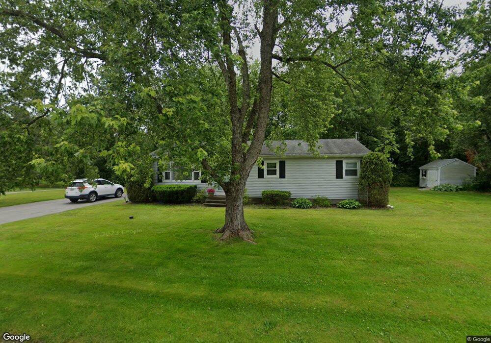
61 Almada St Westport, MA 02790
North Westport NeighborhoodEstimated Value: $416,826 - $494,000
3
Beds
3
Baths
1,104
Sq Ft
$407/Sq Ft
Est. Value
About This Home
This home is located at 61 Almada St, Westport, MA 02790 and is currently estimated at $449,457, approximately $407 per square foot. 61 Almada St is a home located in Bristol County with nearby schools including Alice A. Macomber Primary School and Westport Elementary School.
Create a Home Valuation Report for This Property
The Home Valuation Report is an in-depth analysis detailing your home's value as well as a comparison with similar homes in the area
Home Values in the Area
Average Home Value in this Area
Tax History Compared to Growth
Tax History
| Year | Tax Paid | Tax Assessment Tax Assessment Total Assessment is a certain percentage of the fair market value that is determined by local assessors to be the total taxable value of land and additions on the property. | Land | Improvement |
|---|---|---|---|---|
| 2025 | $2,453 | $329,200 | $162,000 | $167,200 |
| 2024 | $2,435 | $315,000 | $150,000 | $165,000 |
| 2023 | $2,352 | $288,200 | $136,700 | $151,500 |
| 2022 | $2,147 | $253,200 | $124,300 | $128,900 |
| 2021 | $2,367 | $241,900 | $113,000 | $128,900 |
| 2020 | $2,000 | $237,300 | $108,400 | $128,900 |
| 2019 | $2,247 | $234,800 | $108,400 | $126,400 |
| 2018 | $5,509 | $208,300 | $116,700 | $91,600 |
| 2017 | $2,065 | $206,400 | $116,700 | $89,700 |
| 2016 | $1,595 | $201,600 | $116,700 | $84,900 |
| 2015 | $1,524 | $192,200 | $116,700 | $75,500 |
Source: Public Records
Map
Nearby Homes
- 15 S Breault St
- 116 Gifford Rd
- 16 S Berryman St
- 80 Gifford Rd
- 380 Gifford Rd
- 23 Donna St
- 79 Center St
- 565 Highland Ave
- 100 D Dr
- 96 Forge Rd
- 29 Union Ave
- 3 Diane Way
- 1276 Old Fall River Rd
- 56 Lakeside Ave
- 55 Lakeside Ave
- 92 Benoit St
- 3 Roller Coaster Way Unit Lot 1
- 4 Main Rd
- 818 Reed Rd
- 2 Donna Marie Dr