61 Austin Way Morgantown, WV 26508
Estimated Value: $405,362 - $479,000
4
Beds
3
Baths
3,160
Sq Ft
$139/Sq Ft
Est. Value
About This Home
This home is located at 61 Austin Way, Morgantown, WV 26508 and is currently estimated at $437,841, approximately $138 per square foot. 61 Austin Way is a home located in Monongalia County with nearby schools including Eastwood Elementary School, Mountaineer Middle School, and University High School.
Ownership History
Date
Name
Owned For
Owner Type
Purchase Details
Closed on
Jun 17, 2024
Sold by
Crane John S and Crane Emily D
Bought by
Stouffer Zachary R and Stouffer Rachel A
Current Estimated Value
Home Financials for this Owner
Home Financials are based on the most recent Mortgage that was taken out on this home.
Original Mortgage
$351,000
Outstanding Balance
$346,580
Interest Rate
7.09%
Mortgage Type
New Conventional
Estimated Equity
$91,261
Purchase Details
Closed on
Dec 1, 2021
Sold by
Kacik Andrew and Kacik Tanya R
Bought by
Crane John S and Crane Emily D
Home Financials for this Owner
Home Financials are based on the most recent Mortgage that was taken out on this home.
Original Mortgage
$260,000
Interest Rate
3.09%
Mortgage Type
New Conventional
Create a Home Valuation Report for This Property
The Home Valuation Report is an in-depth analysis detailing your home's value as well as a comparison with similar homes in the area
Home Values in the Area
Average Home Value in this Area
Purchase History
| Date | Buyer | Sale Price | Title Company |
|---|---|---|---|
| Stouffer Zachary R | $390,000 | None Listed On Document | |
| Crane John S | $325,000 | None Available |
Source: Public Records
Mortgage History
| Date | Status | Borrower | Loan Amount |
|---|---|---|---|
| Open | Stouffer Zachary R | $351,000 | |
| Previous Owner | Crane John S | $260,000 |
Source: Public Records
Tax History Compared to Growth
Tax History
| Year | Tax Paid | Tax Assessment Tax Assessment Total Assessment is a certain percentage of the fair market value that is determined by local assessors to be the total taxable value of land and additions on the property. | Land | Improvement |
|---|---|---|---|---|
| 2024 | $1,931 | $182,340 | $34,080 | $148,260 |
| 2023 | $1,943 | $182,340 | $34,080 | $148,260 |
| 2022 | $1,858 | $181,260 | $34,080 | $147,180 |
| 2021 | $1,867 | $181,260 | $34,080 | $147,180 |
| 2020 | $1,891 | $182,820 | $34,080 | $148,740 |
| 2019 | $1,873 | $179,820 | $34,080 | $145,740 |
| 2018 | $1,879 | $179,820 | $34,080 | $145,740 |
| 2017 | $1,885 | $179,400 | $32,160 | $147,240 |
| 2016 | $1,646 | $155,700 | $29,460 | $126,240 |
| 2015 | $1,550 | $153,300 | $27,060 | $126,240 |
| 2014 | $1,464 | $151,800 | $25,980 | $125,820 |
Source: Public Records
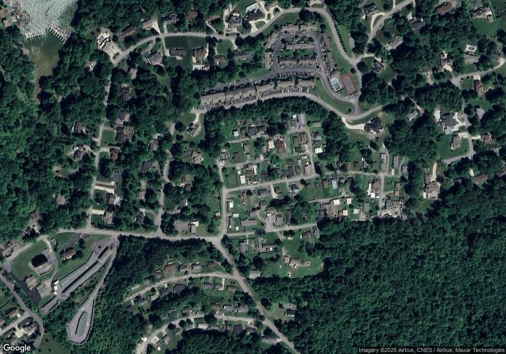
Map
Nearby Homes
- 542 Cherokee Dr
- 2312 Lakeside Estates
- 2081 Lakeside Estates
- 4134 Cove Point Dr
- 4759 Ridgetop Dr
- TBD Canyon Rd
- 0 Canyon Rd
- 1009 Summit Dr
- 4506 Laurel Ridge Dr
- Lot 74 Monument Ln
- 10 Monument Ln
- 4212 Persimmon Woods Dr
- 136 Southwind Cir
- 124 Gladstone Cir
- 111 Canyon Ridge Dr
- 171 Stockett Rd
- 126 George Rd
- 92 Clear Spring Dr
- 90 Clear Spring Dr
- 47 Clear Spring Dr