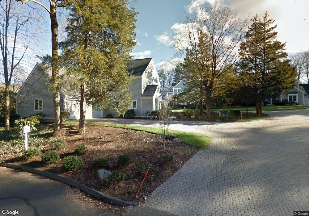
61 Barnes Rd Stamford, CT 06902
Turn of the River-Newfield NeighborhoodEstimated Value: $1,215,000 - $1,528,000
3
Beds
3
Baths
3,072
Sq Ft
$456/Sq Ft
Est. Value
About This Home
This home is located at 61 Barnes Rd, Stamford, CT 06902 and is currently estimated at $1,401,979, approximately $456 per square foot. 61 Barnes Rd is a home located in Fairfield County with nearby schools including Davenport Ridge Elementary School, Rippowam Middle School, and Stamford High School.
Ownership History
Date
Name
Owned For
Owner Type
Purchase Details
Closed on
Jun 30, 2010
Sold by
Oztemel Mary
Bought by
Stone Gary and Stone Susan
Current Estimated Value
Purchase Details
Closed on
Dec 17, 1997
Sold by
Putnam Trust
Bought by
Oztemel Ara and Oztemel Mary
Home Financials for this Owner
Home Financials are based on the most recent Mortgage that was taken out on this home.
Original Mortgage
$530,000
Interest Rate
7.41%
Mortgage Type
Unknown
Purchase Details
Closed on
Sep 26, 1994
Sold by
Loomis Bernard and Loomis Lillian
Bought by
Putnam Trust Co Greenw
Create a Home Valuation Report for This Property
The Home Valuation Report is an in-depth analysis detailing your home's value as well as a comparison with similar homes in the area
Home Values in the Area
Average Home Value in this Area
Purchase History
| Date | Buyer | Sale Price | Title Company |
|---|---|---|---|
| Stone Gary | $745,000 | -- | |
| Oztemel Ara | $580,000 | -- | |
| Putnam Trust Co Greenw | $575,000 | -- |
Source: Public Records
Mortgage History
| Date | Status | Borrower | Loan Amount |
|---|---|---|---|
| Previous Owner | Putnam Trust Co Greenw | $530,000 |
Source: Public Records
Tax History Compared to Growth
Tax History
| Year | Tax Paid | Tax Assessment Tax Assessment Total Assessment is a certain percentage of the fair market value that is determined by local assessors to be the total taxable value of land and additions on the property. | Land | Improvement |
|---|---|---|---|---|
| 2025 | $13,736 | $580,560 | $0 | $580,560 |
| 2024 | $13,434 | $580,560 | $0 | $580,560 |
| 2023 | $14,433 | $580,560 | $0 | $580,560 |
| 2022 | $13,844 | $517,740 | $0 | $517,740 |
| 2021 | $13,694 | $517,740 | $0 | $517,740 |
| 2020 | $13,342 | $517,740 | $0 | $517,740 |
| 2019 | $13,342 | $517,740 | $0 | $517,740 |
| 2018 | $12,850 | $517,740 | $0 | $517,740 |
| 2017 | $13,249 | $509,560 | $0 | $509,560 |
| 2016 | $12,877 | $509,560 | $0 | $509,560 |
| 2015 | $12,540 | $509,560 | $0 | $509,560 |
| 2014 | $12,122 | $509,560 | $0 | $509,560 |
Source: Public Records
Map
Nearby Homes
- 181 Crystal Lake Rd
- 157 Woodridge Dr S
- 113 Wood Ridge Dr
- 20 Wild Horse Rd
- 27 Emma Rd
- 38 Lancaster Place
- 56 Bradley Place
- 31 Rosano Rd
- 226 Cedar Heights Rd
- 160 Wire Mill Rd
- 500 High Ridge Rd
- 20 Walnut Ridge Ln
- 50 Long Hill Dr
- 433 High Ridge Rd
- 122 Brook Run Ln
- 28 Winter St
- 14 Barmore Dr
- 506 Roxbury Rd
- 51 Northwood Ln
- 177 Long Close Rd