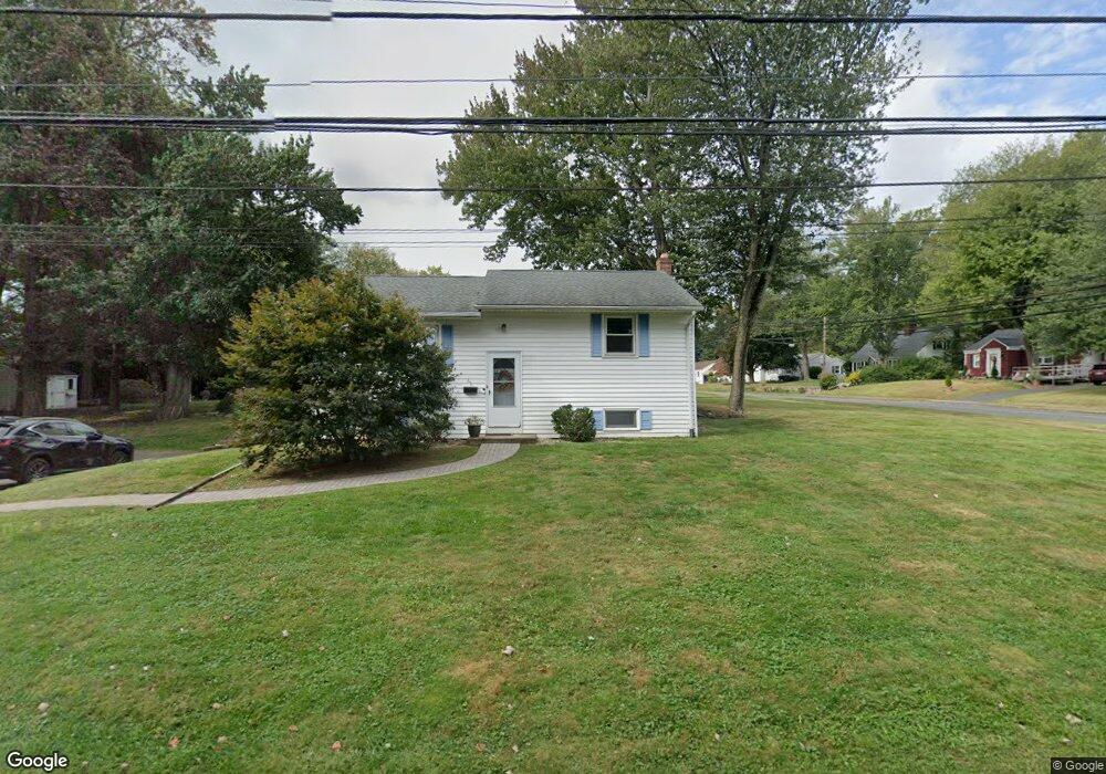
61 Berkshire Rd West Hartford, CT 06107
Estimated Value: $261,000 - $384,000
3
Beds
2
Baths
1,314
Sq Ft
$237/Sq Ft
Est. Value
About This Home
This home is located at 61 Berkshire Rd, West Hartford, CT 06107 and is currently estimated at $312,035, approximately $237 per square foot. 61 Berkshire Rd is a home located in Hartford County with nearby schools including Webster Hill School, Sedgwick Middle School, and Conard High School.
Ownership History
Date
Name
Owned For
Owner Type
Purchase Details
Closed on
May 11, 2011
Sold by
Reklaitis Joseph
Bought by
61 Berkshire Road Llc
Current Estimated Value
Purchase Details
Closed on
Jan 13, 2010
Sold by
Kearns 3Rd John F
Bought by
Reklaitis William N
Create a Home Valuation Report for This Property
The Home Valuation Report is an in-depth analysis detailing your home's value as well as a comparison with similar homes in the area
Home Values in the Area
Average Home Value in this Area
Purchase History
| Date | Buyer | Sale Price | Title Company |
|---|---|---|---|
| 61 Berkshire Road Llc | $115,000 | -- | |
| Reklaitis William N | -- | -- | |
| Kearns 3Rd John F | -- | -- |
Source: Public Records
Tax History Compared to Growth
Tax History
| Year | Tax Paid | Tax Assessment Tax Assessment Total Assessment is a certain percentage of the fair market value that is determined by local assessors to be the total taxable value of land and additions on the property. | Land | Improvement |
|---|---|---|---|---|
| 2025 | $6,069 | $135,520 | $62,790 | $72,730 |
| 2024 | $5,739 | $135,520 | $62,790 | $72,730 |
| 2023 | $5,545 | $135,520 | $62,790 | $72,730 |
| 2022 | $5,513 | $135,520 | $62,790 | $72,730 |
| 2021 | $5,734 | $135,170 | $65,380 | $69,790 |
| 2020 | $5,074 | $121,380 | $61,250 | $60,130 |
| 2019 | $5,074 | $121,380 | $61,250 | $60,130 |
| 2018 | $4,977 | $121,380 | $61,250 | $60,130 |
| 2017 | $4,981 | $121,380 | $61,250 | $60,130 |
| 2016 | $4,857 | $122,920 | $58,590 | $64,330 |
| 2015 | $4,709 | $122,920 | $58,590 | $64,330 |
| 2014 | $4,594 | $122,920 | $58,590 | $64,330 |
Source: Public Records
Map
Nearby Homes
- 32 Miles Standish Dr
- 1 Valley Crest Dr
- 34 Sandhurst Dr
- 24 Thorne Rd Unit 24
- 236 Ridgewood Rd
- 422 S Main St
- 479 S Main St
- 61 Waterside Ln
- 25 Fowler Dr
- 18 Federal St
- 43 Burnham Dr
- 96 Bentwood Rd
- 39 Pheasant Hill Dr
- 29 Fairwood Farms Dr
- 54 Red Top Dr
- 107 Westgate St
- 39 Cortland St
- 61 Colonial St
- 11 Fairwood Farms Dr
- 49 Somerset St
- 243 Beechwood Rd
- 247 Beechwood Rd
- 60 Berkshire Rd
- 240 Beechwood Rd
- 253 Beechwood Rd
- 54 Berkshire Rd
- 221 Beechwood Rd
- 50 Berkshire Rd
- 68 Berkshire Rd
- 246 Beechwood Rd
- 259 Beechwood Rd
- 252 Beechwood Rd
- 71 Berkshire Rd
- 215 Beechwood Rd
- 10 Mildred Rd
- 220 Beechwood Rd
- 256 Beechwood Rd
- 263 Beechwood Rd
- 56 Berkshire Rd
- 14 Mildred Rd