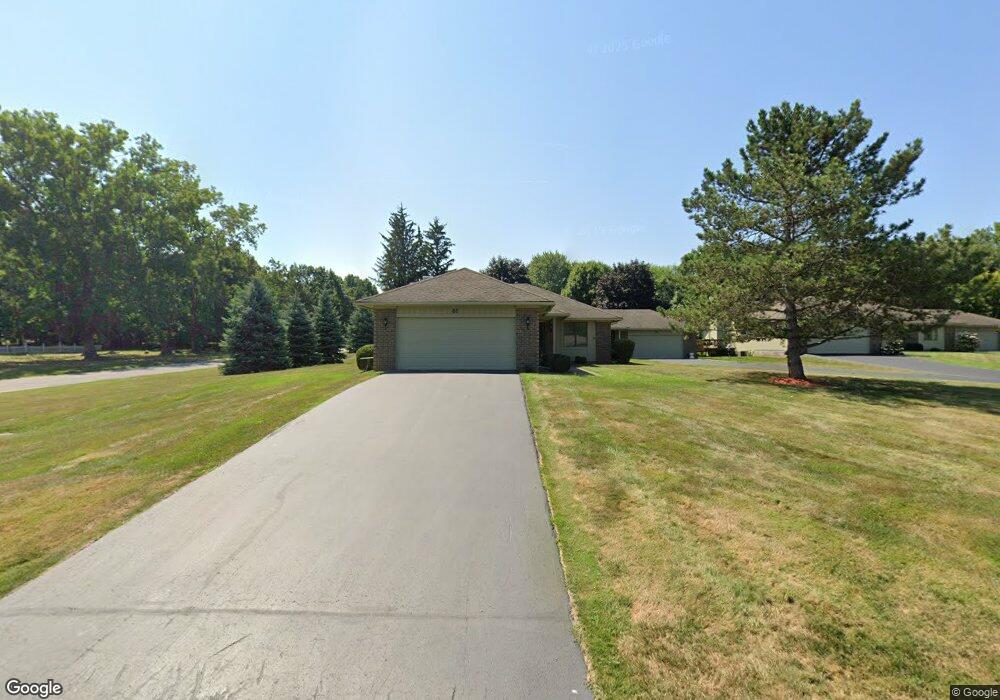
61 Bev Cir Brockport, NY 14420
Estimated Value: $291,457 - $300,000
2
Beds
2
Baths
1,436
Sq Ft
$207/Sq Ft
Est. Value
About This Home
This home is located at 61 Bev Cir, Brockport, NY 14420 and is currently estimated at $297,114, approximately $206 per square foot. 61 Bev Cir is a home located in Monroe County with nearby schools including Ginther Elementary School, Barclay Elementary School, and Fred W. Hill Elementary School.
Ownership History
Date
Name
Owned For
Owner Type
Purchase Details
Closed on
Mar 28, 2024
Sold by
Kelly Barbara A
Bought by
Brown Jeffery A and Brown Marilyn R
Current Estimated Value
Purchase Details
Closed on
Sep 15, 2009
Sold by
Ferrence Elizabeth and Brown Pauline E
Bought by
Kelly Barbara A
Purchase Details
Closed on
Dec 2, 1999
Sold by
Reding Kenenth C and Reding Rita
Bought by
Nutter Linda
Create a Home Valuation Report for This Property
The Home Valuation Report is an in-depth analysis detailing your home's value as well as a comparison with similar homes in the area
Home Values in the Area
Average Home Value in this Area
Purchase History
| Date | Buyer | Sale Price | Title Company |
|---|---|---|---|
| Brown Jeffery A | $270,000 | Stewart Title Insurance Compan | |
| Kelly Barbara A | $160,000 | None Available | |
| Nutter Linda | $126,900 | Mark H Klafehn |
Source: Public Records
Tax History Compared to Growth
Tax History
| Year | Tax Paid | Tax Assessment Tax Assessment Total Assessment is a certain percentage of the fair market value that is determined by local assessors to be the total taxable value of land and additions on the property. | Land | Improvement |
|---|---|---|---|---|
| 2024 | $4,999 | $181,800 | $6,700 | $175,100 |
| 2023 | $1,159 | $181,800 | $6,700 | $175,100 |
| 2022 | $5,357 | $172,000 | $5,000 | $167,000 |
| 2021 | $5,313 | $172,000 | $5,000 | $167,000 |
| 2020 | $1,639 | $172,000 | $5,000 | $167,000 |
| 2019 | $1,664 | $172,000 | $5,000 | $167,000 |
| 2018 | $1,690 | $158,800 | $3,300 | $155,500 |
| 2017 | $429 | $158,800 | $3,300 | $155,500 |
| 2016 | $1,664 | $158,800 | $3,300 | $155,500 |
| 2015 | -- | $158,800 | $3,300 | $155,500 |
| 2014 | -- | $158,800 | $3,300 | $155,500 |
Source: Public Records
Map
Nearby Homes
- 248 West Ave
- 75 Clark St
- 305 Willowbrooke Dr
- 27 Cherry Dr
- 0000 Lake Rd N
- 43/45 Fayette St
- 56 Market St
- 51 College St
- 3871 Lake Rd N
- 439 Holley St
- 121 Lyman St
- 11 Brockway Place
- 45 Chappell St
- 185 Lyman St
- 8888 W Ridge Rd
- 00 Lake Rd
- 0 Lake Unit R1622987
- 3 Candlewick Dr
- 38 Cloverwood Dr
- 0 Sweden Walker Rd Unit R1289251