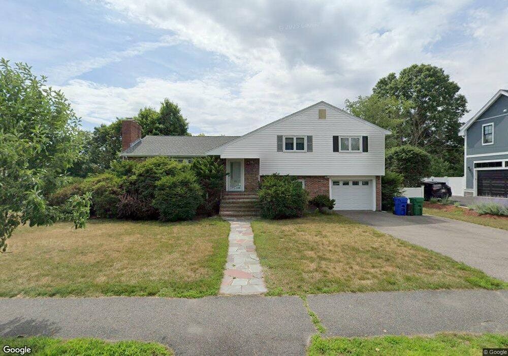
61 Brandeis Rd Newton Center, MA 02459
Oak Hill NeighborhoodEstimated Value: $1,360,000 - $1,586,000
3
Beds
3
Baths
2,487
Sq Ft
$590/Sq Ft
Est. Value
About This Home
This home is located at 61 Brandeis Rd, Newton Center, MA 02459 and is currently estimated at $1,468,205, approximately $590 per square foot. 61 Brandeis Rd is a home located in Middlesex County with nearby schools including Countryside Elementary School, Bowen School, and Charles E Brown Middle School.
Ownership History
Date
Name
Owned For
Owner Type
Purchase Details
Closed on
Sep 5, 2003
Sold by
Gordon Irving E and Gordon Beatrice O
Bought by
Peng Lily and Chou James
Current Estimated Value
Home Financials for this Owner
Home Financials are based on the most recent Mortgage that was taken out on this home.
Original Mortgage
$320,000
Outstanding Balance
$146,198
Interest Rate
6.02%
Mortgage Type
Purchase Money Mortgage
Estimated Equity
$1,322,007
Create a Home Valuation Report for This Property
The Home Valuation Report is an in-depth analysis detailing your home's value as well as a comparison with similar homes in the area
Home Values in the Area
Average Home Value in this Area
Purchase History
| Date | Buyer | Sale Price | Title Company |
|---|---|---|---|
| Peng Lily | $638,000 | -- |
Source: Public Records
Mortgage History
| Date | Status | Borrower | Loan Amount |
|---|---|---|---|
| Open | Peng Lily | $320,000 |
Source: Public Records
Tax History Compared to Growth
Tax History
| Year | Tax Paid | Tax Assessment Tax Assessment Total Assessment is a certain percentage of the fair market value that is determined by local assessors to be the total taxable value of land and additions on the property. | Land | Improvement |
|---|---|---|---|---|
| 2025 | $10,484 | $1,069,800 | $955,700 | $114,100 |
| 2024 | $10,137 | $1,038,600 | $927,900 | $110,700 |
| 2023 | $9,561 | $939,200 | $713,800 | $225,400 |
| 2022 | $9,148 | $869,600 | $660,900 | $208,700 |
| 2021 | $8,828 | $820,400 | $623,500 | $196,900 |
| 2020 | $8,565 | $820,400 | $623,500 | $196,900 |
| 2019 | $8,323 | $796,500 | $605,300 | $191,200 |
| 2018 | $7,614 | $703,700 | $548,300 | $155,400 |
| 2017 | $7,383 | $663,900 | $517,300 | $146,600 |
| 2016 | $7,061 | $620,500 | $483,500 | $137,000 |
| 2015 | $6,733 | $579,900 | $451,900 | $128,000 |
Source: Public Records
Map
Nearby Homes
- 53 Brandeis Rd
- 71 Brandeis Rd
- 75 Great Meadow Rd
- 66 Roosevelt Rd
- 67 Roosevelt Rd
- 79 Brandeis Rd
- 76 Brandeis Rd
- 67 Great Meadow Rd
- 44 Brandeis Rd
- 70 Great Meadow Rd
- 87 Brandeis Rd
- 84 Brandeis Rd
- 56 Roosevelt Rd
- 0 Confidential Unit 71385056
- 0 Confidential Unit 71776423
- 0 Confidential Unit 70389128
- 0 Confidential Unit 73082970
- 99999 Confidential
- 61 Great Meadow Rd
- 53 Roosevelt Rd