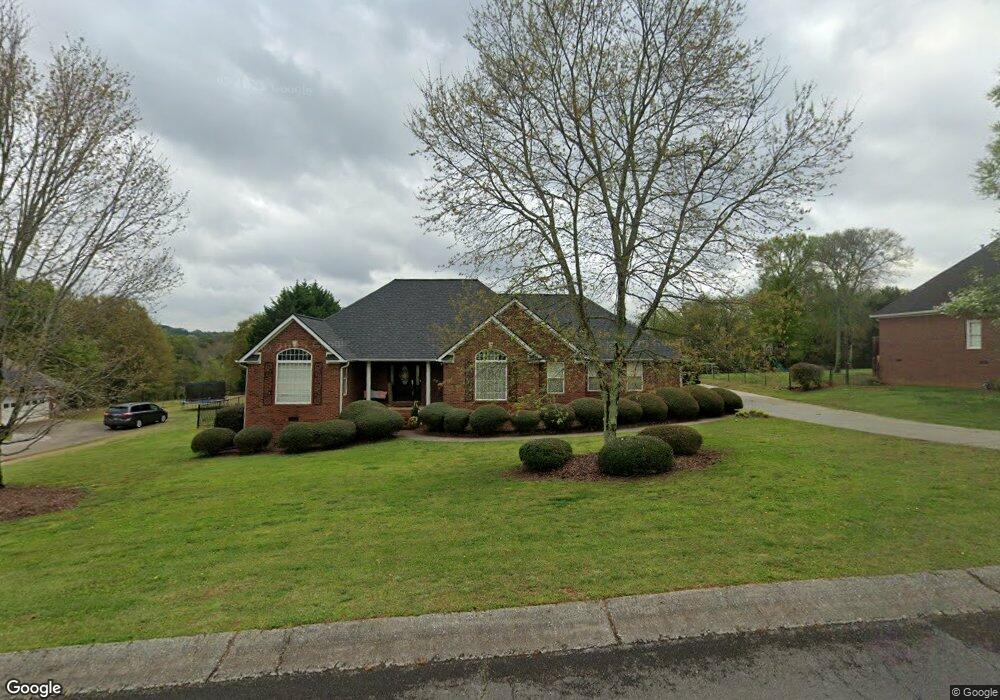
61 Breck Dr Cedartown, GA 30125
Estimated Value: $366,000 - $417,000
3
Beds
2
Baths
1,908
Sq Ft
$203/Sq Ft
Est. Value
About This Home
This home is located at 61 Breck Dr, Cedartown, GA 30125 and is currently estimated at $387,842, approximately $203 per square foot. 61 Breck Dr is a home located in Polk County with nearby schools including Vineyard Harvester Christian Academy.
Ownership History
Date
Name
Owned For
Owner Type
Purchase Details
Closed on
May 27, 2005
Sold by
Smith Norman L
Bought by
Roper Andrew and Smith Lori E
Current Estimated Value
Home Financials for this Owner
Home Financials are based on the most recent Mortgage that was taken out on this home.
Original Mortgage
$223,100
Outstanding Balance
$115,946
Interest Rate
5.69%
Mortgage Type
New Conventional
Estimated Equity
$271,896
Purchase Details
Closed on
May 14, 1999
Sold by
Tillery Roger H
Bought by
Smith Norman L and Smith Lori E
Purchase Details
Closed on
Dec 12, 1997
Sold by
Tillery Roger
Create a Home Valuation Report for This Property
The Home Valuation Report is an in-depth analysis detailing your home's value as well as a comparison with similar homes in the area
Home Values in the Area
Average Home Value in this Area
Purchase History
| Date | Buyer | Sale Price | Title Company |
|---|---|---|---|
| Roper Andrew | $230,000 | -- | |
| Smith Norman L | $17,300 | -- | |
| -- | -- | -- |
Source: Public Records
Mortgage History
| Date | Status | Borrower | Loan Amount |
|---|---|---|---|
| Open | Roper Andrew | $223,100 |
Source: Public Records
Tax History Compared to Growth
Tax History
| Year | Tax Paid | Tax Assessment Tax Assessment Total Assessment is a certain percentage of the fair market value that is determined by local assessors to be the total taxable value of land and additions on the property. | Land | Improvement |
|---|---|---|---|---|
| 2024 | $3,022 | $146,588 | $14,000 | $132,588 |
| 2023 | $2,351 | $101,052 | $14,000 | $87,052 |
| 2022 | $1,891 | $81,676 | $6,000 | $75,676 |
| 2021 | $1,915 | $81,676 | $6,000 | $75,676 |
| 2020 | $1,870 | $79,648 | $6,000 | $73,648 |
| 2019 | $2,064 | $78,857 | $9,000 | $69,857 |
| 2018 | $2,013 | $75,041 | $9,000 | $66,041 |
| 2017 | $1,988 | $75,041 | $9,000 | $66,041 |
| 2016 | $1,988 | $75,041 | $9,000 | $66,041 |
| 2015 | $1,999 | $75,221 | $9,000 | $66,221 |
| 2014 | $2,013 | $75,221 | $9,000 | $66,221 |
Source: Public Records
Map
Nearby Homes
- 12 Breckenridge Dr
- 462 Oakwood Dr
- 362 Oakwood Dr
- 77 Ben Dr W
- 0 Blanche Rd Unit 10609468
- 0 Blanche Rd Unit 7652978
- 660 Valley Rd
- 292 Kimwood Dr
- 662 Hillside Dr
- 645 Valley Rd
- 220 Greenbriar Dr
- 618 Valley Rd
- 256 Cuzzort Rd
- 812 Blanche Rd
- 64 Virginia Cir
- 109 Perry St
- 133 Virginia Cir
- 207 John Phillips Rd
- 0 Woodlawn Dr Unit 7638056
- 0 Woodlawn Dr Unit 10590789