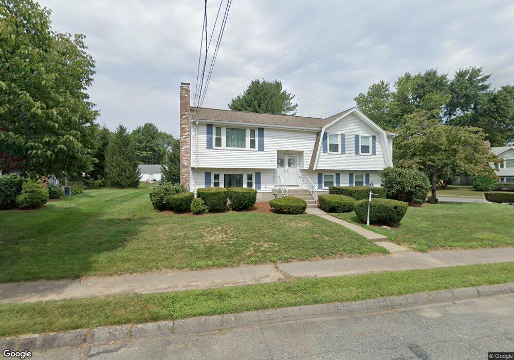
61 Brewster Dr Needham, MA 02492
Estimated Value: $1,104,000 - $1,451,927
3
Beds
3
Baths
1,468
Sq Ft
$841/Sq Ft
Est. Value
About This Home
This home is located at 61 Brewster Dr, Needham, MA 02492 and is currently estimated at $1,234,982, approximately $841 per square foot. 61 Brewster Dr is a home located in Norfolk County with nearby schools including Newman Elementary School, High Rock Middle School, and Pollard Middle School.
Create a Home Valuation Report for This Property
The Home Valuation Report is an in-depth analysis detailing your home's value as well as a comparison with similar homes in the area
Home Values in the Area
Average Home Value in this Area
Tax History
| Year | Tax Paid | Tax Assessment Tax Assessment Total Assessment is a certain percentage of the fair market value that is determined by local assessors to be the total taxable value of land and additions on the property. | Land | Improvement |
|---|---|---|---|---|
| 2025 | $12,493 | $1,178,600 | $797,700 | $380,900 |
| 2024 | $11,204 | $894,900 | $575,500 | $319,400 |
| 2023 | $11,306 | $867,000 | $575,500 | $291,500 |
| 2022 | $10,612 | $793,700 | $514,000 | $279,700 |
| 2021 | $10,342 | $793,700 | $514,000 | $279,700 |
| 2020 | $10,158 | $813,300 | $514,000 | $299,300 |
| 2019 | $9,416 | $760,000 | $467,400 | $292,600 |
| 2018 | $9,029 | $760,000 | $467,400 | $292,600 |
| 2017 | $8,623 | $725,200 | $467,400 | $257,800 |
| 2016 | $8,401 | $728,000 | $467,400 | $260,600 |
| 2015 | $8,219 | $728,000 | $467,400 | $260,600 |
| 2014 | $7,659 | $658,000 | $406,600 | $251,400 |
Source: Public Records
Map
Nearby Homes
- 21 Brewster Dr
- 37 Standish Rd
- 19 Mason Rd
- 15 Mackintosh Ave
- 620 High Rock St
- 333 Cartwright Rd
- 52 Hancock Rd
- 189 Bridle Trail Rd
- 3 Hancock Rd
- 102 Jarvis Cir Unit 102
- 37 Carleton Dr
- 170 Benvenue St
- 95 Deerfield Rd
- 81 Parish Rd
- 36 Eliot Rd
- 34 Pershing Rd
- 20 Arden Rd
- 365 Charles River St
- 15 Great Plain Ave
- 15 Alden Rd
Your Personal Tour Guide
Ask me questions while you tour the home.