61 Bridle Path Ln New Canaan, CT 06840
Estimated Value: $2,416,000 - $2,754,555
5
Beds
6
Baths
3,963
Sq Ft
$669/Sq Ft
Est. Value
About This Home
This home is located at 61 Bridle Path Ln, New Canaan, CT 06840 and is currently estimated at $2,651,139, approximately $668 per square foot. 61 Bridle Path Ln is a home located in Fairfield County with nearby schools including West Elementary School, Saxe Middle School, and New Canaan High School.
Ownership History
Date
Name
Owned For
Owner Type
Purchase Details
Closed on
Sep 17, 1997
Sold by
Howell Group Llc
Bought by
Spangler Robert E and Powell Joanne E
Current Estimated Value
Purchase Details
Closed on
May 20, 1997
Sold by
Connolly John P and Connolly Joan P
Bought by
Howell Jeanne
Create a Home Valuation Report for This Property
The Home Valuation Report is an in-depth analysis detailing your home's value as well as a comparison with similar homes in the area
Home Values in the Area
Average Home Value in this Area
Purchase History
| Date | Buyer | Sale Price | Title Company |
|---|---|---|---|
| Spangler Robert E | $917,500 | -- | |
| Howell Jeanne | $590,000 | -- |
Source: Public Records
Mortgage History
| Date | Status | Borrower | Loan Amount |
|---|---|---|---|
| Open | Howell Jeanne | $650,000 | |
| Closed | Howell Jeanne | $900,000 |
Source: Public Records
Tax History Compared to Growth
Tax History
| Year | Tax Paid | Tax Assessment Tax Assessment Total Assessment is a certain percentage of the fair market value that is determined by local assessors to be the total taxable value of land and additions on the property. | Land | Improvement |
|---|---|---|---|---|
| 2025 | $23,577 | $1,412,670 | $900,900 | $511,770 |
| 2024 | $22,800 | $1,412,670 | $900,900 | $511,770 |
| 2023 | $17,908 | $945,490 | $776,580 | $168,910 |
| 2022 | $17,369 | $945,490 | $776,580 | $168,910 |
| 2021 | $17,170 | $945,490 | $776,580 | $168,910 |
| 2020 | $17,170 | $945,490 | $776,580 | $168,910 |
| 2019 | $17,246 | $945,490 | $776,580 | $168,910 |
| 2018 | $19,778 | $1,166,130 | $798,980 | $367,150 |
| 2017 | $19,439 | $1,166,130 | $798,980 | $367,150 |
| 2016 | $19,020 | $1,166,130 | $798,980 | $367,150 |
| 2015 | $18,646 | $1,166,130 | $798,980 | $367,150 |
| 2014 | $18,122 | $1,166,130 | $798,980 | $367,150 |
Source: Public Records
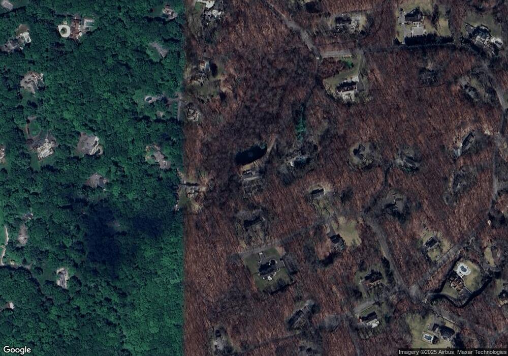
Map
Nearby Homes
- 470 Frogtown Rd Unit Lot 1
- 470 Frogtown Rd Unit Lot 2
- 298 Greenley Rd
- 5 New England Dr
- 474 Ponus Ridge
- 66 Seminary St
- 197 Park St Unit 13
- 19 Thornwood Rd
- 30 Thornwood Rd
- 254 Park St Unit 254
- 317 Park St
- 23 Mead St
- 160 Park St Unit 103
- 160 Park St Unit 104
- 204 Parade Hill Rd
- 202 Weed St
- 136 South Ave
- 42 Forest St Unit A
- 15 Burtis Ave Unit Townhome D
- 15 Burtis Ave Unit West Penthouse B
- 63 Bridle Path Ln
- 98 Dogwood Ln
- 137 Llewellyn Dr
- 76 Dogwood Ln
- 103 Llewellyn Dr
- 97 Dogwood Ln
- 74 Dogwood Ln
- 91 Dogwood Ln
- 140 Llewellyn Dr
- 89 Llewellyn Dr
- 114 Llewellyn Dr
- 73 Bridle Path Ln
- 59 Dogwood Ln
- 100 Winfield Ln
- 87 Llewellyn Dr
- 46 Dogwood Ln
- 37 Carriage Ln
- 98 Winfield Ln
- 87 Arrowhead Trail
- 54 Bridle Path Ln