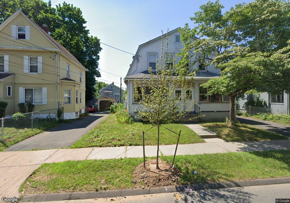
61 Burnham St Unit 63 Hartford, CT 06112
Blue Hills NeighborhoodEstimated Value: $238,812 - $419,000
4
Beds
2
Baths
2,557
Sq Ft
$136/Sq Ft
Est. Value
About This Home
This home is located at 61 Burnham St Unit 63, Hartford, CT 06112 and is currently estimated at $348,453, approximately $136 per square foot. 61 Burnham St Unit 63 is a home located in Hartford County with nearby schools including Rawson School, Breakthrough Magnet School - North Campus, and West Middle School.
Ownership History
Date
Name
Owned For
Owner Type
Purchase Details
Closed on
Dec 29, 2004
Sold by
Buy This Home Inc
Bought by
Watson Cecil
Current Estimated Value
Purchase Details
Closed on
Jul 12, 2004
Sold by
Lamberton Frances
Bought by
Buy This Home Inc
Create a Home Valuation Report for This Property
The Home Valuation Report is an in-depth analysis detailing your home's value as well as a comparison with similar homes in the area
Home Values in the Area
Average Home Value in this Area
Purchase History
| Date | Buyer | Sale Price | Title Company |
|---|---|---|---|
| Watson Cecil | $180,000 | -- | |
| Buy This Home Inc | $74,000 | -- |
Source: Public Records
Mortgage History
| Date | Status | Borrower | Loan Amount |
|---|---|---|---|
| Open | Buy This Home Inc | $202,455 | |
| Closed | Buy This Home Inc | $209,605 | |
| Closed | Buy This Home Inc | $183,000 |
Source: Public Records
Tax History Compared to Growth
Tax History
| Year | Tax Paid | Tax Assessment Tax Assessment Total Assessment is a certain percentage of the fair market value that is determined by local assessors to be the total taxable value of land and additions on the property. | Land | Improvement |
|---|---|---|---|---|
| 2025 | $6,700 | $97,167 | $5,880 | $91,287 |
| 2024 | $6,700 | $97,167 | $5,880 | $91,287 |
| 2023 | $6,700 | $97,167 | $5,880 | $91,287 |
| 2022 | $6,700 | $97,167 | $5,880 | $91,287 |
| 2021 | $4,514 | $60,760 | $6,930 | $53,830 |
| 2020 | $4,514 | $60,760 | $6,930 | $53,830 |
| 2019 | $4,514 | $60,760 | $6,930 | $53,830 |
| 2018 | $4,362 | $58,712 | $6,697 | $52,015 |
| 2016 | $4,070 | $54,789 | $6,377 | $48,412 |
| 2015 | $3,877 | $52,187 | $6,075 | $46,112 |
| 2014 | $3,782 | $50,911 | $5,926 | $44,985 |
Source: Public Records
Map
Nearby Homes
- 70 Burnham St Unit 72
- 125 Lebanon St Unit 127
- 11 Pershing St Unit 13
- 86 Hartland St
- 152 Burnham St
- 147 Morningside St W
- 10 Baltic St Unit 12
- 180 Brookline Ave
- 36 Baltic St Unit 38
- 90 Manchester St
- 97 E Burnham St
- 355 Cornwall St Unit 357
- 97 Boothbay St
- 171 N Canaan St
- 67 Elizabeth Ave
- 179 Manchester St
- 52 Greenwood Ave
- 117 E Harold St
- 117 E Pershing St
- 175 E Pershing St
- 57 Burnham St
- 65 Burnham St Unit 67
- 53 Burnham St Unit 55
- 66 Burnham St Unit 68
- 51 Burnham St
- 71 Burnham St
- 62 Burnham St Unit 64
- 58 Burnham St
- 66 Harold St
- 54 Burnham St
- 58 Harold St
- 47 Burnham St
- 5 Cornell St
- 70 Harold St
- 75 Burnham St
- 60 Harold St Unit 62
- 54 Harold St
- 76 Burnham St
- 43 Burnham St
- 79 Burnham St