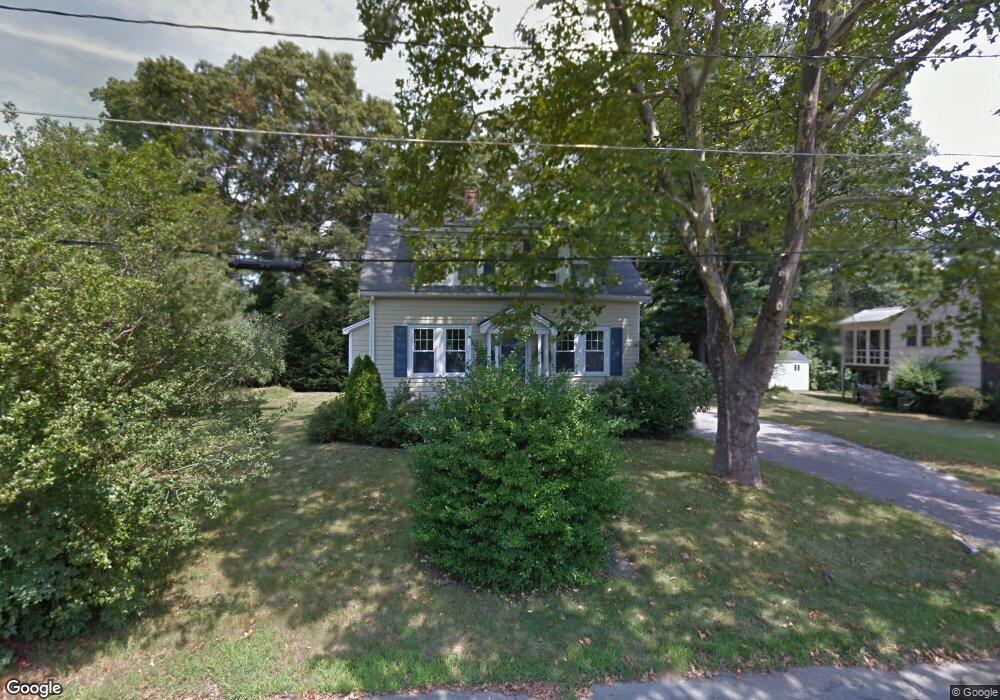
61 Campbell St Mansfield, MA 02048
Estimated Value: $557,000 - $760,000
3
Beds
2
Baths
1,300
Sq Ft
$530/Sq Ft
Est. Value
About This Home
This home is located at 61 Campbell St, Mansfield, MA 02048 and is currently estimated at $688,730, approximately $529 per square foot. 61 Campbell St is a home located in Bristol County with nearby schools including Everett W. Robinson Elementary School, Jordan/Jackson Elementary School, and Harold L. Qualters Middle School.
Ownership History
Date
Name
Owned For
Owner Type
Purchase Details
Closed on
Jul 22, 2005
Sold by
Bruno David W and Bruno Caroline
Bought by
Kuplast Peter G and Kuplast Margaret J
Current Estimated Value
Home Financials for this Owner
Home Financials are based on the most recent Mortgage that was taken out on this home.
Original Mortgage
$341,000
Outstanding Balance
$177,200
Interest Rate
5.59%
Mortgage Type
Purchase Money Mortgage
Estimated Equity
$511,530
Purchase Details
Closed on
Feb 8, 2002
Sold by
Musto Alphonse L and Musto James H
Bought by
Bruno David W and Bruno Caroline M
Home Financials for this Owner
Home Financials are based on the most recent Mortgage that was taken out on this home.
Original Mortgage
$174,300
Interest Rate
7.13%
Mortgage Type
Purchase Money Mortgage
Create a Home Valuation Report for This Property
The Home Valuation Report is an in-depth analysis detailing your home's value as well as a comparison with similar homes in the area
Home Values in the Area
Average Home Value in this Area
Purchase History
| Date | Buyer | Sale Price | Title Company |
|---|---|---|---|
| Kuplast Peter G | $341,000 | -- | |
| Bruno David W | $217,900 | -- |
Source: Public Records
Mortgage History
| Date | Status | Borrower | Loan Amount |
|---|---|---|---|
| Open | Kuplast Peter G | $341,000 | |
| Previous Owner | Bruno David W | $199,000 | |
| Previous Owner | Bruno David W | $174,300 | |
| Previous Owner | Bruno David W | $21,800 |
Source: Public Records
Tax History Compared to Growth
Tax History
| Year | Tax Paid | Tax Assessment Tax Assessment Total Assessment is a certain percentage of the fair market value that is determined by local assessors to be the total taxable value of land and additions on the property. | Land | Improvement |
|---|---|---|---|---|
| 2025 | $8,944 | $679,100 | $227,000 | $452,100 |
| 2024 | $8,988 | $665,800 | $227,000 | $438,800 |
| 2023 | $8,592 | $609,800 | $227,000 | $382,800 |
| 2022 | $8,463 | $557,900 | $210,200 | $347,700 |
| 2021 | $4,249 | $480,900 | $183,900 | $297,000 |
| 2020 | $6,666 | $434,000 | $175,100 | $258,900 |
| 2019 | $4,759 | $298,200 | $146,000 | $152,200 |
| 2018 | $3,852 | $284,600 | $139,100 | $145,500 |
| 2017 | $4,813 | $277,900 | $135,100 | $142,800 |
| 2016 | $3,957 | $256,800 | $128,700 | $128,100 |
| 2015 | $3,815 | $246,100 | $128,700 | $117,400 |
Source: Public Records
Map
Nearby Homes
- 450 West St
- 150 Rumford Ave Unit 222
- 241-243 N Main St
- 22 Pleasant St Unit B
- 22 Pleasant St Unit A
- 28 Court St
- 28 Court St Unit 4
- 38 Court St
- 16 East St Unit 2
- 21 East St Unit 1D
- 132 S High St
- 76 Samoset Ave
- 72 Court St Unit B
- 356 Central St
- 99 Pleasant St
- 60 King St
- 12 Wilson Place
- 82 Brook St
- 115 S High St
- 16 Bradner St
- 55 Campbell St
- 71 Campbell St
- 58 Campbell St
- 64 Campbell St
- 51 Campbell St
- 54 Campbell St
- 52 Henry St
- 62 Creeden St
- 68 Campbell St
- 73 Campbell St
- 56 Henry St
- 41 Campbell St
- 68 Creeden St
- 56 Creeden St
- 71 Fowler St Unit 73
- 50 Creeden St
- 46 Henry St
- 72 Creeden St
- 67 Fowler St Unit 69
- 67 Fowler St Unit 69