61 Catbrier Rd Weston, CT 06883
Estimated Value: $1,244,000 - $1,390,000
4
Beds
4
Baths
3,328
Sq Ft
$397/Sq Ft
Est. Value
About This Home
This home is located at 61 Catbrier Rd, Weston, CT 06883 and is currently estimated at $1,322,784, approximately $397 per square foot. 61 Catbrier Rd is a home located in Fairfield County with nearby schools including Hurlbutt Elementary School, Weston Intermediate School, and Weston Middle School.
Ownership History
Date
Name
Owned For
Owner Type
Purchase Details
Closed on
Aug 24, 1994
Sold by
Bratrude Claudia
Bought by
Ottomano Kristine
Current Estimated Value
Purchase Details
Closed on
Aug 5, 1991
Sold by
Regnier James and Regnier Laura
Bought by
Bratude Claudia and Mcknight Richard
Purchase Details
Closed on
Feb 14, 1990
Sold by
Minet International
Bought by
Regnier James
Create a Home Valuation Report for This Property
The Home Valuation Report is an in-depth analysis detailing your home's value as well as a comparison with similar homes in the area
Home Values in the Area
Average Home Value in this Area
Purchase History
We collect this data history from publicly available records. To have your information removed, we recommend requesting removal directly through your county’s website.
| Date | Buyer | Sale Price | Title Company |
|---|---|---|---|
| Ottomano Kristine | $548,000 | -- | |
| Bratude Claudia | $515,000 | -- | |
| Regnier James | $485,000 | -- |
Source: Public Records
Mortgage History
We collect this data history from publicly available records. To have your information removed, we recommend requesting removal directly through your county’s website.
| Date | Status | Borrower | Loan Amount |
|---|---|---|---|
| Open | Regnier James | $200,000 | |
| Closed | Regnier James | $235,000 |
Source: Public Records
Tax History
| Year | Tax Paid | Tax Assessment Tax Assessment Total Assessment is a certain percentage of the fair market value that is determined by local assessors to be the total taxable value of land and additions on the property. | Land | Improvement |
|---|---|---|---|---|
| 2025 | $18,376 | $768,880 | $240,100 | $528,780 |
| 2024 | $18,046 | $768,880 | $240,100 | $528,780 |
| 2023 | $18,119 | $548,050 | $240,100 | $307,950 |
| 2022 | $18,069 | $548,050 | $240,100 | $307,950 |
| 2021 | $18,042 | $548,050 | $240,100 | $307,950 |
| 2020 | $17,740 | $548,050 | $240,100 | $307,950 |
| 2019 | $17,740 | $548,050 | $240,100 | $307,950 |
| 2018 | $16,849 | $573,300 | $262,800 | $310,500 |
| 2017 | $16,574 | $573,300 | $262,800 | $310,500 |
| 2016 | $16,373 | $573,300 | $262,800 | $310,500 |
| 2015 | $16,437 | $573,300 | $262,800 | $310,500 |
| 2014 | $16,190 | $573,300 | $262,800 | $310,500 |
Source: Public Records
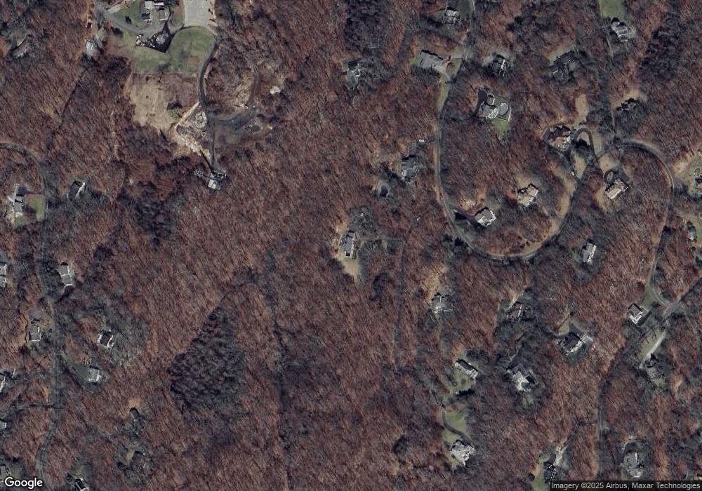
Map
Nearby Homes
- 9 Pepperbush Rd
- 30 Catbrier Rd
- 17 Richmond Hill Rd
- 180 Davis Hill Rd
- 22 Hill Farm Rd
- 166 Godfrey Rd E
- 9 Patchen Ln
- 129 Davis Hill Rd
- 41 Singing Oaks Dr
- 198 Steep Hill Rd
- 6 Winthrop Hills
- 52 Valley Forge Rd
- 21 Laurel Lake E
- 27 Hackberry Hill Rd
- 23 Old Stage Coach Rd
- 7 Birch Hill Rd
- 76 Lords Hwy
- 34 Laurel Lake W
- 290 Lyons Plain Rd
- 10 Pheasant Hill Rd
- 57 Catbrier Rd
- 65 Catbrier Rd
- 62 Catbrier Rd
- 63 Catbrier Rd
- 45 Catbrier Rd
- 75 Catbrier Rd
- 72 Catbrier Rd
- 54 Catbrier Rd
- 49 Catbrier Rd
- 77 Catbrier Rd
- 50 Catbrier Rd
- 78 Catbrier Rd
- 67 Catbrier Rd
- 83 Catbrier Rd
- 79 Catbrier Rd
- 28 Ravenwood Dr
- 89 Catbrier Rd
- 32 Ravenwood Dr
- 80 Catbrier Rd
- 14 Ravenwood Dr
Your Personal Tour Guide
Ask me questions while you tour the home.