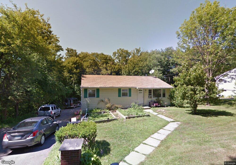
61 Chestnut Hill Rd Wolcott, CT 06716
Estimated Value: $320,107 - $388,000
3
Beds
2
Baths
1,359
Sq Ft
$258/Sq Ft
Est. Value
About This Home
This home is located at 61 Chestnut Hill Rd, Wolcott, CT 06716 and is currently estimated at $350,027, approximately $257 per square foot. 61 Chestnut Hill Rd is a home located in New Haven County with nearby schools including Tyrrell Middle School and Wolcott High School.
Ownership History
Date
Name
Owned For
Owner Type
Purchase Details
Closed on
Aug 7, 1998
Sold by
Grish Daniel G
Bought by
Allaire James M and Laukaitis Joanne S
Current Estimated Value
Purchase Details
Closed on
Jan 9, 1989
Sold by
Walker Colin
Bought by
Grish Daniel G
Purchase Details
Closed on
Jul 7, 1987
Sold by
Kessler Michael J
Bought by
Walker Colin F
Create a Home Valuation Report for This Property
The Home Valuation Report is an in-depth analysis detailing your home's value as well as a comparison with similar homes in the area
Home Values in the Area
Average Home Value in this Area
Purchase History
| Date | Buyer | Sale Price | Title Company |
|---|---|---|---|
| Allaire James M | $110,500 | -- | |
| Grish Daniel G | $126,200 | -- | |
| Walker Colin F | $133,500 | -- |
Source: Public Records
Mortgage History
| Date | Status | Borrower | Loan Amount |
|---|---|---|---|
| Closed | Walker Colin F | $47,700 | |
| Open | Walker Colin F | $126,097 | |
| Closed | Walker Colin F | $16,700 |
Source: Public Records
Tax History
| Year | Tax Paid | Tax Assessment Tax Assessment Total Assessment is a certain percentage of the fair market value that is determined by local assessors to be the total taxable value of land and additions on the property. | Land | Improvement |
|---|---|---|---|---|
| 2025 | $5,709 | $158,900 | $43,990 | $114,910 |
| 2024 | $5,255 | $158,900 | $43,990 | $114,910 |
| 2023 | $5,064 | $158,900 | $43,990 | $114,910 |
| 2022 | $4,894 | $158,900 | $43,990 | $114,910 |
| 2021 | $4,599 | $138,770 | $41,640 | $97,130 |
| 2020 | $4,599 | $138,770 | $41,640 | $97,130 |
| 2019 | $4,599 | $138,770 | $41,640 | $97,130 |
| 2018 | $4,468 | $138,770 | $41,640 | $97,130 |
| 2017 | $4,007 | $128,150 | $41,640 | $86,510 |
| 2016 | $3,714 | $128,460 | $42,590 | $85,870 |
| 2015 | $3,607 | $128,460 | $42,590 | $85,870 |
| 2014 | $3,490 | $128,460 | $42,590 | $85,870 |
Source: Public Records
Map
Nearby Homes
- 52 Chestnut Hill Rd
- 0 Montoe Rd
- 20 Randall Place
- 9 Pembroke Hill Rd
- 416 Chestnut Hill Ave
- 24 Granada Dr
- 22 Pembroke Hill Rd
- 8 Oakengate Rd
- 128 Lyman Rd Unit 24
- 0 Spindle Hill Rd Unit 24062265
- 16 Oakengate Rd
- 18 Sheraton Dr
- 75 Forestview Dr
- 99 Hickory Ln
- 2603 N Main St
- 40 Running Brook Dr
- 19 Running Brook Dr
- 135 Bucks Hill Rd Unit 10
- 24 Blueridge Dr Unit K12
- 17 Forestview Dr
- 57 Chestnut Hill Rd
- 60 Chestnut Hill Rd
- Lot 1 Chestnut Hill Rd
- 67 Chestnut Hill Rd
- 60 Chestnut Hill Rd
- 71 Chestnut Hill Rd
- 50 Chestnut Hill Rd
- LOT 5B Chestnut Hill Rd
- 75 Chestnut Hill Rd
- 74 Chestnut Hill Rd
- 80 Chestnut Hill Rd
- 47 Pond Dr
- 83 Chestnut Hill Rd
- 90 Chestnut Hill Rd
- 91 Chestnut Hill Rd
- 35 Pond Dr
- 48 Pond Dr
- 42 Pond Dr
- 36 Pond Dr
- 21 Pond Dr
Your Personal Tour Guide
Ask me questions while you tour the home.