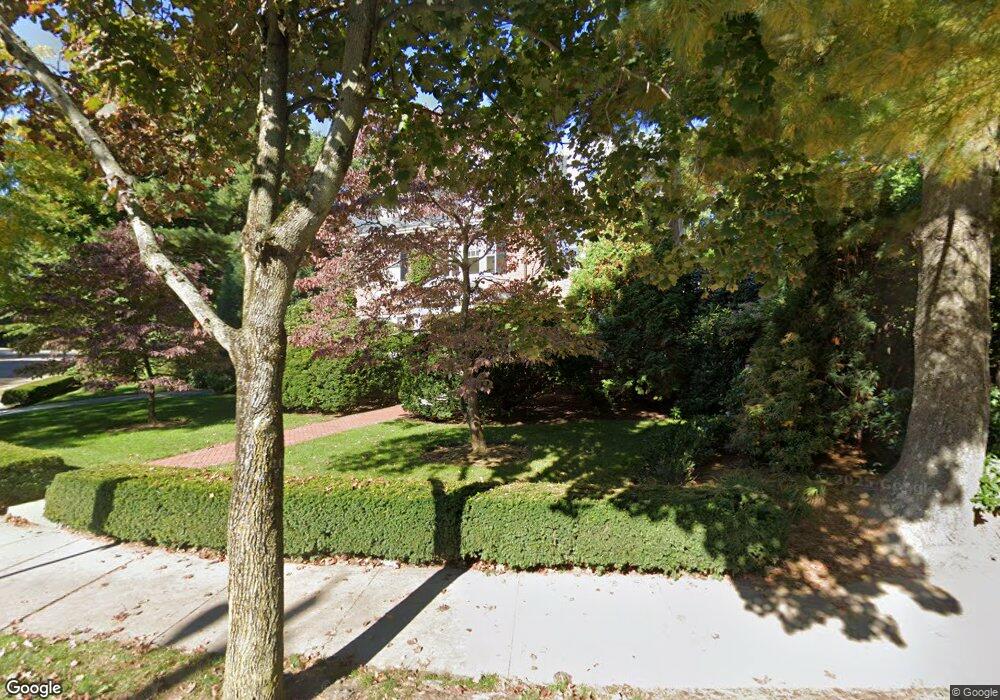
61 Dean Rd Brookline, MA 02445
Cleveland Circle NeighborhoodEstimated Value: $2,626,000 - $3,429,472
4
Beds
5
Baths
3,586
Sq Ft
$847/Sq Ft
Est. Value
About This Home
This home is located at 61 Dean Rd, Brookline, MA 02445 and is currently estimated at $3,037,868, approximately $847 per square foot. 61 Dean Rd is a home located in Norfolk County with nearby schools including John D. Runkle School, Brookline High School, and Torah Academy.
Ownership History
Date
Name
Owned For
Owner Type
Purchase Details
Closed on
Jun 25, 2002
Sold by
Kuttner Robert
Bought by
Altshuler David M and Altshuler Jill S
Current Estimated Value
Home Financials for this Owner
Home Financials are based on the most recent Mortgage that was taken out on this home.
Original Mortgage
$851,900
Outstanding Balance
$363,697
Interest Rate
6.81%
Mortgage Type
Purchase Money Mortgage
Estimated Equity
$2,674,171
Create a Home Valuation Report for This Property
The Home Valuation Report is an in-depth analysis detailing your home's value as well as a comparison with similar homes in the area
Home Values in the Area
Average Home Value in this Area
Purchase History
| Date | Buyer | Sale Price | Title Company |
|---|---|---|---|
| Altshuler David M | $1,217,000 | -- |
Source: Public Records
Mortgage History
| Date | Status | Borrower | Loan Amount |
|---|---|---|---|
| Open | Altshuler David M | $851,900 |
Source: Public Records
Tax History
| Year | Tax Paid | Tax Assessment Tax Assessment Total Assessment is a certain percentage of the fair market value that is determined by local assessors to be the total taxable value of land and additions on the property. | Land | Improvement |
|---|---|---|---|---|
| 2025 | $32,437 | $3,286,400 | $1,704,700 | $1,581,700 |
| 2024 | $30,917 | $3,164,500 | $1,639,100 | $1,525,400 |
| 2023 | $26,290 | $2,636,900 | $1,171,100 | $1,465,800 |
| 2022 | $25,590 | $2,511,300 | $1,115,300 | $1,396,000 |
| 2021 | $23,664 | $2,414,700 | $1,072,400 | $1,342,300 |
| 2020 | $21,731 | $2,299,600 | $974,900 | $1,324,700 |
| 2019 | $20,521 | $2,190,100 | $928,500 | $1,261,600 |
| 2018 | $19,397 | $2,050,400 | $894,800 | $1,155,600 |
| 2017 | $19,110 | $1,934,200 | $844,000 | $1,090,200 |
| 2016 | $18,836 | $1,807,700 | $788,800 | $1,018,900 |
| 2015 | $18,043 | $1,689,400 | $737,200 | $952,200 |
| 2014 | $18,896 | $1,659,000 | $678,000 | $981,000 |
Source: Public Records
Map
Nearby Homes
- 189 Clinton Rd
- 135 Beaconsfield Rd Unit 2
- 43 Druce St
- 282 Buckminster Rd
- 1731 Beacon St Unit 114
- 1731 Beacon St Unit 1210
- 1731 Beacon St Unit 203
- 1731 Beacon St Unit 4
- 1731 Beacon St Unit 721
- 1778 Beacon St Unit 302
- 324 Tappan St Unit 2
- 4 7 Englewood Ave
- 34 Hyslop Rd
- 1874 Beacon St Unit 4
- 22 Windsor Rd
- 355 Buckminster Rd
- 37 Englewood Ave Unit 3
- 114 Evans Rd Unit 5
- 47 Englewood Ave
- 155 Kilsyth Rd
Your Personal Tour Guide
Ask me questions while you tour the home.