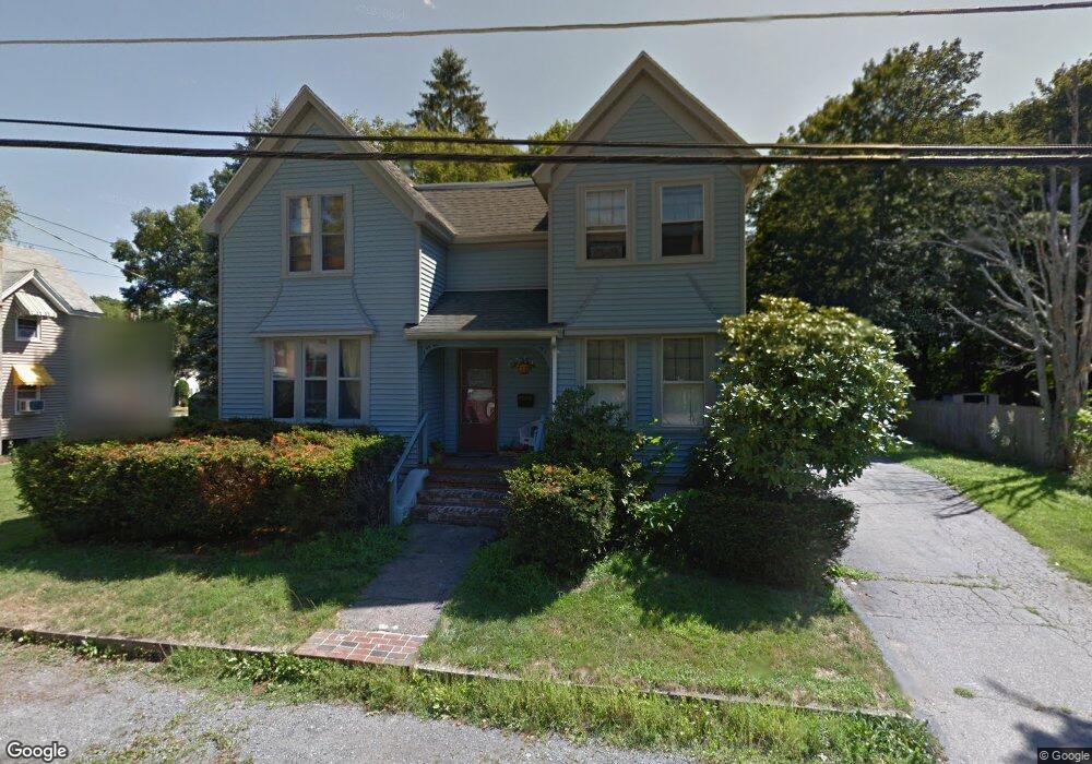
61 Draper Ave Unit 1 Mansfield, MA 02048
Estimated Value: $624,000 - $756,000
4
Beds
2
Baths
2,232
Sq Ft
$301/Sq Ft
Est. Value
About This Home
This home is located at 61 Draper Ave Unit 1, Mansfield, MA 02048 and is currently estimated at $671,001, approximately $300 per square foot. 61 Draper Ave Unit 1 is a home located in Bristol County with nearby schools including Everett W. Robinson Elementary School, Jordan/Jackson Elementary School, and Harold L. Qualters Middle School.
Ownership History
Date
Name
Owned For
Owner Type
Purchase Details
Closed on
Jan 31, 2014
Sold by
Belcher-Smit Nancy M
Bought by
Horman Robert D
Current Estimated Value
Home Financials for this Owner
Home Financials are based on the most recent Mortgage that was taken out on this home.
Original Mortgage
$184,000
Outstanding Balance
$137,223
Interest Rate
4%
Mortgage Type
Adjustable Rate Mortgage/ARM
Estimated Equity
$533,778
Purchase Details
Closed on
Mar 27, 1996
Sold by
Hardy Philip M and Hardy Patricia M
Bought by
Belcher-Smith Nancy M
Create a Home Valuation Report for This Property
The Home Valuation Report is an in-depth analysis detailing your home's value as well as a comparison with similar homes in the area
Home Values in the Area
Average Home Value in this Area
Purchase History
| Date | Buyer | Sale Price | Title Company |
|---|---|---|---|
| Horman Robert D | $230,000 | -- | |
| Belcher-Smith Nancy M | $134,000 | -- |
Source: Public Records
Mortgage History
| Date | Status | Borrower | Loan Amount |
|---|---|---|---|
| Open | Belcher-Smith Nancy M | $184,000 | |
| Closed | Belcher-Smith Nancy M | $23,000 | |
| Previous Owner | Belcher-Smith Nancy M | $90,000 |
Source: Public Records
Tax History
| Year | Tax Paid | Tax Assessment Tax Assessment Total Assessment is a certain percentage of the fair market value that is determined by local assessors to be the total taxable value of land and additions on the property. | Land | Improvement |
|---|---|---|---|---|
| 2025 | $6,867 | $521,400 | $199,000 | $322,400 |
| 2024 | $6,907 | $511,600 | $199,000 | $312,600 |
| 2023 | $6,632 | $470,700 | $199,000 | $271,700 |
| 2022 | $6,537 | $430,900 | $184,300 | $246,600 |
| 2021 | $6,187 | $402,800 | $170,600 | $232,200 |
| 2020 | $5,737 | $373,500 | $170,600 | $202,900 |
| 2019 | $5,639 | $370,500 | $142,200 | $228,300 |
| 2018 | $5,406 | $347,200 | $128,700 | $218,500 |
| 2017 | $5,101 | $339,600 | $125,000 | $214,600 |
| 2016 | $4,908 | $318,500 | $125,300 | $193,200 |
| 2015 | $4,597 | $296,600 | $119,000 | $177,600 |
Source: Public Records
Map
Nearby Homes
- 166 Chauncy St
- 150 Rumford Ave Unit 110
- 22 Pleasant St Unit B
- 25 Kingman Ave
- 266 N Main St Unit 3
- 619 N Main St
- 28 Court St
- 356 Central St
- 122 Samoset Ave
- 44 Fairfield Park Unit 44
- 46 Hope St
- 97 East St
- 1769 West St
- 233 Central St
- 631 East St Unit L101
- 7 Fieldstone Dr
- 1 Deer Path Ln
- 157 Central St
- 261 East St
- 155 South St
- 61 Draper Ave
- 61 Draper Ave
- 55 Draper Ave
- 67 Draper Ave
- 47 Howe St
- 49 Draper Ave
- 56 Draper Ave
- 66 Draper Ave
- 73 Draper Ave Unit 75
- 48 Draper Ave
- 18 Howe St
- 41 Draper Ave Unit 43
- 77 Draper Ave
- 42 Draper Ave
- 51 Highland Ave Unit 53
- 59 Highland Ave
- 22 Howe St
- 40 Draper Ave
- 39 Draper Ave
- 43 Highland Ave
Your Personal Tour Guide
Ask me questions while you tour the home.