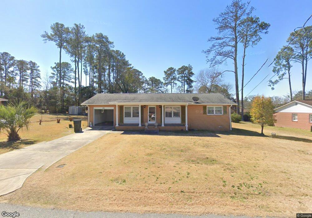
61 Duncan St Fort Valley, GA 31030
Estimated Value: $94,833 - $140,000
3
Beds
2
Baths
1,276
Sq Ft
$94/Sq Ft
Est. Value
About This Home
This home is located at 61 Duncan St, Fort Valley, GA 31030 and is currently estimated at $119,708, approximately $93 per square foot. 61 Duncan St is a home located in Peach County with nearby schools including Hunt Elementary School, Fort Valley Middle School, and Peach County High School.
Ownership History
Date
Name
Owned For
Owner Type
Purchase Details
Closed on
Jul 5, 2022
Sold by
Norwood Barbara
Bought by
Fluellen Alexis and Fluellen Meaza
Current Estimated Value
Purchase Details
Closed on
Oct 1, 2008
Sold by
Obryant Andrea M
Bought by
Norwood Barbara B
Purchase Details
Closed on
Jan 22, 2008
Sold by
O'Bryant Andrea Michelle
Bought by
Norwood Barbara B
Purchase Details
Closed on
May 24, 1999
Sold by
Fluellen Meaza S
Bought by
Hollinshed Andrea M
Purchase Details
Closed on
Feb 20, 1996
Bought by
Fluellen Meaza S
Purchase Details
Closed on
Feb 10, 1990
Bought by
Norwood Barbara B
Purchase Details
Closed on
Jul 11, 1985
Bought by
Golphin Andrea Michelle
Purchase Details
Closed on
Jul 31, 1984
Bought by
Norwood Barabara G
Create a Home Valuation Report for This Property
The Home Valuation Report is an in-depth analysis detailing your home's value as well as a comparison with similar homes in the area
Home Values in the Area
Average Home Value in this Area
Purchase History
| Date | Buyer | Sale Price | Title Company |
|---|---|---|---|
| Fluellen Alexis | $53,500 | -- | |
| Norwood Barbara B | $75,000 | -- | |
| Norwood Barbara B | -- | -- | |
| Hollinshed Andrea M | -- | -- | |
| Fluellen Meaza S | -- | -- | |
| Norwood Barbara B | $20,300 | -- | |
| Golphin Andrea Michelle | -- | -- | |
| Norwood Barabara G | -- | -- |
Source: Public Records
Tax History Compared to Growth
Tax History
| Year | Tax Paid | Tax Assessment Tax Assessment Total Assessment is a certain percentage of the fair market value that is determined by local assessors to be the total taxable value of land and additions on the property. | Land | Improvement |
|---|---|---|---|---|
| 2024 | $1,041 | $31,360 | $2,680 | $28,680 |
| 2023 | $775 | $27,840 | $2,600 | $25,240 |
| 2022 | $780 | $21,400 | $2,101 | $19,299 |
| 2021 | $872 | $21,400 | $2,560 | $18,840 |
| 2020 | $1,042 | $26,840 | $3,960 | $22,880 |
| 2019 | $1,046 | $26,840 | $3,960 | $22,880 |
| 2018 | $1,050 | $26,840 | $3,960 | $22,880 |
| 2017 | $1,055 | $26,840 | $3,960 | $22,880 |
| 2016 | $582 | $29,960 | $3,960 | $26,000 |
| 2015 | $582 | $29,960 | $3,960 | $26,000 |
| 2014 | $1,154 | $30,000 | $3,960 | $26,040 |
| 2013 | -- | $30,000 | $3,960 | $26,040 |
Source: Public Records
Map
Nearby Homes
- 177 S Jones St
- 47 King St
- 404 Benjamin St
- 57 Kemp St
- 108 Benjamin St
- 202 Charlevoix St
- 191 Daniel Dr
- 302 Fagan Cir
- 207 Carver Dr
- 1011 Pine St
- 735 River Rd
- 1105 River Rd
- 712 Courtland Ave
- 710 Pine St
- 210 Perry Railroad St
- 705 Princess Ave
- 0 Spillers St Unit 254475
- 0 Spillers St Unit 10560049
- 708 Princess Ave
- 403 Spruce St