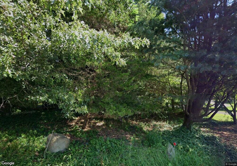
61 E Meadow Rd Wilton, CT 06897
Estimated Value: $2,038,290 - $2,282,000
4
Beds
5
Baths
4,975
Sq Ft
$445/Sq Ft
Est. Value
About This Home
This home is located at 61 E Meadow Rd, Wilton, CT 06897 and is currently estimated at $2,213,073, approximately $444 per square foot. 61 E Meadow Rd is a home located in Fairfield County with nearby schools including Miller-Driscoll School, Cider Mill School, and Middlebrook School.
Ownership History
Date
Name
Owned For
Owner Type
Purchase Details
Closed on
Feb 13, 2019
Sold by
Healey Gregg P
Bought by
Us Bank Na Tr
Current Estimated Value
Purchase Details
Closed on
Mar 29, 2001
Sold by
Spraet Const
Bought by
Healey Gregg and Healey Bridgette
Create a Home Valuation Report for This Property
The Home Valuation Report is an in-depth analysis detailing your home's value as well as a comparison with similar homes in the area
Home Values in the Area
Average Home Value in this Area
Purchase History
| Date | Buyer | Sale Price | Title Company |
|---|---|---|---|
| Us Bank Na Tr | -- | -- | |
| Healey Gregg | $1,420,000 | -- |
Source: Public Records
Mortgage History
| Date | Status | Borrower | Loan Amount |
|---|---|---|---|
| Previous Owner | Healey Gregg | $400,000 | |
| Previous Owner | Healey Gregg | $998,000 | |
| Previous Owner | Healey Gregg | $995,000 | |
| Previous Owner | Healey Gregg | $995,000 |
Source: Public Records
Tax History Compared to Growth
Tax History
| Year | Tax Paid | Tax Assessment Tax Assessment Total Assessment is a certain percentage of the fair market value that is determined by local assessors to be the total taxable value of land and additions on the property. | Land | Improvement |
|---|---|---|---|---|
| 2025 | $29,345 | $1,202,180 | $340,130 | $862,050 |
| 2024 | $28,780 | $1,202,180 | $340,130 | $862,050 |
| 2023 | $26,174 | $894,530 | $311,920 | $582,610 |
| 2022 | $25,253 | $894,530 | $311,920 | $582,610 |
| 2021 | $24,931 | $894,530 | $311,920 | $582,610 |
| 2020 | $24,564 | $894,530 | $311,920 | $582,610 |
| 2019 | $25,530 | $894,530 | $311,920 | $582,610 |
| 2018 | $26,442 | $938,000 | $328,230 | $609,770 |
| 2017 | $26,048 | $938,000 | $328,230 | $609,770 |
| 2016 | $25,645 | $938,000 | $328,230 | $609,770 |
| 2015 | $25,167 | $938,000 | $328,230 | $609,770 |
| 2014 | $24,866 | $938,000 | $328,230 | $609,770 |
Source: Public Records
Map
Nearby Homes
- 93 E Meadow Rd
- 4A Newtown Turnpike
- 40 Hermit Ln
- 25 Hermit Ln
- 4 Good Hill Rd
- 30 Cavalry Rd
- 10 Wilton Hunt Rd
- 17 Huckleberry Ln
- 31 Riverfield Dr
- 6 Tulip Tree Ln
- 110 Dudley Rd
- 87 Red Coat Rd
- 32 Kettle Creek Rd
- 29 Grumman Ave
- 81 Norfield Rd
- 10 Twin Falls Ln
- 76 Sturges Ridge Rd
- 28 Village Ct
- 259 Wilton Rd
- 105 Danbury Rd
- 63 E Meadow Rd
- 65 E Meadow Rd
- 47 E Meadow Rd
- 223 Newtown Turnpike
- 12 Woodway Ln
- 211 Newtown Turnpike
- 67 E Meadow Rd
- 237 Newtown Turnpike
- 14 Woodway Ln
- 52 E Meadow Rd
- 40 E Meadow Rd
- 238 Newtown Turnpike
- 238 Newtown Turnpike Unit 999
- 23 E Meadow Rd
- 69 E Meadow Rd
- 66 E Meadow Rd
- 1 Highwood Ln
- 11 Highwood Ln
- 200 Newtown Turnpike
- 236 Newtown Turnpike
