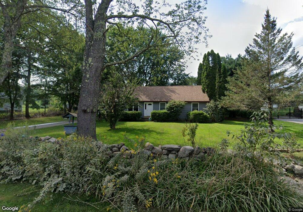
61 Ellis Rd Southbridge, MA 01550
Estimated Value: $341,801 - $375,000
3
Beds
1
Bath
1,008
Sq Ft
$354/Sq Ft
Est. Value
About This Home
This home is located at 61 Ellis Rd, Southbridge, MA 01550 and is currently estimated at $356,700, approximately $353 per square foot. 61 Ellis Rd is a home located in Worcester County with nearby schools including Trinity Catholic Academy and ViewPoint Christian Academy.
Ownership History
Date
Name
Owned For
Owner Type
Purchase Details
Closed on
Oct 29, 1993
Sold by
Knutson Mtg Corp
Bought by
Jordan David P and \Jordan Ellen
Current Estimated Value
Purchase Details
Closed on
Aug 18, 1993
Sold by
Taylor Scott W
Bought by
Federal National Mortgage Association
Create a Home Valuation Report for This Property
The Home Valuation Report is an in-depth analysis detailing your home's value as well as a comparison with similar homes in the area
Home Values in the Area
Average Home Value in this Area
Purchase History
| Date | Buyer | Sale Price | Title Company |
|---|---|---|---|
| Jordan David P | $89,000 | -- | |
| Jordan David P | $89,000 | -- | |
| Federal National Mortgage Association | $98,000 | -- | |
| Federal National Mortgage Association | $98,000 | -- |
Source: Public Records
Mortgage History
| Date | Status | Borrower | Loan Amount |
|---|---|---|---|
| Open | Federal National Mortgage Association | $95,000 | |
| Closed | Federal National Mortgage Association | $24,800 | |
| Closed | Federal National Mortgage Association | $93,000 |
Source: Public Records
Tax History Compared to Growth
Tax History
| Year | Tax Paid | Tax Assessment Tax Assessment Total Assessment is a certain percentage of the fair market value that is determined by local assessors to be the total taxable value of land and additions on the property. | Land | Improvement |
|---|---|---|---|---|
| 2025 | $4,363 | $297,600 | $44,800 | $252,800 |
| 2024 | $3,665 | $240,200 | $37,200 | $203,000 |
| 2023 | $3,518 | $222,100 | $37,200 | $184,900 |
| 2022 | $3,310 | $184,900 | $31,800 | $153,100 |
| 2021 | $3,155 | $162,300 | $31,800 | $130,500 |
| 2020 | $3,021 | $155,100 | $31,800 | $123,300 |
| 2018 | $2,961 | $142,700 | $31,800 | $110,900 |
| 2017 | $2,728 | $132,600 | $31,800 | $100,800 |
| 2016 | $2,589 | $128,100 | $31,800 | $96,300 |
| 2015 | $2,472 | $121,400 | $31,800 | $89,600 |
| 2014 | $2,296 | $116,900 | $31,800 | $85,100 |
Source: Public Records
Map
Nearby Homes
- 298 Torrey Rd
- 796 Charlton St
- 643 Charlton St
- 613 Charlton St
- 9 Piehl Dr
- 876 Worcester St
- 0 Sandersdale Rd
- 412 Charlton St
- Lot 7 Harrington Rd
- 421 Charlton St
- 423 Worcester St
- 0 Blood Rd
- 60 Guelphwood Rd
- 60 Saundersdale Rd
- 79 Fairlawn Ave
- 219 Charlton St
- 10 Harrington Rd
- 97 Worcester St
- 16 Sandersdale Rd
- 7 Pearl St
- 63 Ellis Rd
- 957 Guelphwood Rd
- 0 Ellis Rd
- Lot 8B Ellis Rd
- Lot 8 Ellis St
- 27 Jay Kip Way
- 27 Jay Kip Way
- 901 Guelphwood Rd
- 65 Ellis Rd
- 1001 Guelphwood Rd
- 67 Ellis Rd
- 895 Guelphwood Rd
- 44 Ellis Rd
- 902 Guelphwood Rd
- 75 Ellis Rd
- Lot 1 Denfield & Lot Guelphwood Rd
- 974 Guelphwood Rd
- 893 Guelphwood Rd
- 69 Ellis Rd
- 41 Ellis Rd