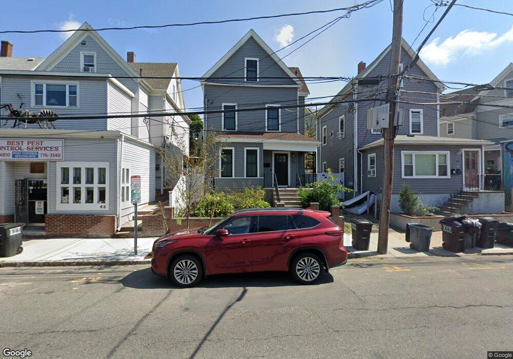
61 Elm St Somerville, MA 02144
Porter Square NeighborhoodEstimated Value: $1,196,000 - $1,559,000
4
Beds
2
Baths
1,652
Sq Ft
$806/Sq Ft
Est. Value
About This Home
This home is located at 61 Elm St, Somerville, MA 02144 and is currently estimated at $1,331,135, approximately $805 per square foot. 61 Elm St is a home located in Middlesex County with nearby schools including Somerville High School, Belmont Day School, and Belmont Hill School.
Ownership History
Date
Name
Owned For
Owner Type
Purchase Details
Closed on
Sep 28, 2021
Sold by
Uasetthaphan Somsak
Bought by
Noyer Chris and Noyer Shannon M
Current Estimated Value
Home Financials for this Owner
Home Financials are based on the most recent Mortgage that was taken out on this home.
Original Mortgage
$958,230
Outstanding Balance
$873,816
Interest Rate
2.8%
Mortgage Type
Purchase Money Mortgage
Estimated Equity
$457,319
Purchase Details
Closed on
Oct 14, 2011
Sold by
Sousa Marie M
Bought by
Uasettaphan Somsak
Home Financials for this Owner
Home Financials are based on the most recent Mortgage that was taken out on this home.
Original Mortgage
$406,600
Interest Rate
4.25%
Mortgage Type
Purchase Money Mortgage
Create a Home Valuation Report for This Property
The Home Valuation Report is an in-depth analysis detailing your home's value as well as a comparison with similar homes in the area
Home Values in the Area
Average Home Value in this Area
Purchase History
| Date | Buyer | Sale Price | Title Company |
|---|---|---|---|
| Noyer Chris | $1,050,000 | None Available | |
| Uasettaphan Somsak | $428,000 | -- |
Source: Public Records
Mortgage History
| Date | Status | Borrower | Loan Amount |
|---|---|---|---|
| Open | Noyer Chris | $958,230 | |
| Previous Owner | Uasettaphan Somsak | $406,600 |
Source: Public Records
Tax History
| Year | Tax Paid | Tax Assessment Tax Assessment Total Assessment is a certain percentage of the fair market value that is determined by local assessors to be the total taxable value of land and additions on the property. | Land | Improvement |
|---|---|---|---|---|
| 2025 | $12,298 | $1,127,200 | $533,900 | $593,300 |
| 2024 | $11,507 | $1,093,800 | $533,900 | $559,900 |
| 2023 | $9,707 | $938,800 | $533,900 | $404,900 |
| 2022 | $8,940 | $878,200 | $508,500 | $369,700 |
| 2021 | $8,409 | $825,200 | $484,300 | $340,900 |
| 2020 | $7,905 | $783,400 | $465,700 | $317,700 |
| 2019 | $7,716 | $717,100 | $404,900 | $312,200 |
| 2018 | $7,292 | $644,700 | $368,100 | $276,600 |
| 2017 | $6,882 | $589,700 | $347,300 | $242,400 |
| 2016 | $6,690 | $533,900 | $317,600 | $216,300 |
Source: Public Records
Map
Nearby Homes
- 20 Mossland St
- 32-40 White St
- 8 Craigie St
- 18 Upland Rd Unit 1
- 3 Arlington St Unit 44
- 49 Cherry St Unit 1
- 35 Ibbetson St
- 10 Beech St Unit 4
- 10 Beech St Unit 1
- 10 Beech St Unit 3
- 46 Mount Vernon St Unit 1
- 7 Beech St Unit 319
- 7 Beech St Unit 317
- 42 Belmont St
- 148 Lowell St Unit 3
- 125 Lowell St Unit 3B
- 125 Lowell St Unit 5C
- 79 Willow Ave
- 24 Cambridge Terrace Unit 2
- 161 Lowell St Unit 1
Your Personal Tour Guide
Ask me questions while you tour the home.