61 Endmoor Rd Westford, MA 01886
Estimated Value: $829,000 - $1,005,000
3
Beds
3
Baths
2,150
Sq Ft
$418/Sq Ft
Est. Value
About This Home
This home is located at 61 Endmoor Rd, Westford, MA 01886 and is currently estimated at $898,128, approximately $417 per square foot. 61 Endmoor Rd is a home located in Middlesex County with nearby schools including Nabnasset Elementary, Abbot Elementary School, and Stony Brook School.
Ownership History
Date
Name
Owned For
Owner Type
Purchase Details
Closed on
May 1, 2008
Sold by
Perreault Claudine P and Perreault Robert J
Bought by
Coster Anthea J
Current Estimated Value
Purchase Details
Closed on
Apr 25, 2005
Sold by
Koehr Matthew J
Bought by
Perreault Claudine P and Perreault Robert J
Purchase Details
Closed on
Mar 31, 2000
Sold by
Johnson Mark S and Houle Shelly S
Bought by
Koehr Matthew J
Purchase Details
Closed on
Jun 30, 1998
Sold by
Est Mccabe Paul M and Casey Carol A
Bought by
Johnson Mark S and Houle Shelly S
Purchase Details
Closed on
Jul 31, 1995
Sold by
Est Callahan Donald Jr and Callahan Scott P
Bought by
Mauro David F and Mauro Marilyn
Create a Home Valuation Report for This Property
The Home Valuation Report is an in-depth analysis detailing your home's value as well as a comparison with similar homes in the area
Home Values in the Area
Average Home Value in this Area
Purchase History
| Date | Buyer | Sale Price | Title Company |
|---|---|---|---|
| Coster Anthea J | $510,000 | -- | |
| Perreault Claudine P | -- | -- | |
| Koehr Matthew J | $275,000 | -- | |
| Johnson Mark S | $103,000 | -- | |
| Mauro David F | $135,000 | -- |
Source: Public Records
Mortgage History
| Date | Status | Borrower | Loan Amount |
|---|---|---|---|
| Open | Mauro David F | $64,000 | |
| Open | Mauro David F | $380,000 |
Source: Public Records
Tax History Compared to Growth
Tax History
| Year | Tax Paid | Tax Assessment Tax Assessment Total Assessment is a certain percentage of the fair market value that is determined by local assessors to be the total taxable value of land and additions on the property. | Land | Improvement |
|---|---|---|---|---|
| 2025 | $10,518 | $763,800 | $407,900 | $355,900 |
| 2024 | $10,518 | $763,800 | $407,900 | $355,900 |
| 2023 | $10,369 | $702,500 | $388,600 | $313,900 |
| 2022 | $10,183 | $631,700 | $316,000 | $315,700 |
| 2021 | $0 | $569,500 | $316,000 | $253,500 |
| 2020 | $24,035 | $571,000 | $316,000 | $255,000 |
| 2019 | $9,022 | $544,800 | $316,000 | $228,800 |
| 2018 | $31,751 | $531,100 | $302,300 | $228,800 |
| 2017 | $8,766 | $534,200 | $322,500 | $211,700 |
| 2016 | $8,429 | $517,100 | $304,000 | $213,100 |
| 2015 | $7,907 | $486,900 | $272,600 | $214,300 |
| 2014 | $7,799 | $469,800 | $261,800 | $208,000 |
Source: Public Records
Map
Nearby Homes
- 55 Lawson Rd
- 3 Loon Way
- 8 Loon Way
- 36 Elm Rd
- 5 Fawn Rd
- 427 Groton Rd
- 2 Alder Point Unit 2
- 16 Shipley Cir
- 3 Blue Heron Dr
- 10 Gassett Rd
- 24 Dunstable Rd
- 6 Lady Constance Way
- 6 Lady Constance Way Unit 21
- 1 Appian Way
- 4 Lady Constance Way Unit 20
- Williamstown Plan at Wendell Place
- Copley Plan at Wendell Place
- 2 Lady Constance Way Unit 19
- 2 Wendell Place Unit 1
- 6 Plain Rd
- 0 Lake Shore Dr S
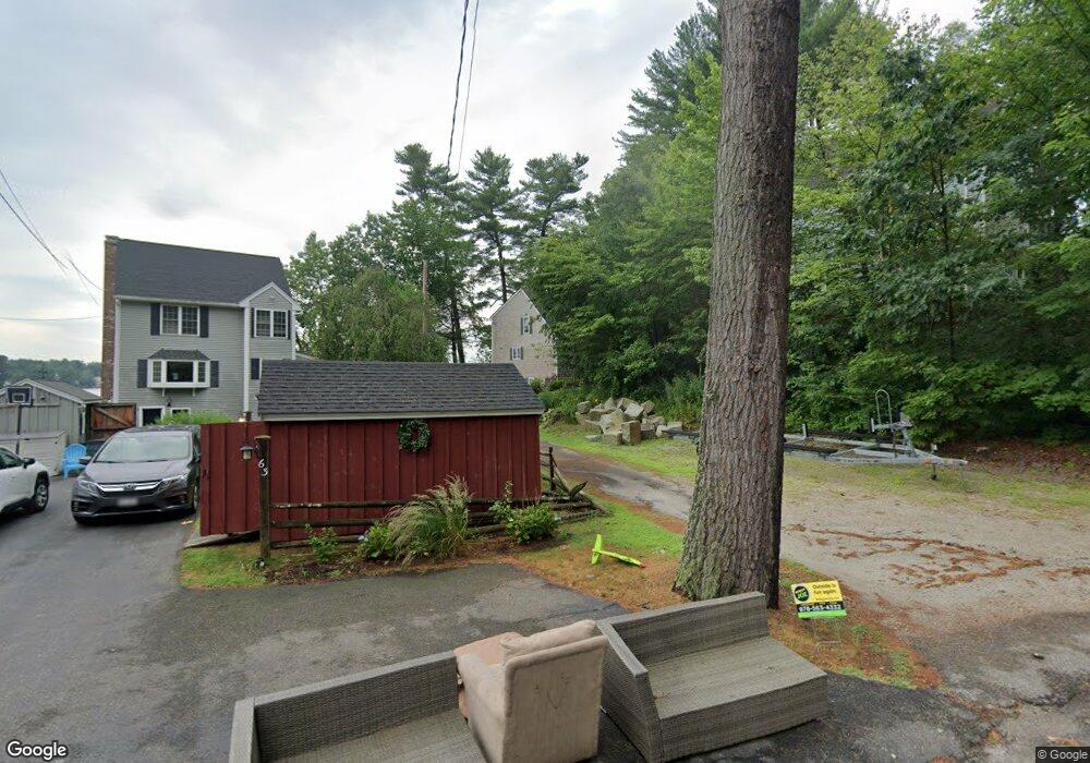
- 63 Endmoor Rd
- 57 Endmoor Rd
- 2 Lake Shore Dr S
- 65 Endmoor Rd
- 1 Lake Shore Dr S
- 4 Lake Shore Dr S Unit 6
- 4 Lake Shore Dr S
- 67 Endmoor Rd
- 68 Endmoor Rd
- 69 Endmoor Rd
- 66 Newport Dr
- 6 Lake Shore Dr S
- 8 Lake Shore Dr S
- 64 Newport Dr
- 71 Endmoor Rd
- 70 Endmoor Rd
- 10 Lake Shore Dr S
- 10 Lake Shore Dr S Unit 1
- 62 Newport Dr