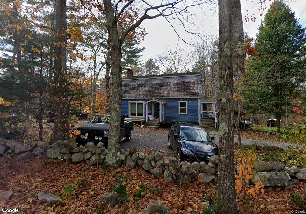
61 Fernald St Gloucester, MA 01930
West Gloucester NeighborhoodEstimated Value: $700,000 - $886,000
3
Beds
3
Baths
1,632
Sq Ft
$473/Sq Ft
Est. Value
About This Home
This home is located at 61 Fernald St, Gloucester, MA 01930 and is currently estimated at $771,624, approximately $472 per square foot. 61 Fernald St is a home located in Essex County with nearby schools including West Parish, Ralph B O'maley Middle School, and Faith Christian School.
Ownership History
Date
Name
Owned For
Owner Type
Purchase Details
Closed on
Oct 11, 2006
Sold by
Mertens Nancy M
Bought by
Aspinall Tamsin
Current Estimated Value
Home Financials for this Owner
Home Financials are based on the most recent Mortgage that was taken out on this home.
Original Mortgage
$304,000
Interest Rate
6.47%
Mortgage Type
Purchase Money Mortgage
Create a Home Valuation Report for This Property
The Home Valuation Report is an in-depth analysis detailing your home's value as well as a comparison with similar homes in the area
Home Values in the Area
Average Home Value in this Area
Purchase History
| Date | Buyer | Sale Price | Title Company |
|---|---|---|---|
| Aspinall Tamsin | $380,000 | -- |
Source: Public Records
Mortgage History
| Date | Status | Borrower | Loan Amount |
|---|---|---|---|
| Open | Aspinall Tamsin | $335,000 | |
| Closed | Aspinall Tamsin | $304,000 | |
| Closed | Aspinall Tamsin | $56,000 |
Source: Public Records
Tax History Compared to Growth
Tax History
| Year | Tax Paid | Tax Assessment Tax Assessment Total Assessment is a certain percentage of the fair market value that is determined by local assessors to be the total taxable value of land and additions on the property. | Land | Improvement |
|---|---|---|---|---|
| 2025 | $6,777 | $697,200 | $242,800 | $454,400 |
| 2024 | $6,672 | $685,700 | $231,300 | $454,400 |
| 2023 | $6,409 | $605,200 | $206,400 | $398,800 |
| 2022 | $6,224 | $530,600 | $179,500 | $351,100 |
| 2021 | $6,025 | $484,300 | $163,400 | $320,900 |
| 2020 | $5,970 | $484,200 | $163,400 | $320,800 |
| 2019 | $5,741 | $452,400 | $163,400 | $289,000 |
| 2018 | $5,562 | $430,200 | $163,400 | $266,800 |
| 2017 | $5,397 | $409,200 | $155,600 | $253,600 |
| 2016 | $5,331 | $391,700 | $162,400 | $229,300 |
| 2015 | $5,154 | $377,600 | $162,400 | $215,200 |
Source: Public Records
Map
Nearby Homes
- 11 Overlook Ave
- 7 Leaman Dr
- 587 Essex Ave
- 368 Essex Ave
- 30 Atlantic St
- 12 Woodward Ave
- 139 Eastern Ave
- 227 Essex Ave
- 5 Samoset Rd Unit A
- 109 Riverview Rd
- 145 Essex Ave Unit 610
- 188 Atlantic St
- 53 Southern Ave
- 162 Main St
- 63 Southern Ave
- 90 Southern Ave Unit 90
- 49 Thurston Point Rd
- 226 Atlantic St
- 18 Cherry St
- 196 Washington St
- 54 Fernald St
- 65 Fernald St
- 67 Fernald St
- 52 Fernald St
- 63 Fernald St
- 47 Fernald St
- 49 Fernald St
- 73 Fernald St
- 50 Fernald St
- 41 Fernald St
- 46 Fernald St
- 35 Fernald St
- 31 Fernald St
- 38 Fernald St
- 23 A Fernald St Unit A
- 23 Fernald St Unit B
- 23 Fernald St Unit A
- 23 Fernald St
- 25 0verlook Ave
- 25 Overlook Ave