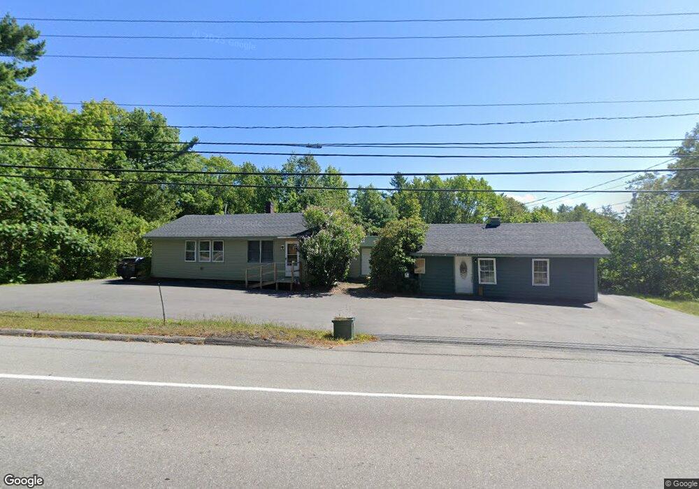
61 Flood Ave Wiscasset, ME 04578
Estimated Value: $335,000 - $366,694
2
Beds
2
Baths
875
Sq Ft
$406/Sq Ft
Est. Value
About This Home
This home is located at 61 Flood Ave, Wiscasset, ME 04578 and is currently estimated at $354,924, approximately $405 per square foot. 61 Flood Ave is a home located in Lincoln County with nearby schools including Sheepscot Valley Children's House, Wiscasset Christian Academy, and Center for Teaching & Learning.
Ownership History
Date
Name
Owned For
Owner Type
Purchase Details
Closed on
Jun 26, 2007
Sold by
Moore Jill A and Moore Brian M
Bought by
Cromwell Julie A and Jones Robert B
Current Estimated Value
Home Financials for this Owner
Home Financials are based on the most recent Mortgage that was taken out on this home.
Original Mortgage
$88,000
Outstanding Balance
$53,960
Interest Rate
6.14%
Mortgage Type
Unknown
Estimated Equity
$300,964
Purchase Details
Closed on
Jan 21, 2005
Sold by
Nadeau Francis L
Bought by
Moore Brian M and Moore Jill A
Home Financials for this Owner
Home Financials are based on the most recent Mortgage that was taken out on this home.
Original Mortgage
$80,000
Interest Rate
5.71%
Mortgage Type
Unknown
Create a Home Valuation Report for This Property
The Home Valuation Report is an in-depth analysis detailing your home's value as well as a comparison with similar homes in the area
Home Values in the Area
Average Home Value in this Area
Purchase History
| Date | Buyer | Sale Price | Title Company |
|---|---|---|---|
| Cromwell Julie A | -- | -- | |
| Moore Brian M | -- | -- |
Source: Public Records
Mortgage History
| Date | Status | Borrower | Loan Amount |
|---|---|---|---|
| Open | Cromwell Julie A | $88,000 | |
| Previous Owner | Moore Brian M | $80,000 |
Source: Public Records
Tax History Compared to Growth
Tax History
| Year | Tax Paid | Tax Assessment Tax Assessment Total Assessment is a certain percentage of the fair market value that is determined by local assessors to be the total taxable value of land and additions on the property. | Land | Improvement |
|---|---|---|---|---|
| 2024 | $3,470 | $195,300 | $58,300 | $137,000 |
| 2023 | $3,330 | $195,300 | $58,300 | $137,000 |
| 2022 | $3,245 | $161,600 | $46,600 | $115,000 |
| 2021 | $3,251 | $161,600 | $46,600 | $115,000 |
| 2020 | $3,251 | $161,600 | $46,600 | $115,000 |
| 2019 | $3,216 | $161,600 | $46,600 | $115,000 |
| 2018 | $3,159 | $161,600 | $46,600 | $115,000 |
| 2017 | $3,032 | $161,600 | $46,600 | $115,000 |
| 2016 | $3,024 | $161,600 | $46,600 | $115,000 |
| 2015 | $2,650 | $161,600 | $46,600 | $115,000 |
| 2014 | $2,747 | $161,600 | $46,600 | $115,000 |
| 2013 | $2,618 | $161,600 | $46,600 | $115,000 |
Source: Public Records
Map
Nearby Homes
- 40 Old Bath Rd
- 83 Bath Rd
- 18 Churchill St
- 18 High St
- 200 Main St
- 22 Sand Hill Rd
- 12 Micmac Dr
- 3 Langdon Rd
- 114 Fort Rd
- 285 Birch Point Rd Unit 11
- 67 Village Way Unit 505
- 304 Eddy Rd Unit 216
- 306 Eddy Rd Unit 310
- 306 Eddy Rd Unit 307
- 306 Eddy Rd Unit 309
- 11 Island Ln Unit 1
- 48 Us Route 1
- 91 Lord Rd
- Lot # 0 Deer Ridge Rd
- 52 Eddy Rd