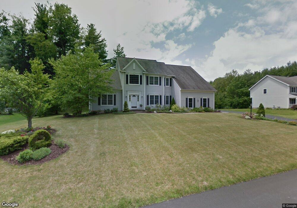
61 Gullane Dr Slingerlands, NY 12159
Estimated Value: $666,000 - $728,000
4
Beds
3
Baths
3,000
Sq Ft
$235/Sq Ft
Est. Value
About This Home
This home is located at 61 Gullane Dr, Slingerlands, NY 12159 and is currently estimated at $704,981, approximately $234 per square foot. 61 Gullane Dr is a home located in Albany County with nearby schools including St. Thomas the Apostle School and Academy of the Holy Names.
Ownership History
Date
Name
Owned For
Owner Type
Purchase Details
Closed on
Dec 14, 1999
Sold by
J Lucarelli Land Development Co Inc
Bought by
Phillips Gary A and Phillips Christine J
Current Estimated Value
Home Financials for this Owner
Home Financials are based on the most recent Mortgage that was taken out on this home.
Original Mortgage
$199,800
Outstanding Balance
$49,188
Interest Rate
5%
Estimated Equity
$655,793
Create a Home Valuation Report for This Property
The Home Valuation Report is an in-depth analysis detailing your home's value as well as a comparison with similar homes in the area
Home Values in the Area
Average Home Value in this Area
Purchase History
| Date | Buyer | Sale Price | Title Company |
|---|---|---|---|
| Phillips Gary A | $250,000 | -- |
Source: Public Records
Mortgage History
| Date | Status | Borrower | Loan Amount |
|---|---|---|---|
| Open | Phillips Gary A | $199,800 |
Source: Public Records
Tax History Compared to Growth
Tax History
| Year | Tax Paid | Tax Assessment Tax Assessment Total Assessment is a certain percentage of the fair market value that is determined by local assessors to be the total taxable value of land and additions on the property. | Land | Improvement |
|---|---|---|---|---|
| 2024 | $14,407 | $432,000 | $78,000 | $354,000 |
| 2023 | $14,023 | $432,000 | $78,000 | $354,000 |
| 2022 | $13,662 | $432,000 | $78,000 | $354,000 |
| 2021 | $13,756 | $432,000 | $78,000 | $354,000 |
| 2020 | $13,068 | $432,000 | $78,000 | $354,000 |
| 2019 | $11,759 | $432,000 | $78,000 | $354,000 |
| 2018 | $12,809 | $432,000 | $78,000 | $354,000 |
| 2017 | $12,492 | $432,000 | $78,000 | $354,000 |
| 2016 | $12,492 | $432,000 | $78,000 | $354,000 |
| 2015 | -- | $432,000 | $78,000 | $354,000 |
| 2014 | -- | $432,000 | $78,000 | $354,000 |
Source: Public Records
Map
Nearby Homes
- 10 Gailes Dr
- 41 Thorndale Rd
- 117 Brockley Dr
- 15A Font Grove Rd
- 1575 New Scotland Rd
- 38 Capricorn Ln
- 12 Bradford Place
- 82 Brockley Dr
- 11 Wakefield Ct
- 23 Canterbury Ln
- 10 Canterbury Ln
- 1 Van Dyke Rd
- 618 Kenwood Ave
- 616 Kenwood Ave
- 19 Orchard St
- 532 Wayne Place
- 481 Huron Rd
- 47 Tekakwitha Rd
- 531 Delaware Ave
- 515 Delaware Ave