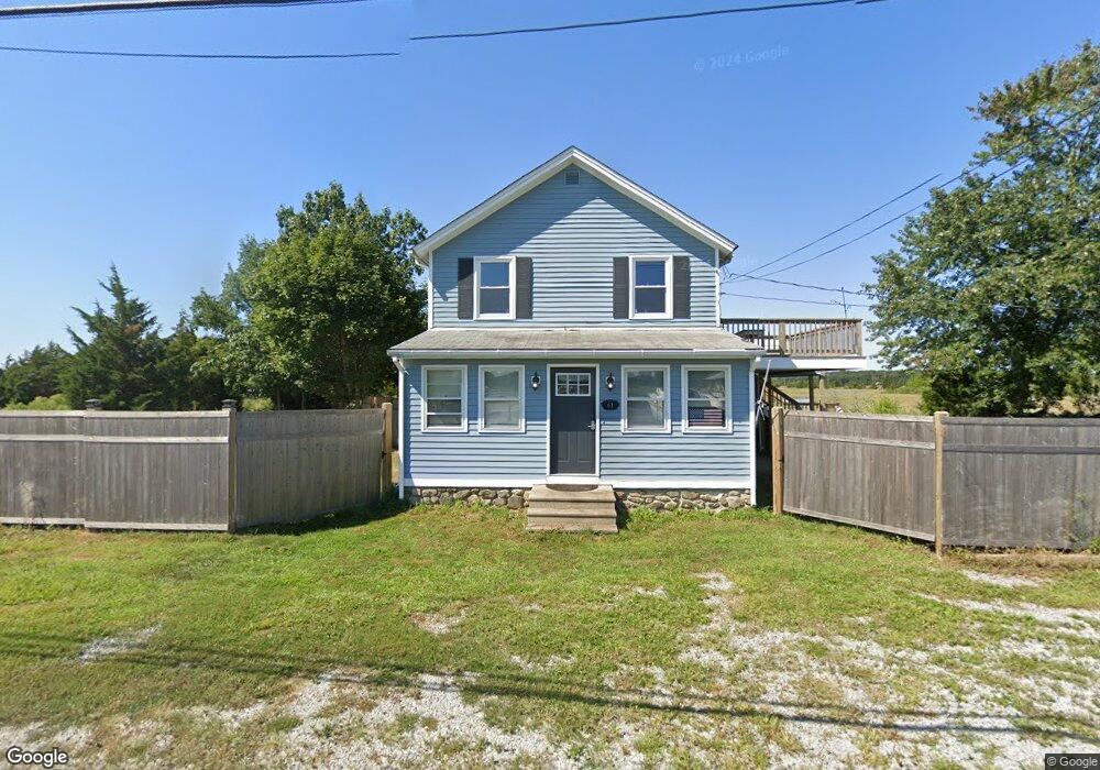
61 Hammock Rd N Westbrook, CT 06498
Estimated Value: $299,000 - $511,000
3
Beds
3
Baths
1,262
Sq Ft
$336/Sq Ft
Est. Value
About This Home
This home is located at 61 Hammock Rd N, Westbrook, CT 06498 and is currently estimated at $424,616, approximately $336 per square foot. 61 Hammock Rd N is a home located in Middlesex County with nearby schools including Daisy Ingraham School, Westbrook Middle School, and Westbrook High School.
Ownership History
Date
Name
Owned For
Owner Type
Purchase Details
Closed on
Sep 23, 2021
Sold by
Mcnary David
Bought by
Finkeldey Michael
Current Estimated Value
Purchase Details
Closed on
Jul 26, 2019
Sold by
Linnehan Edward
Bought by
Finkeldey Michale A and Finkeldey Bonnie L
Purchase Details
Closed on
Dec 29, 1989
Sold by
Mclean Philip T
Bought by
Linnehan Edward
Home Financials for this Owner
Home Financials are based on the most recent Mortgage that was taken out on this home.
Original Mortgage
$75,000
Interest Rate
9.61%
Mortgage Type
Purchase Money Mortgage
Create a Home Valuation Report for This Property
The Home Valuation Report is an in-depth analysis detailing your home's value as well as a comparison with similar homes in the area
Home Values in the Area
Average Home Value in this Area
Purchase History
| Date | Buyer | Sale Price | Title Company |
|---|---|---|---|
| Finkeldey Michael | $69,000 | None Available | |
| Finkeldey Michale A | $240,000 | -- | |
| Linnehan Edward | $100,000 | -- |
Source: Public Records
Mortgage History
| Date | Status | Borrower | Loan Amount |
|---|---|---|---|
| Previous Owner | Linnehan Edward | $40,000 | |
| Previous Owner | Linnehan Edward | $75,000 |
Source: Public Records
Tax History
| Year | Tax Paid | Tax Assessment Tax Assessment Total Assessment is a certain percentage of the fair market value that is determined by local assessors to be the total taxable value of land and additions on the property. | Land | Improvement |
|---|---|---|---|---|
| 2025 | $4,779 | $212,410 | $92,440 | $119,970 |
| 2024 | $4,609 | $212,410 | $92,440 | $119,970 |
| 2023 | $4,529 | $212,410 | $92,440 | $119,970 |
| 2022 | $4,410 | $212,410 | $92,440 | $119,970 |
| 2021 | $3,872 | $154,880 | $57,990 | $96,890 |
| 2020 | $3,872 | $154,880 | $57,990 | $96,890 |
| 2019 | $3,791 | $153,660 | $57,990 | $95,670 |
| 2018 | $3,745 | $153,660 | $57,990 | $95,670 |
| 2017 | $3,745 | $153,660 | $57,990 | $95,670 |
| 2016 | $3,499 | $151,230 | $51,540 | $99,690 |
| 2015 | $3,404 | $151,230 | $51,540 | $99,690 |
| 2014 | $3,295 | $151,230 | $51,540 | $99,690 |
Source: Public Records
Map
Nearby Homes
- 0 Boston Post Rd Unit 24080344
- 328 Hammock Rd N
- 951 Old Clinton Rd Unit 15
- 44 Linden Ave N
- 18 Broadway N
- 11a/11b Pond Circle Rd
- 37 Nolin Rd
- 41 Trolley Rd
- 29 Salt Island Rd
- 296 E Main St
- 0 Causeway
- 176 Shore Rd
- 85 McVeagh Rd
- 167 Shore Rd
- 280 E Main St Unit E2
- 144 Shore Rd
- 81 Founders Village Unit 81
- 39 Founders Village Unit 39
- 75 Shore Rd
- 0 E Main St
- 16 Hammock Rd N
- 17 Hammock Rd N
- 16 Old Boston Post Rd
- 24 Old Boston Post Rd
- 36 Old Boston Post Rd
- 0 Hammock Rd N Unit M9140777
- 0 Hammock Rd N Unit 170364317
- 0 Hammock Rd N Unit M9123402
- 00 Hammock Rd S
- 125 Hammock Rd N
- 14 Hammock Rd S
- 24 Hammock Rd S
- 163 Hammock Rd N
- 0 Boston Post Rd Unit M9112472
- 0 Boston Post Rd Unit M9129309
- 0 Boston Post Rd Unit M9135780
- 0 Boston Post Rd Unit G10122881
- 0 Boston Post Rd Unit 24060371
- 0 Boston Post Rd Unit 170381436
- 0 Boston Post Rd Unit 170309820
Your Personal Tour Guide
Ask me questions while you tour the home.