61 Harding Ave Waterford, PA 16441
Estimated Value: $145,473 - $203,000
3
Beds
1
Bath
1,008
Sq Ft
$168/Sq Ft
Est. Value
About This Home
This home is located at 61 Harding Ave, Waterford, PA 16441 and is currently estimated at $168,868, approximately $167 per square foot. 61 Harding Ave is a home located in Erie County with nearby schools including Fort Leboeuf Middle School and Fort Leboeuf Senior High School.
Ownership History
Date
Name
Owned For
Owner Type
Purchase Details
Closed on
Dec 31, 2019
Sold by
Oberlander Robert S and Oberlander Melissa Ann
Bought by
Oberlander Michael L
Current Estimated Value
Purchase Details
Closed on
Oct 17, 2014
Sold by
Oberlander Robert
Bought by
Oberlander Robert S and Oberlander Michael L
Purchase Details
Closed on
Mar 14, 2014
Sold by
Erie County Tax Claim Bureau and King Robert J
Bought by
Oberlander Robert
Create a Home Valuation Report for This Property
The Home Valuation Report is an in-depth analysis detailing your home's value as well as a comparison with similar homes in the area
Home Values in the Area
Average Home Value in this Area
Purchase History
| Date | Buyer | Sale Price | Title Company |
|---|---|---|---|
| Oberlander Michael L | -- | None Available | |
| Oberlander Robert S | -- | None Available | |
| Oberlander Robert | $66,300 | None Available |
Source: Public Records
Tax History Compared to Growth
Tax History
| Year | Tax Paid | Tax Assessment Tax Assessment Total Assessment is a certain percentage of the fair market value that is determined by local assessors to be the total taxable value of land and additions on the property. | Land | Improvement |
|---|---|---|---|---|
| 2025 | $1,514 | $66,300 | $22,500 | $43,800 |
| 2024 | $1,455 | $66,300 | $22,500 | $43,800 |
| 2023 | $1,412 | $66,300 | $22,500 | $43,800 |
| 2022 | $1,376 | $66,300 | $22,500 | $43,800 |
| 2021 | $1,346 | $66,300 | $22,500 | $43,800 |
| 2020 | $1,329 | $66,300 | $22,500 | $43,800 |
| 2019 | $1,329 | $66,300 | $22,500 | $43,800 |
| 2018 | $1,309 | $66,300 | $22,500 | $43,800 |
| 2017 | $1,285 | $66,300 | $22,500 | $43,800 |
| 2016 | $1,394 | $66,300 | $22,500 | $43,800 |
| 2015 | $1,378 | $66,300 | $22,500 | $43,800 |
| 2014 | $786 | $66,300 | $22,500 | $43,800 |
Source: Public Records
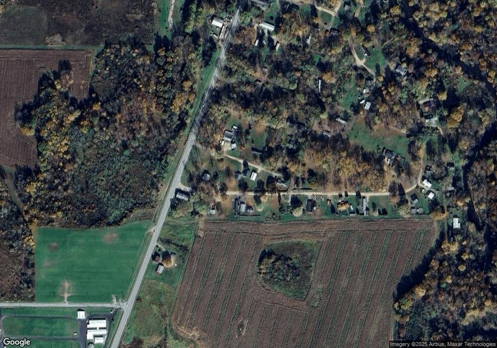
Map
Nearby Homes
- 34 Lincoln Ave
- 13672 Route 19
- 162 E 2nd St
- 0 E 3rd St
- 11226 Route
- 438 Circuit St
- 819 Chestnut St
- 9351 Peach St
- TBD2 Plank Rd
- TBD 1 Plank Rd
- 525 Benson Rd
- Tbd Plank Rd
- 684 Benson Rd
- Tbd 1 Plank Rd Unit LotWP001
- 11682 Route 97 N Unit 159
- 3920 Stone Quarry Rd
- 2363 E Center St
- 4060 Route 6
- 13134 Clute Rd
- 0 Sharp Rd Unit 185719
- 49 Harding Ave
- 13055 Washington Cir
- 12973 Route 19 S
- 47 Wilson Ave
- 12973 U S 19
- 42 Wilson Ave
- 12985 Route 19 S
- 13 Mckinley Ave
- 117 Mckinley Ave
- 12993 Route 19 S
- 77 Roosevelt Ave
- 149 McKinley Ave Extension
- 12940 Washington Cir
- 92 Wilson Ave
- 0 Washington Cir
- 12918 Washington Cir
- 12 Roosevelt Ave Unit B
- 13005 Washington Cir
- 12953 Washington Cir
- 12897 Washington Cir