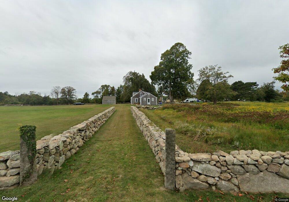
61 Howland Rd Westport, MA 02790
Acoaxet NeighborhoodEstimated Value: $1,536,553 - $2,182,000
4
Beds
--
Bath
2,478
Sq Ft
$743/Sq Ft
Est. Value
About This Home
This home is located at 61 Howland Rd, Westport, MA 02790 and is currently estimated at $1,840,518, approximately $742 per square foot. 61 Howland Rd is a home located in Bristol County with nearby schools including Alice A. Macomber Primary School, Westport Elementary School, and Westport Middle-High School.
Ownership History
Date
Name
Owned For
Owner Type
Purchase Details
Closed on
Jun 26, 2001
Sold by
Stoesser Joel W and Stoesser Sheridan H
Bought by
Howland Road T and Penney John S
Current Estimated Value
Purchase Details
Closed on
Jan 18, 2000
Sold by
Bongartz Helena B
Bought by
Stoesser Joel W and Stoesser Sheridan H
Home Financials for this Owner
Home Financials are based on the most recent Mortgage that was taken out on this home.
Original Mortgage
$395,000
Interest Rate
7.79%
Mortgage Type
Purchase Money Mortgage
Create a Home Valuation Report for This Property
The Home Valuation Report is an in-depth analysis detailing your home's value as well as a comparison with similar homes in the area
Home Values in the Area
Average Home Value in this Area
Purchase History
| Date | Buyer | Sale Price | Title Company |
|---|---|---|---|
| Howland Road T | $618,000 | -- | |
| Stoesser Joel W | $495,000 | -- |
Source: Public Records
Mortgage History
| Date | Status | Borrower | Loan Amount |
|---|---|---|---|
| Previous Owner | Stoesser Joel W | $395,000 | |
| Previous Owner | Stoesser Joel W | $83,200 |
Source: Public Records
Tax History Compared to Growth
Tax History
| Year | Tax Paid | Tax Assessment Tax Assessment Total Assessment is a certain percentage of the fair market value that is determined by local assessors to be the total taxable value of land and additions on the property. | Land | Improvement |
|---|---|---|---|---|
| 2025 | $8,929 | $1,198,500 | $696,900 | $501,600 |
| 2024 | $8,440 | $1,091,900 | $594,100 | $497,800 |
| 2023 | $8,241 | $1,009,900 | $569,000 | $440,900 |
| 2022 | $8,382 | $988,400 | $569,000 | $419,400 |
| 2021 | $6,837 | $793,100 | $523,400 | $269,700 |
| 2020 | $3,924 | $709,900 | $505,200 | $204,700 |
| 2019 | $5,851 | $707,500 | $512,100 | $195,400 |
| 2018 | $3,675 | $683,200 | $481,400 | $201,800 |
| 2017 | $5,469 | $686,200 | $481,400 | $204,800 |
| 2016 | $5,368 | $678,600 | $481,400 | $197,200 |
| 2015 | $5,423 | $683,800 | $493,900 | $189,900 |
Source: Public Records
Map
Nearby Homes
- 19 Seabury Ln
- 189 Brayton Point Rd
- 304 Brayton Point Rd
- 255 John Dyer Rd
- 1749 Main Rd
- 1881 Main Rd
- 245 John Dyer Rd
- 1580 Main Rd
- 505 Long Hwy
- 18 Old Barn Rd
- 128 Maple Ave
- 0 Reed Rd (Ss)
- 1702J Drift Rd
- 1702 Drift Rd
- 1346 Main Rd Unit B
- 17 Quail Trail
- 141 S Of Commons Rd
- 0 Willow Ave
- 116 Amy Hart Path
- 83 Long Hwy