61 Juniper Heights Rd Golden, CO 80403
Estimated Value: $406,430 - $521,000
2
Beds
1
Bath
1,400
Sq Ft
$335/Sq Ft
Est. Value
About This Home
This home is located at 61 Juniper Heights Rd, Golden, CO 80403 and is currently estimated at $468,608, approximately $334 per square foot. 61 Juniper Heights Rd is a home located in Boulder County with nearby schools including Nederland Elementary School and Nederland Middle-Senior High School.
Ownership History
Date
Name
Owned For
Owner Type
Purchase Details
Closed on
Jul 25, 2005
Sold by
Verrill Scott A and Verrill Scott
Bought by
Haas Lance W
Current Estimated Value
Home Financials for this Owner
Home Financials are based on the most recent Mortgage that was taken out on this home.
Original Mortgage
$127,200
Outstanding Balance
$68,362
Interest Rate
6.12%
Mortgage Type
Purchase Money Mortgage
Estimated Equity
$400,246
Purchase Details
Closed on
Feb 26, 1994
Sold by
Verrill Scott and Sleight Susan
Bought by
Verrill Scott
Home Financials for this Owner
Home Financials are based on the most recent Mortgage that was taken out on this home.
Original Mortgage
$62,000
Interest Rate
7.21%
Purchase Details
Closed on
Feb 20, 1990
Bought by
Haas Lance W
Purchase Details
Closed on
Aug 5, 1976
Bought by
Haas Lance W
Create a Home Valuation Report for This Property
The Home Valuation Report is an in-depth analysis detailing your home's value as well as a comparison with similar homes in the area
Home Values in the Area
Average Home Value in this Area
Purchase History
| Date | Buyer | Sale Price | Title Company |
|---|---|---|---|
| Haas Lance W | $159,000 | -- | |
| Verrill Scott | $15,000 | -- | |
| Haas Lance W | $70,000 | -- | |
| Haas Lance W | $20,000 | -- |
Source: Public Records
Mortgage History
| Date | Status | Borrower | Loan Amount |
|---|---|---|---|
| Open | Haas Lance W | $127,200 | |
| Previous Owner | Verrill Scott | $62,000 |
Source: Public Records
Tax History Compared to Growth
Tax History
| Year | Tax Paid | Tax Assessment Tax Assessment Total Assessment is a certain percentage of the fair market value that is determined by local assessors to be the total taxable value of land and additions on the property. | Land | Improvement |
|---|---|---|---|---|
| 2025 | $1,643 | $23,007 | $2,338 | $20,669 |
| 2024 | $1,643 | $23,007 | $2,338 | $20,669 |
| 2023 | $1,612 | $20,328 | $2,405 | $21,608 |
| 2022 | $1,645 | $19,168 | $1,856 | $17,312 |
| 2021 | $1,621 | $19,720 | $1,909 | $17,811 |
| 2020 | $1,362 | $16,374 | $3,289 | $13,085 |
| 2019 | $1,340 | $16,374 | $3,289 | $13,085 |
| 2018 | $1,382 | $16,646 | $3,384 | $13,262 |
| 2017 | $1,340 | $18,403 | $3,741 | $14,662 |
| 2016 | $1,194 | $14,376 | $3,264 | $11,112 |
| 2015 | $1,128 | $14,018 | $7,642 | $6,376 |
| 2014 | $1,100 | $14,018 | $7,642 | $6,376 |
Source: Public Records
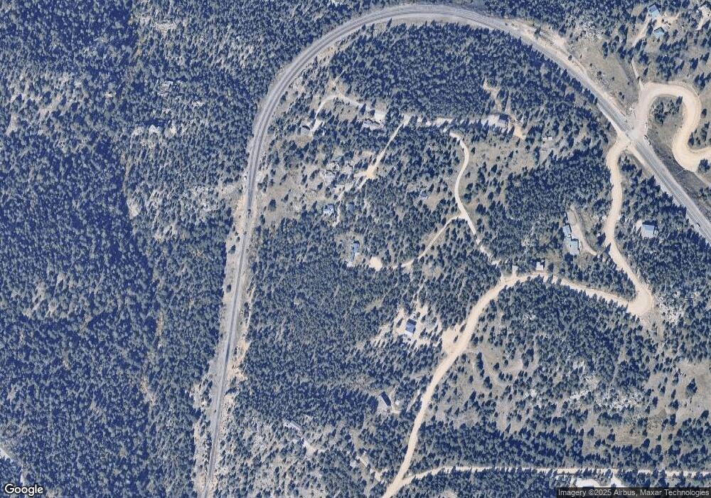
Map
Nearby Homes
- 2489 Gross Dam Rd
- 93 Gross Dam Rd
- 2311 Colorado 72
- 1546 Chute Rd
- 1259 Chute Rd
- 31390 Highway 72
- 854 Crescent Lake Rd Unit 29
- 1118 Copperdale Ln
- 388 Copperdale Ln
- 12023 Coal Creek Heights Dr
- 11540 Inspiration Rd
- 11956 Coal Creek Heights Dr
- 11876 Coal Creek Heights Dr
- 11857 Coal Creek Heights Dr
- 32748 Janelle Ln Unit 25a
- 11717 Coal Creek Heights Dr
- 11766 Coal Creek Heights Dr
- 33090 Janelle Cir
- 713 Rudi Ln
- 505 Lakeshore Dr
- 232 Juniper Heights Rd
- 255 Juniper Heights Rd
- 226 Juniper Heights Rd
- 234 Juniper Heights Rd
- 224 Juniper Heights Rd
- 73 Juniper Heights Rd
- 1907 Gross Dam Rd
- 170 Juniper Heights Rd
- 172 Juniper Heights Rd
- 1815 Gross Dam Rd
- 18 Juniper Heights Rd
- 140 Juniper Heights Rd
- 1743 Gross Dam Rd
- 2089 Gross Dam Rd
- 101 Chute Rd
- 1720 Gross Dam Rd
- 2221 Gross Dam Rd
- 2457 Gross Dam Rd
- 1723 Gross Dam Rd
- 2066 Gross Dam Rd