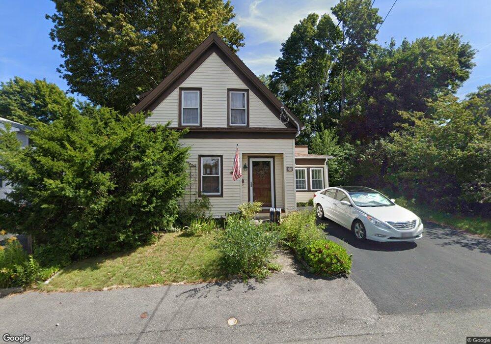
61 Keith St Weymouth, MA 02188
Weymouth Landing NeighborhoodEstimated Value: $517,261 - $608,000
3
Beds
1
Bath
1,183
Sq Ft
$472/Sq Ft
Est. Value
About This Home
This home is located at 61 Keith St, Weymouth, MA 02188 and is currently estimated at $557,815, approximately $471 per square foot. 61 Keith St is a home located in Norfolk County with nearby schools including Frederick C Murphy, Abigail Adams Middle School, and Weymouth Middle School Chapman.
Ownership History
Date
Name
Owned For
Owner Type
Purchase Details
Closed on
May 27, 1988
Sold by
Cronin Alice M
Bought by
Cassidy Donna M M
Current Estimated Value
Home Financials for this Owner
Home Financials are based on the most recent Mortgage that was taken out on this home.
Original Mortgage
$106,650
Interest Rate
10.18%
Mortgage Type
Purchase Money Mortgage
Create a Home Valuation Report for This Property
The Home Valuation Report is an in-depth analysis detailing your home's value as well as a comparison with similar homes in the area
Home Values in the Area
Average Home Value in this Area
Purchase History
| Date | Buyer | Sale Price | Title Company |
|---|---|---|---|
| Cassidy Donna M M | $118,500 | -- |
Source: Public Records
Mortgage History
| Date | Status | Borrower | Loan Amount |
|---|---|---|---|
| Closed | Cassidy Donna M M | $102,200 | |
| Closed | Cassidy Donna M M | $106,650 |
Source: Public Records
Tax History
| Year | Tax Paid | Tax Assessment Tax Assessment Total Assessment is a certain percentage of the fair market value that is determined by local assessors to be the total taxable value of land and additions on the property. | Land | Improvement |
|---|---|---|---|---|
| 2025 | $4,567 | $452,200 | $216,800 | $235,400 |
| 2024 | $4,424 | $430,800 | $206,500 | $224,300 |
| 2023 | $4,265 | $408,100 | $191,200 | $216,900 |
| 2022 | $4,174 | $364,200 | $177,100 | $187,100 |
| 2021 | $3,804 | $324,000 | $177,100 | $146,900 |
| 2020 | $3,630 | $304,500 | $177,100 | $127,400 |
| 2019 | $3,543 | $292,300 | $170,300 | $122,000 |
| 2018 | $3,391 | $271,300 | $162,100 | $109,200 |
| 2017 | $3,211 | $250,700 | $154,500 | $96,200 |
| 2016 | $3,086 | $241,100 | $148,500 | $92,600 |
| 2015 | $2,915 | $226,000 | $141,800 | $84,200 |
| 2014 | $2,793 | $210,000 | $131,900 | $78,100 |
Source: Public Records
Map
Nearby Homes
- 122 Washington St Unit Twenty-two
- 11 Richmond St
- 25 Richmond St
- 19 Vine St Unit 3
- 19 Vine St Unit 2
- 46 Roosevelt Rd
- 37 Lantern Ln
- 15 Summer St
- 41 Lantern Ln
- 16 Beechwood Rd
- 54 Edgemont Rd
- 33 Congress St
- 211 Roosevelt Rd
- 300 Commercial St Unit 23
- 312 Shaw St
- 70 Biscayne Ave
- 26 Tingley Rd
- 82 Lester Ln
- 49 Cornish St
- 29-31 Broad Street Place
- 65 Keith St
- 53 Keith St
- 42 Granite St
- 38 Granite St
- 38 Granite St Unit 1
- 38 Granite St Unit n/a
- 48 Granite St
- 49 Keith St
- 69 Keith St
- 32-36 Granite St Unit 36
- 32-36 Granite St
- 50 Granite St
- 17 Worster Terrace
- 9 Worster Terrace
- 32 Granite St Unit 34L
- 34 Granite St Unit 2R
- 36 Granite St Unit R1
- 32 Granite St Unit 1L
- 34 Granite St Unit 2L
- 46 Prospect St
Your Personal Tour Guide
Ask me questions while you tour the home.