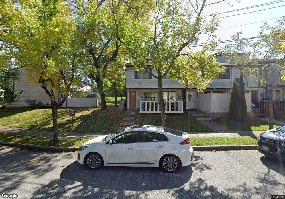
61 Lombard Ct Unit A Staten Island, NY 10312
Huguenot NeighborhoodEstimated Value: $510,066 - $552,000
3
Beds
2
Baths
1,232
Sq Ft
$427/Sq Ft
Est. Value
About This Home
This home is located at 61 Lombard Ct Unit A, Staten Island, NY 10312 and is currently estimated at $525,517, approximately $426 per square foot. 61 Lombard Ct Unit A is a home located in Richmond County with nearby schools including P.S. 4 - Maurice Wollin, I.S. 075 Frank D. Paulo, and Tottenville High School.
Ownership History
Date
Name
Owned For
Owner Type
Purchase Details
Closed on
Oct 19, 1999
Sold by
Gulizia Paula
Bought by
Macneil Lauchlin and Silverman Sue Ellen
Current Estimated Value
Home Financials for this Owner
Home Financials are based on the most recent Mortgage that was taken out on this home.
Original Mortgage
$123,000
Interest Rate
7.84%
Purchase Details
Closed on
Dec 29, 1995
Sold by
Gulizia John and Gulizia Paula
Bought by
Gulizia Paula
Create a Home Valuation Report for This Property
The Home Valuation Report is an in-depth analysis detailing your home's value as well as a comparison with similar homes in the area
Home Values in the Area
Average Home Value in this Area
Purchase History
| Date | Buyer | Sale Price | Title Company |
|---|---|---|---|
| Macneil Lauchlin | $133,000 | Fidelity National Title Ins | |
| Gulizia Paula | $14,000 | -- |
Source: Public Records
Mortgage History
| Date | Status | Borrower | Loan Amount |
|---|---|---|---|
| Previous Owner | Macneil Lauchlin | $123,000 |
Source: Public Records
Tax History Compared to Growth
Tax History
| Year | Tax Paid | Tax Assessment Tax Assessment Total Assessment is a certain percentage of the fair market value that is determined by local assessors to be the total taxable value of land and additions on the property. | Land | Improvement |
|---|---|---|---|---|
| 2025 | $3,797 | $27,780 | $3,950 | $23,830 |
| 2024 | $3,809 | $28,800 | $3,595 | $25,205 |
| 2023 | $3,839 | $20,304 | $3,711 | $16,593 |
| 2022 | $3,735 | $24,480 | $5,100 | $19,380 |
| 2021 | $3,697 | $24,120 | $5,100 | $19,020 |
| 2020 | $3,500 | $23,220 | $5,100 | $18,120 |
| 2019 | $3,247 | $22,860 | $5,100 | $17,760 |
| 2018 | $3,152 | $16,920 | $5,064 | $11,856 |
| 2017 | $3,123 | $16,789 | $4,391 | $12,398 |
| 2016 | $2,856 | $15,839 | $4,843 | $10,996 |
| 2015 | $2,401 | $14,943 | $3,456 | $11,487 |
| 2014 | $2,401 | $14,100 | $3,315 | $10,785 |
Source: Public Records
Map
Nearby Homes
- 40 Raily Ct
- 20 Country Ln
- 12 Alcott St Unit A
- 10A Pratt Ct
- 26 Alcott St Unit A
- 28 Alcott St
- 30 Alcott St
- 141 Huguenot Ave
- 45 Daffodil Ct
- 39 Poets Cir
- 12 Yucca Dr
- 6 Dogwood Dr
- 163 Hampton Green
- 30 Chestnut Cir
- 141 Hampton Green
- 164 Dover Green
- 29 Chestnut Cir Unit 214
- 29 Chestnut Cir
- 38 Beekman Cir
- 214 Forest Green