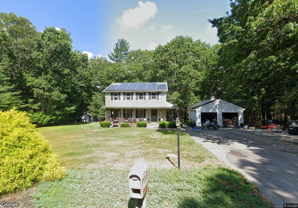
61 Malbone Rd Assonet, MA 02702
Estimated Value: $569,000 - $663,000
3
Beds
3
Baths
1,792
Sq Ft
$343/Sq Ft
Est. Value
About This Home
This home is located at 61 Malbone Rd, Assonet, MA 02702 and is currently estimated at $614,335, approximately $342 per square foot. 61 Malbone Rd is a home located in Bristol County with nearby schools including Freetown Elementary School, George R Austin Intermediate School, and Freetown-Lakeville Middle School.
Ownership History
Date
Name
Owned For
Owner Type
Purchase Details
Closed on
Apr 30, 1999
Sold by
Boisselle Robert and Boisselle Lenette
Bought by
Deterra James F and Deterra Nicole M
Current Estimated Value
Home Financials for this Owner
Home Financials are based on the most recent Mortgage that was taken out on this home.
Original Mortgage
$173,375
Interest Rate
6.95%
Mortgage Type
Purchase Money Mortgage
Create a Home Valuation Report for This Property
The Home Valuation Report is an in-depth analysis detailing your home's value as well as a comparison with similar homes in the area
Purchase History
| Date | Buyer | Sale Price | Title Company |
|---|---|---|---|
| Deterra James F | $182,500 | -- |
Source: Public Records
Mortgage History
| Date | Status | Borrower | Loan Amount |
|---|---|---|---|
| Open | Deterra James F | $205,000 | |
| Closed | Deterra James F | $176,000 | |
| Closed | Deterra James F | $10,000 | |
| Closed | Deterra James F | $173,375 |
Source: Public Records
Tax History
| Year | Tax Paid | Tax Assessment Tax Assessment Total Assessment is a certain percentage of the fair market value that is determined by local assessors to be the total taxable value of land and additions on the property. | Land | Improvement |
|---|---|---|---|---|
| 2025 | $5,198 | $524,500 | $196,700 | $327,800 |
| 2024 | $5,166 | $495,300 | $185,500 | $309,800 |
| 2023 | $5,049 | $471,400 | $167,100 | $304,300 |
| 2022 | $4,822 | $399,800 | $141,500 | $258,300 |
| 2021 | $4,638 | $365,200 | $128,700 | $236,500 |
| 2020 | $4,618 | $354,700 | $123,700 | $231,000 |
| 2019 | $4,447 | $338,200 | $123,400 | $214,800 |
| 2018 | $4,219 | $317,000 | $123,400 | $193,600 |
| 2017 | $4,140 | $310,800 | $123,400 | $187,400 |
| 2016 | $3,901 | $298,000 | $119,900 | $178,100 |
| 2015 | $3,830 | $296,900 | $119,900 | $177,000 |
| 2014 | $3,764 | $298,500 | $122,800 | $175,700 |
Source: Public Records
Map
Nearby Homes
- 52 Anthony St
- 0 Sammys Ln
- 23 Elmwood Dr
- 71 County St
- 37 Simpson Ln
- 5 Hadley Heights Way
- 16 Water St Unit C
- 16 Water St Unit A
- 16 Water St Unit B
- 16 Water St Unit D
- 4 Hadley Heights Way
- 73 Seymour St
- 145 County St
- 24 Bells Brook Rd
- 42 High St
- 66 S Main St
- 1969 County St
- 73 Bayview Ave
- 4 Narrows Rd
- 47 Narrows Rd
- 6 Ledgeview Dr
- 65 Malbone Rd
- 8 Ledgeview Dr
- 55 Malbone Rd
- 67 Malbone Rd
- 53 Malbone Rd
- 10 Ledgeview Dr
- 66 Malbone Rd
- 69 Malbone Rd
- 5 Ledgeview Dr
- 60 Malbone Rd
- 12 Ledgeview Dr
- 7 Ledgeview Dr
- 74 Malbone Rd
- 9 Ledgeview Dr
- 11 Ledgeview Dr
- 54 Malbone Rd
- 4 Mill Street Extension
- 71 Malbone Rd
- 51 Malbone Rd
Your Personal Tour Guide
Ask me questions while you tour the home.