61 Maple St Unit L Canton, MA 02021
Estimated Value: $486,000 - $569,000
2
Beds
2
Baths
1,257
Sq Ft
$423/Sq Ft
Est. Value
About This Home
This home is located at 61 Maple St Unit L, Canton, MA 02021 and is currently estimated at $531,086, approximately $422 per square foot. 61 Maple St Unit L is a home located in Norfolk County with nearby schools including Canton High School, St. John the Evangelist School, and Chabad Day School of School.
Ownership History
Date
Name
Owned For
Owner Type
Purchase Details
Closed on
Apr 1, 2024
Sold by
Williams Elsie
Bought by
61 Maple Street Rt and Williams
Current Estimated Value
Purchase Details
Closed on
Dec 11, 2019
Sold by
Altman Stanley and Altman Arline G
Bought by
Williams Elsie
Purchase Details
Closed on
Jul 29, 1996
Sold by
Canton Commons T Ltd
Bought by
Altman Stanley and Altman Arline G
Create a Home Valuation Report for This Property
The Home Valuation Report is an in-depth analysis detailing your home's value as well as a comparison with similar homes in the area
Home Values in the Area
Average Home Value in this Area
Purchase History
| Date | Buyer | Sale Price | Title Company |
|---|---|---|---|
| 61 Maple Street Rt | -- | None Available | |
| Williams Elsie | $330,000 | None Available | |
| Altman Stanley | $141,900 | -- | |
| Altman Stanley | $141,900 | -- |
Source: Public Records
Mortgage History
| Date | Status | Borrower | Loan Amount |
|---|---|---|---|
| Previous Owner | Altman Stanley | $175,000 |
Source: Public Records
Tax History
| Year | Tax Paid | Tax Assessment Tax Assessment Total Assessment is a certain percentage of the fair market value that is determined by local assessors to be the total taxable value of land and additions on the property. | Land | Improvement |
|---|---|---|---|---|
| 2025 | $4,665 | $471,700 | $0 | $471,700 |
| 2024 | $4,290 | $430,300 | $0 | $430,300 |
| 2023 | $3,988 | $377,300 | $0 | $377,300 |
| 2022 | $4,201 | $370,100 | $0 | $370,100 |
| 2021 | $4,222 | $346,100 | $0 | $346,100 |
| 2020 | $4,115 | $336,500 | $0 | $336,500 |
| 2019 | $3,978 | $320,800 | $0 | $320,800 |
| 2018 | $3,894 | $313,500 | $0 | $313,500 |
| 2017 | $3,937 | $307,800 | $0 | $307,800 |
| 2016 | $3,442 | $269,100 | $0 | $269,100 |
| 2015 | $3,319 | $258,900 | $0 | $258,900 |
Source: Public Records
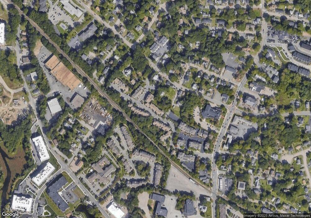
Map
Nearby Homes
- 29 Maple St Unit G
- 1 Revolution Way Unit 307
- 16 Danforth St
- 12 Danforth St
- 865 Washington St Unit 6
- 30 Coppersmith Way Unit 209
- 30 Coppersmith Way Unit 313
- 30 Coppersmith Way Unit 112
- 30 Coppersmith Way Unit 109
- 30 Coppersmith Way Unit 206
- 30 Coppersmith Way Unit 110
- 30 Coppersmith Way Unit 113
- 30 Coppersmith Way Unit 104
- 30 Coppersmith Way Unit 213
- 30 Coppersmith Way Unit 407
- 30 Coppersmith Way Unit 208
- 30 Coppersmith Way Unit 309
- 30 Coppersmith Way Unit 311
- 30 Coppersmith Way Unit 201
- 30 Coppersmith Way Unit 301
- 63 Maple St Unit J
- 63 Maple St Unit H
- 63 Maple St Unit G
- 63 Maple St Unit F
- 63 Maple St Unit E
- 63 Maple St Unit D
- 63 Maple St Unit C
- 63 Maple St Unit B
- 63 Maple St Unit A
- 61 Maple St Unit P
- 61 Maple St Unit O
- 61 Maple St Unit N
- 61 Maple St Unit M
- 61 Maple St Unit K
- 61 Maple St Unit J
- 61 Maple St Unit H
- 61 Maple St Unit G
- 61 Maple St Unit F
- 61 Maple St Unit E
- 61 Maple St Unit D
Your Personal Tour Guide
Ask me questions while you tour the home.