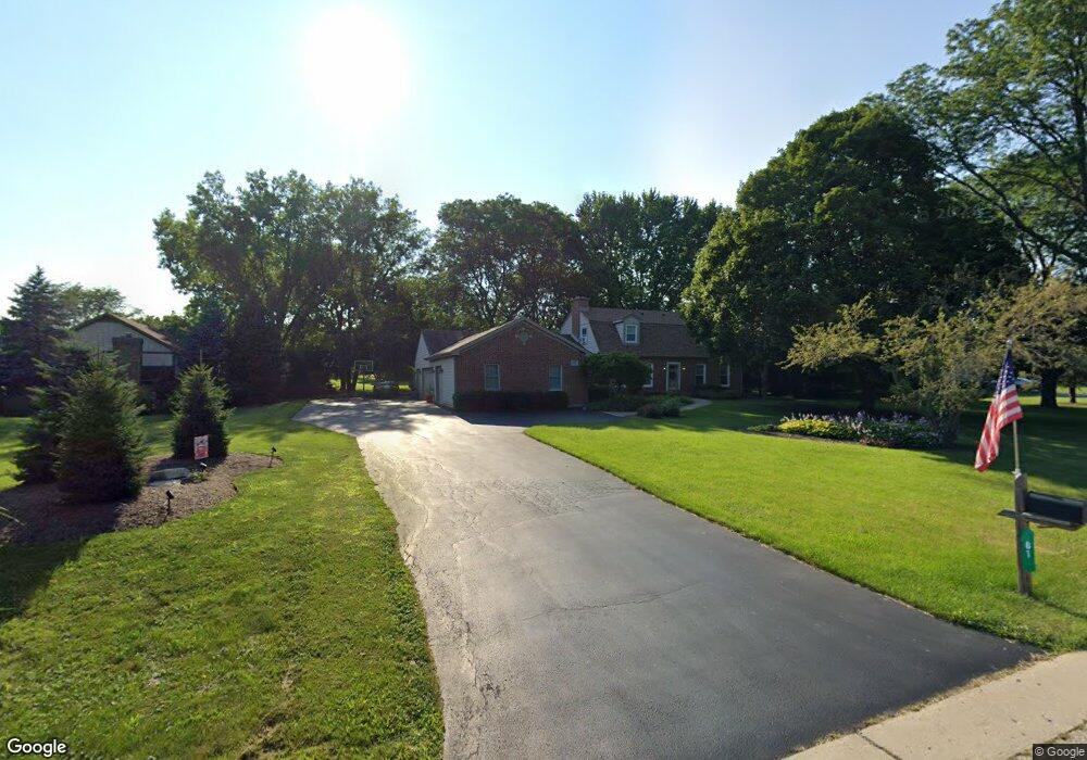
61 Mark Dr Hawthorn Woods, IL 60047
Estimated Value: $680,000 - $884,000
4
Beds
3
Baths
2,356
Sq Ft
$312/Sq Ft
Est. Value
About This Home
This home is located at 61 Mark Dr, Hawthorn Woods, IL 60047 and is currently estimated at $735,119, approximately $312 per square foot. 61 Mark Dr is a home located in Lake County with nearby schools including Fremont Elementary School, Fremont Intermediate School, and Fremont Jr High/Middle School.
Ownership History
Date
Name
Owned For
Owner Type
Purchase Details
Closed on
Oct 3, 2007
Sold by
Cooper Darrell C and Cooper Barbara J
Bought by
Zanardo Ronald and Zanardo Leann
Current Estimated Value
Home Financials for this Owner
Home Financials are based on the most recent Mortgage that was taken out on this home.
Original Mortgage
$320,000
Outstanding Balance
$202,173
Interest Rate
6.44%
Mortgage Type
Purchase Money Mortgage
Estimated Equity
$532,946
Purchase Details
Closed on
Jun 30, 1998
Sold by
Tichenor Daniel A and Kane Michele M
Bought by
Cooper Darrell C and Cooper Barbara J
Purchase Details
Closed on
Jan 19, 1998
Sold by
Bosack Michele Kane and Kane Michele
Bought by
Tichenor Daniel A and Kane Michele M
Home Financials for this Owner
Home Financials are based on the most recent Mortgage that was taken out on this home.
Original Mortgage
$184,800
Interest Rate
7.5%
Create a Home Valuation Report for This Property
The Home Valuation Report is an in-depth analysis detailing your home's value as well as a comparison with similar homes in the area
Home Values in the Area
Average Home Value in this Area
Purchase History
| Date | Buyer | Sale Price | Title Company |
|---|---|---|---|
| Zanardo Ronald | $505,000 | Attorneys Title Guaranty Fun | |
| Cooper Darrell C | $275,000 | Chicago Title Insurance Co | |
| Tichenor Daniel A | -- | Chicago Title Insurance Co |
Source: Public Records
Mortgage History
| Date | Status | Borrower | Loan Amount |
|---|---|---|---|
| Open | Zanardo Ronald | $320,000 | |
| Previous Owner | Tichenor Daniel A | $184,800 |
Source: Public Records
Tax History Compared to Growth
Tax History
| Year | Tax Paid | Tax Assessment Tax Assessment Total Assessment is a certain percentage of the fair market value that is determined by local assessors to be the total taxable value of land and additions on the property. | Land | Improvement |
|---|---|---|---|---|
| 2024 | $13,406 | $172,881 | $38,380 | $134,501 |
| 2023 | $11,780 | $155,775 | $34,582 | $121,193 |
| 2022 | $11,780 | $135,839 | $33,913 | $101,926 |
| 2021 | $11,364 | $132,358 | $33,044 | $99,314 |
| 2020 | $11,461 | $132,358 | $33,044 | $99,314 |
| 2019 | $11,508 | $134,249 | $32,756 | $101,493 |
| 2018 | $11,332 | $134,181 | $35,235 | $98,946 |
| 2017 | $11,302 | $132,563 | $34,810 | $97,753 |
| 2016 | $11,096 | $128,366 | $33,708 | $94,658 |
| 2015 | $11,128 | $122,265 | $32,106 | $90,159 |
| 2014 | $10,463 | $114,768 | $35,091 | $79,677 |
| 2012 | $9,421 | $115,010 | $35,165 | $79,845 |
Source: Public Records
Map
Nearby Homes
- 3 Jane Ct
- 21 Hawthorn Dr
- 21019 W Preserve Dr
- 20979 W Preserve Dr
- 20966 W Preserve Dr
- 23991 Red Oak Ct
- 2 Hawthorn Dr
- 6 Orchard Ln
- 21070 W Columbia Ct
- 21315 W Pepper Dr
- 19925 Indian Creek Rd
- 20110 W Old Meadow Trail
- 6764 W Creekside Dr
- 6 Lagoon Dr
- 5 Lagoon Dr
- 43 Rosewood Dr
- 21328 W Starry Ln
- 24150 Gilmer Rd
- 4904 Clover Ct
- 4595 Patricia Dr