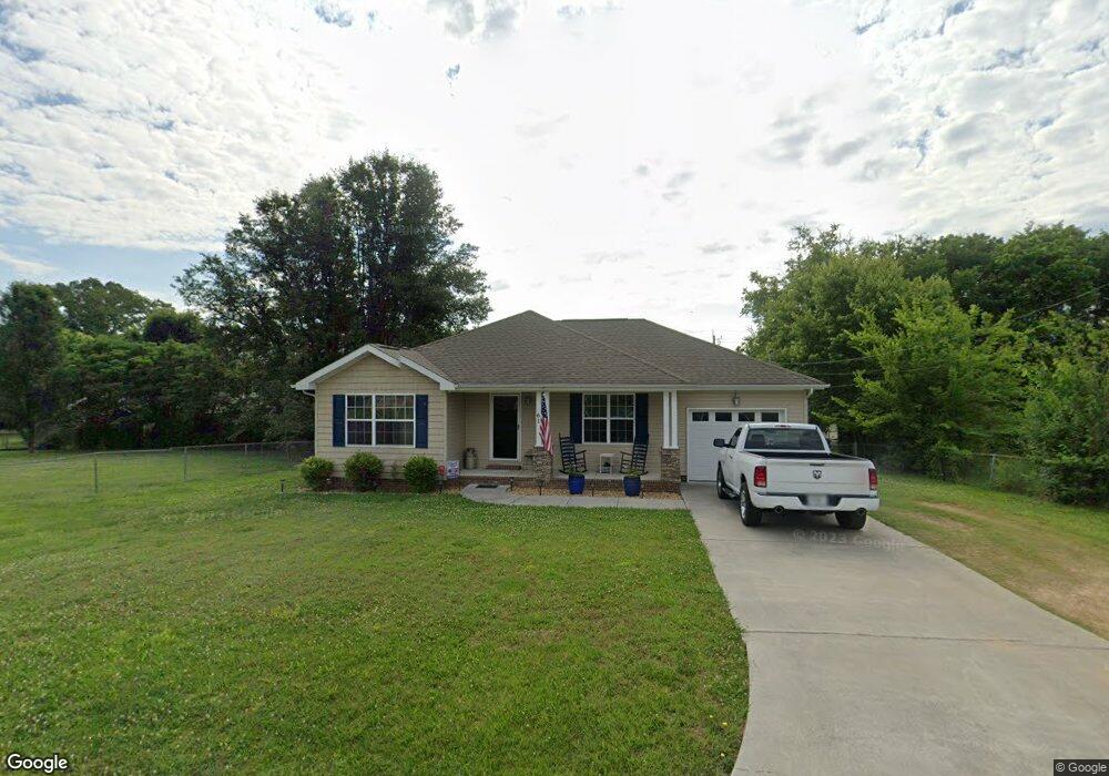
61 McOtis Dr Fort Oglethorpe, GA 30742
Estimated Value: $193,000 - $213,186
Studio
--
Bath
1,062
Sq Ft
$191/Sq Ft
Est. Value
About This Home
This home is located at 61 McOtis Dr, Fort Oglethorpe, GA 30742 and is currently estimated at $203,297, approximately $191 per square foot. 61 McOtis Dr is a home with nearby schools including Battlefield Primary School, Battlefield Elementary School, and Lakeview Middle School.
Ownership History
Date
Name
Owned For
Owner Type
Purchase Details
Closed on
Dec 22, 2020
Sold by
Gearrin Winfred Allen
Bought by
Elswick John C and Carter Sabrina D
Current Estimated Value
Home Financials for this Owner
Home Financials are based on the most recent Mortgage that was taken out on this home.
Original Mortgage
$132,031
Outstanding Balance
$116,459
Interest Rate
2.7%
Mortgage Type
FHA
Estimated Equity
$86,838
Purchase Details
Closed on
Mar 25, 2011
Sold by
Gearrin Phillip Charles
Bought by
Gearrin Winfred Allen
Purchase Details
Closed on
Sep 24, 2003
Bought by
Gearrin Phillip Charles
Create a Home Valuation Report for This Property
The Home Valuation Report is an in-depth analysis detailing your home's value as well as a comparison with similar homes in the area
Home Values in the Area
Average Home Value in this Area
Purchase History
| Date | Buyer | Sale Price | Title Company |
|---|---|---|---|
| Elswick John C | $135,400 | -- | |
| Gearrin Winfred Allen | -- | -- | |
| Gearrin Phillip Charles | -- | -- |
Source: Public Records
Mortgage History
| Date | Status | Borrower | Loan Amount |
|---|---|---|---|
| Open | Elswick John C | $132,031 |
Source: Public Records
Tax History
| Year | Tax Paid | Tax Assessment Tax Assessment Total Assessment is a certain percentage of the fair market value that is determined by local assessors to be the total taxable value of land and additions on the property. | Land | Improvement |
|---|---|---|---|---|
| 2025 | $1,598 | $84,184 | $9,498 | $74,686 |
| 2024 | $1,730 | $81,134 | $9,498 | $71,636 |
| 2023 | $1,424 | $63,592 | $9,498 | $54,094 |
| 2022 | $1,129 | $50,444 | $9,498 | $40,946 |
| 2021 | $1,055 | $50,444 | $9,498 | $40,946 |
| 2020 | $1,059 | $45,758 | $9,498 | $36,260 |
| 2019 | $1,070 | $45,758 | $9,498 | $36,260 |
| 2018 | $1,023 | $41,389 | $5,129 | $36,260 |
| 2017 | $997 | $40,369 | $5,129 | $35,240 |
| 2016 | $975 | $37,529 | $5,129 | $32,400 |
| 2015 | -- | $37,529 | $5,129 | $32,400 |
| 2014 | -- | $37,529 | $5,129 | $32,400 |
| 2013 | -- | $5,128 | $5,128 | $0 |
Source: Public Records
Map
Nearby Homes
- 212 Round Tree Dr
- 183 McDonald Dr
- 38 Phillips Dr
- 27 Edgewood Cir
- 44 Harrison Ave
- 47 Spring Place Dr
- 936 Cross St
- 151 Sharon Cir
- 117 Gilbert Dr
- 351 Franklin Cir
- 99 Battlewood Dr
- 699 Colony Cir
- 180 Gem Dr
- 128 Franklin Cir
- 697 Cross St
- 425 Franklin Cir
- 2003 Cedar Creek Dr
- 84 Elaine Cir
- 792 Colony Cir
- 54 Franklin Cir
Your Personal Tour Guide
Ask me questions while you tour the home.