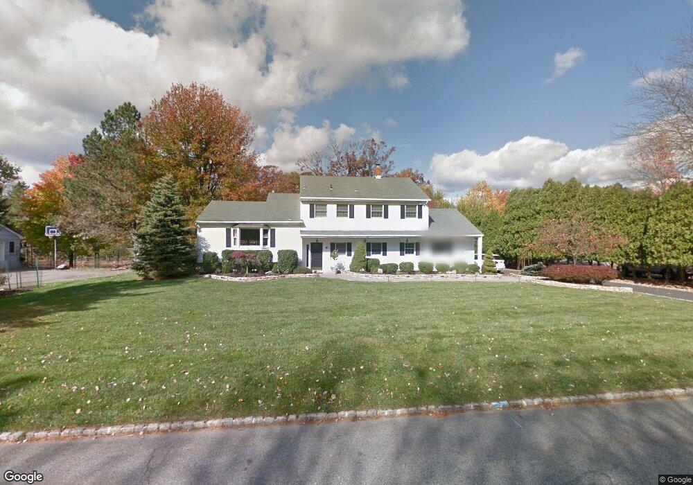
61 Meadowbrook Rd Randolph, NJ 07869
Estimated Value: $994,000 - $1,133,000
--
Bed
--
Bath
3,669
Sq Ft
$282/Sq Ft
Est. Value
About This Home
This home is located at 61 Meadowbrook Rd, Randolph, NJ 07869 and is currently estimated at $1,034,631, approximately $281 per square foot. 61 Meadowbrook Rd is a home located in Morris County with nearby schools including Randolph High School and Randolph Middle School.
Ownership History
Date
Name
Owned For
Owner Type
Purchase Details
Closed on
Feb 27, 2006
Sold by
Deleo Michael A
Bought by
Yissachar Ori and Levy Jodi L
Current Estimated Value
Home Financials for this Owner
Home Financials are based on the most recent Mortgage that was taken out on this home.
Original Mortgage
$478,000
Outstanding Balance
$269,986
Interest Rate
6.16%
Estimated Equity
$764,645
Purchase Details
Closed on
Jul 20, 1996
Sold by
Mason Alice Ann
Bought by
Deleo Michael A and Deleo Virginia M
Home Financials for this Owner
Home Financials are based on the most recent Mortgage that was taken out on this home.
Original Mortgage
$207,000
Interest Rate
8.24%
Create a Home Valuation Report for This Property
The Home Valuation Report is an in-depth analysis detailing your home's value as well as a comparison with similar homes in the area
Home Values in the Area
Average Home Value in this Area
Purchase History
| Date | Buyer | Sale Price | Title Company |
|---|---|---|---|
| Yissachar Ori | $698,000 | -- | |
| Deleo Michael A | $308,500 | -- |
Source: Public Records
Mortgage History
| Date | Status | Borrower | Loan Amount |
|---|---|---|---|
| Open | Yissachar Ori | $478,000 | |
| Previous Owner | Deleo Michael A | $207,000 |
Source: Public Records
Tax History Compared to Growth
Tax History
| Year | Tax Paid | Tax Assessment Tax Assessment Total Assessment is a certain percentage of the fair market value that is determined by local assessors to be the total taxable value of land and additions on the property. | Land | Improvement |
|---|---|---|---|---|
| 2025 | $18,300 | $646,400 | $278,700 | $367,700 |
| 2024 | $17,841 | $646,400 | $278,700 | $367,700 |
| 2023 | $17,841 | $646,400 | $278,700 | $367,700 |
| 2022 | $17,143 | $646,400 | $278,700 | $367,700 |
| 2021 | $17,143 | $646,400 | $278,700 | $367,700 |
| 2020 | $14,335 | $546,100 | $278,700 | $267,400 |
| 2019 | $14,171 | $546,100 | $278,700 | $267,400 |
| 2018 | $13,991 | $546,100 | $278,700 | $267,400 |
| 2017 | $13,816 | $546,100 | $278,700 | $267,400 |
| 2016 | $13,066 | $357,000 | $157,200 | $199,800 |
| 2015 | $12,909 | $357,000 | $157,200 | $199,800 |
| 2014 | $12,709 | $357,000 | $157,200 | $199,800 |
Source: Public Records
Map
Nearby Homes
- 59 Meadowbrook Rd
- 63 Meadowbrook Rd
- 20 Beaver Dam Rd
- 22 Beaver Dam Rd
- 40 Meadowbrook Rd
- 38 Meadowbrook Rd
- 18 Beaver Dam Rd
- 57 Meadowbrook Rd
- 1 Overbrook Rd
- 24 Beaver Dam Rd
- 67 Meadowbrook Rd
- 4 Rockledge Rd
- 55 Meadowbrook Rd
- 42 Meadowbrook Rd
- 16 Beaver Dam Rd
- 3 Overbrook Rd
- 26 Beaver Dam Rd
- 15 Beaver Dam Rd
- 17 Beaver Dam Rd
- 44 Meadowbrook Rd