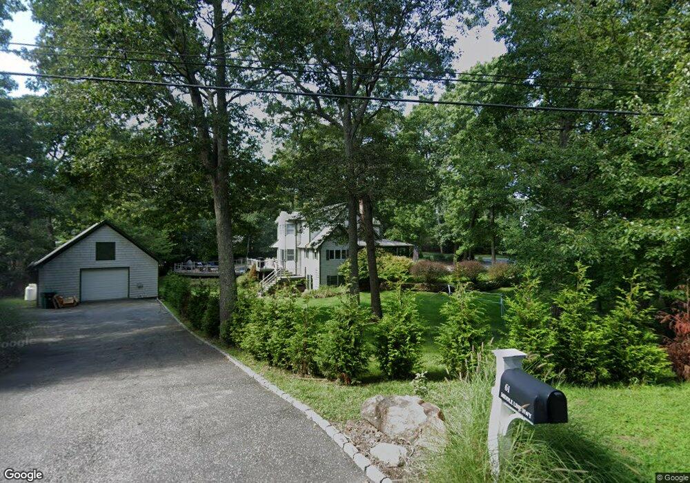
61 Middle Line Hwy Southampton, NY 11968
Estimated Value: $1,573,000 - $1,829,000
3
Beds
4
Baths
2,010
Sq Ft
$851/Sq Ft
Est. Value
About This Home
This home is located at 61 Middle Line Hwy, Southampton, NY 11968 and is currently estimated at $1,709,770, approximately $850 per square foot. 61 Middle Line Hwy is a home located in Suffolk County with nearby schools including Southampton Elementary School, Southampton Intermediate School, and Southampton High School.
Ownership History
Date
Name
Owned For
Owner Type
Purchase Details
Closed on
Apr 19, 2024
Sold by
Ryan James M
Bought by
Lese Shawn and Lese Gabrielle
Current Estimated Value
Home Financials for this Owner
Home Financials are based on the most recent Mortgage that was taken out on this home.
Original Mortgage
$1,372,000
Outstanding Balance
$1,348,271
Interest Rate
6.1%
Mortgage Type
Purchase Money Mortgage
Estimated Equity
$361,499
Purchase Details
Closed on
Jun 13, 2000
Sold by
Murphy Judith Ryan and Ryan James M
Bought by
Ryan James M
Create a Home Valuation Report for This Property
The Home Valuation Report is an in-depth analysis detailing your home's value as well as a comparison with similar homes in the area
Home Values in the Area
Average Home Value in this Area
Purchase History
| Date | Buyer | Sale Price | Title Company |
|---|---|---|---|
| Lese Shawn | $1,715,000 | None Available | |
| Ryan James M | -- | Lawyers Title Insurance Corp |
Source: Public Records
Mortgage History
| Date | Status | Borrower | Loan Amount |
|---|---|---|---|
| Open | Lese Shawn | $1,372,000 |
Source: Public Records
Tax History Compared to Growth
Tax History
| Year | Tax Paid | Tax Assessment Tax Assessment Total Assessment is a certain percentage of the fair market value that is determined by local assessors to be the total taxable value of land and additions on the property. | Land | Improvement |
|---|---|---|---|---|
| 2024 | $3,916 | $953,400 | $430,700 | $522,700 |
| 2023 | $3,916 | $891,400 | $430,700 | $460,700 |
| 2022 | $3,312 | $891,400 | $430,700 | $460,700 |
| 2021 | $3,312 | $891,400 | $430,700 | $460,700 |
| 2020 | $3,717 | $891,400 | $430,700 | $460,700 |
| 2019 | $3,717 | $0 | $0 | $0 |
| 2018 | -- | $856,800 | $430,700 | $426,100 |
| 2017 | $3,675 | $814,200 | $430,700 | $383,500 |
| 2016 | $3,210 | $687,500 | $325,400 | $362,100 |
| 2015 | -- | $687,500 | $325,400 | $362,100 |
| 2014 | -- | $687,500 | $325,400 | $362,100 |
Source: Public Records
Map
Nearby Homes
- 86 Roses Grove Rd
- 165 Roses Grove Rd
- 116 Middle Line Hwy
- 6 Ocean View Pkwy
- 22 Old Trail Rd
- 35 Lohan Ct
- 43 Lohan Ct
- 11 Deer Trail Rd
- 44 Ocean View Pkwy
- 14 Oak Grove Rd
- 94 Tanager Ln
- 26 Pine Tree Rd
- 6 Trail Ct
- 22 Fern Rd
- 37 Peconic Bay Ave
- 8 Woody Ct
- 22 Bay View Rd W
- 40 Highlands Dr
- 11 Path End Ct
- 493 Water Mill Towd Rd
- 8 Widener Ln
- 51 Middle Line Hwy
- 114 Roses Grove Rd
- 131 Roses Grove Rd
- 354 Middle Line Hwy
- 12 Widener Ln
- 141 Roses Grove Rd
- 11 Widener Ln
- 55 Roses Grove Rd
- 16 Widener Ln
- 60 Middle Line Hwy
- 148 Roses Grove Rd
- 145 Roses Grove Rd
- 10 W Hills Ct
- 19 Widener Ln
- 20 Widener Ln
- 102 Roses Grove Rd
- 81 Middle Line Hwy
- 54 Middle Line Hwy
- 96 Roses Grove Rd