61 Navajo Cir Divide, CO 80814
Estimated Value: $297,000 - $387,037
1
Bed
1
Bath
512
Sq Ft
$698/Sq Ft
Est. Value
About This Home
This home is located at 61 Navajo Cir, Divide, CO 80814 and is currently estimated at $357,259, approximately $697 per square foot. 61 Navajo Cir is a home with nearby schools including Woodland Park Junior/Senior High School and Merit Academy.
Ownership History
Date
Name
Owned For
Owner Type
Purchase Details
Closed on
Oct 10, 2023
Sold by
Mazone Pamela Ann and Mazone Anthony M
Bought by
Harness John and Harness Joanna
Current Estimated Value
Home Financials for this Owner
Home Financials are based on the most recent Mortgage that was taken out on this home.
Original Mortgage
$376,012
Outstanding Balance
$367,324
Interest Rate
7.18%
Mortgage Type
VA
Estimated Equity
-$10,065
Purchase Details
Closed on
Sep 25, 2023
Sold by
Tmcco Llc
Bought by
Mazone Pamela Ann and Mazone Anthony M
Home Financials for this Owner
Home Financials are based on the most recent Mortgage that was taken out on this home.
Original Mortgage
$376,012
Outstanding Balance
$367,324
Interest Rate
7.18%
Mortgage Type
VA
Estimated Equity
-$10,065
Purchase Details
Closed on
Feb 11, 2011
Sold by
Erfurdt Sandra Sandi
Bought by
Sherwood Scott Dubberley
Create a Home Valuation Report for This Property
The Home Valuation Report is an in-depth analysis detailing your home's value as well as a comparison with similar homes in the area
Home Values in the Area
Average Home Value in this Area
Purchase History
| Date | Buyer | Sale Price | Title Company |
|---|---|---|---|
| Harness John | $400,000 | First American Title | |
| Mazone Pamela Ann | -- | None Listed On Document | |
| Sherwood Scott Dubberley | -- | None Available |
Source: Public Records
Mortgage History
| Date | Status | Borrower | Loan Amount |
|---|---|---|---|
| Open | Harness John | $376,012 |
Source: Public Records
Tax History
| Year | Tax Paid | Tax Assessment Tax Assessment Total Assessment is a certain percentage of the fair market value that is determined by local assessors to be the total taxable value of land and additions on the property. | Land | Improvement |
|---|---|---|---|---|
| 2024 | $1,460 | $15,380 | $1,964 | $13,416 |
| 2023 | $956 | $15,380 | $1,960 | $13,420 |
| 2022 | $928 | $16,550 | $1,620 | $14,930 |
| 2021 | $956 | $17,020 | $1,660 | $15,360 |
| 2020 | $805 | $14,640 | $1,830 | $12,810 |
| 2019 | $456 | $8,390 | $0 | $0 |
| 2018 | $652 | $11,640 | $0 | $0 |
| 2017 | $654 | $11,640 | $0 | $0 |
| 2016 | $624 | $11,070 | $0 | $0 |
| 2015 | $449 | $7,090 | $0 | $0 |
| 2014 | $554 | $8,640 | $0 | $0 |
Source: Public Records
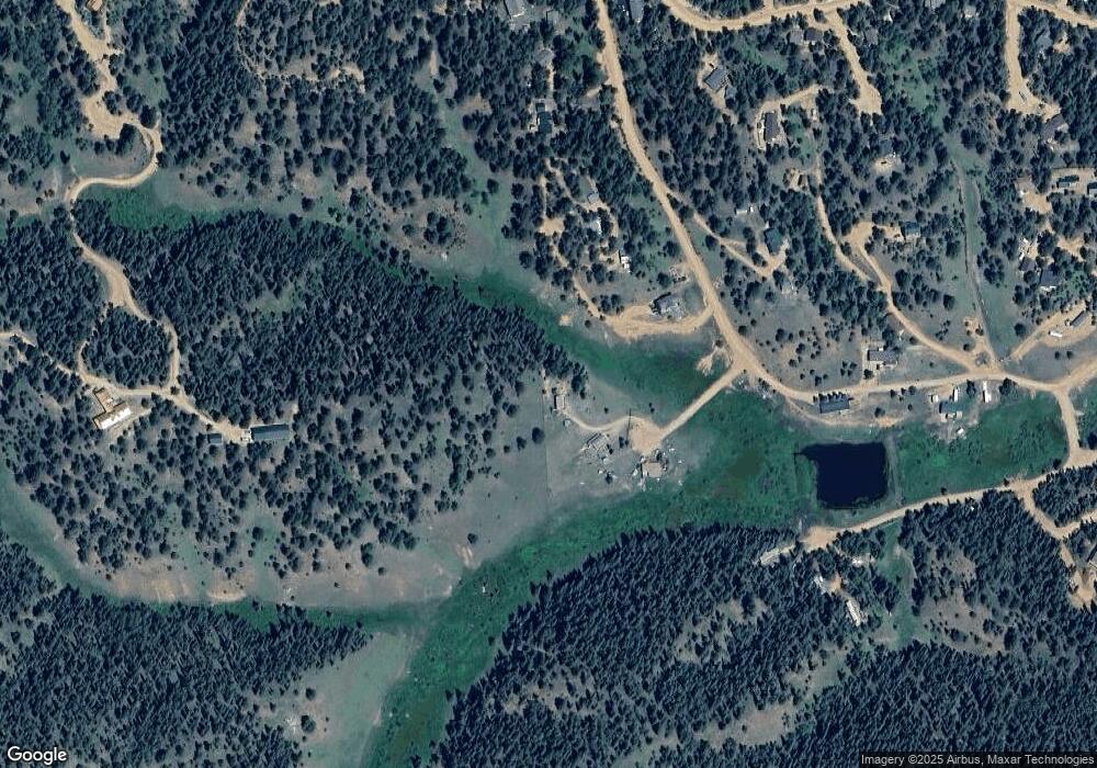
Map
Nearby Homes
- 566 Spring Valley Dr
- 209 Kenosha Cir
- 860 Spring Valley Dr Unit 13
- 832 Spring Valley Dr
- 810 Ridge Rd
- 170 Ridge Rd
- 377 Ridge Rd
- 702 Lake Dr
- 4076 Omer Ln
- 112 Blue Jay Ln
- 112 Blue Jay Ln
- 56 Blue Jay Ln
- 85 Remwood Cir
- 47 Aspen Rd
- 310 Blossom Rd
- 358 Fern Rd
- 237 Columbine Rd
- 374 Fern Rd
- 169 Evergreen Rd
- 169 Daisy St
- 76 Navajo Cir
- 257 Shadow Lake Dr
- 257 Shadow Lake Dr Unit 5
- 157 Shadow Lake Dr
- 238 Shadow Lake Dr
- 114 Apache Trail
- 353 Shadow Lake Dr
- 74 Apache Trail
- 354 Shadow Lake Dr
- 385 Shadow Lake Dr
- 616 Spring Valley Dr
- 87 Apache Trail Unit 55054116
- 87 Apache Trail
- 65 Shadow Lake Dr
- 417 Shadow Lake Dr
- 68 Cherokee Cir
- 45 Valley Cir
- 93 Valley Cir
- 36 Apache Trail
- 69 Valley Cir
Your Personal Tour Guide
Ask me questions while you tour the home.