61 Old Nugent Farm Rd Gloucester, MA 01930
East Gloucester NeighborhoodEstimated Value: $944,000 - $1,109,972
3
Beds
3
Baths
2,854
Sq Ft
$371/Sq Ft
Est. Value
About This Home
This home is located at 61 Old Nugent Farm Rd, Gloucester, MA 01930 and is currently estimated at $1,059,243, approximately $371 per square foot. 61 Old Nugent Farm Rd is a home located in Essex County with nearby schools including East Gloucester Elementary School, Ralph B O'maley Middle School, and Gloucester High School.
Ownership History
Date
Name
Owned For
Owner Type
Purchase Details
Closed on
May 26, 2020
Sold by
Bidwell Judith A and Bidwell Theodore H
Bought by
Bidwell 2020 Nt
Current Estimated Value
Purchase Details
Closed on
Dec 10, 2002
Sold by
Barnes Eugene and Barnes Kathleen
Bought by
Bidwell Theodore H and Bidwell Judith Ann
Home Financials for this Owner
Home Financials are based on the most recent Mortgage that was taken out on this home.
Original Mortgage
$376,000
Interest Rate
6.34%
Mortgage Type
Purchase Money Mortgage
Purchase Details
Closed on
Apr 16, 1993
Sold by
Old Nugent Farm Tr and Mcniff John D
Bought by
Barnes Eugene and Barnes Kathleen
Create a Home Valuation Report for This Property
The Home Valuation Report is an in-depth analysis detailing your home's value as well as a comparison with similar homes in the area
Home Values in the Area
Average Home Value in this Area
Purchase History
| Date | Buyer | Sale Price | Title Company |
|---|---|---|---|
| Bidwell 2020 Nt | -- | None Available | |
| Bidwell Theodore H | $529,000 | -- | |
| Barnes Eugene | $240,000 | -- |
Source: Public Records
Mortgage History
| Date | Status | Borrower | Loan Amount |
|---|---|---|---|
| Previous Owner | Barnes Eugene | $472,000 | |
| Previous Owner | Barnes Eugene | $376,000 | |
| Previous Owner | Barnes Eugene | $100,000 | |
| Previous Owner | Barnes Eugene | $227,000 |
Source: Public Records
Tax History Compared to Growth
Tax History
| Year | Tax Paid | Tax Assessment Tax Assessment Total Assessment is a certain percentage of the fair market value that is determined by local assessors to be the total taxable value of land and additions on the property. | Land | Improvement |
|---|---|---|---|---|
| 2025 | $8,665 | $890,500 | $0 | $890,500 |
| 2024 | $8,665 | $890,500 | $0 | $890,500 |
| 2023 | $8,321 | $785,700 | $0 | $785,700 |
| 2022 | $8,355 | $712,300 | $0 | $712,300 |
| 2021 | $8,340 | $670,400 | $0 | $670,400 |
| 2020 | $8,357 | $677,800 | $0 | $677,800 |
| 2019 | $7,974 | $628,400 | $0 | $628,400 |
| 2018 | $7,978 | $617,000 | $0 | $617,000 |
| 2017 | $7,952 | $602,900 | $0 | $602,900 |
| 2016 | $7,559 | $555,400 | $0 | $555,400 |
| 2015 | $7,574 | $554,900 | $0 | $554,900 |
Source: Public Records
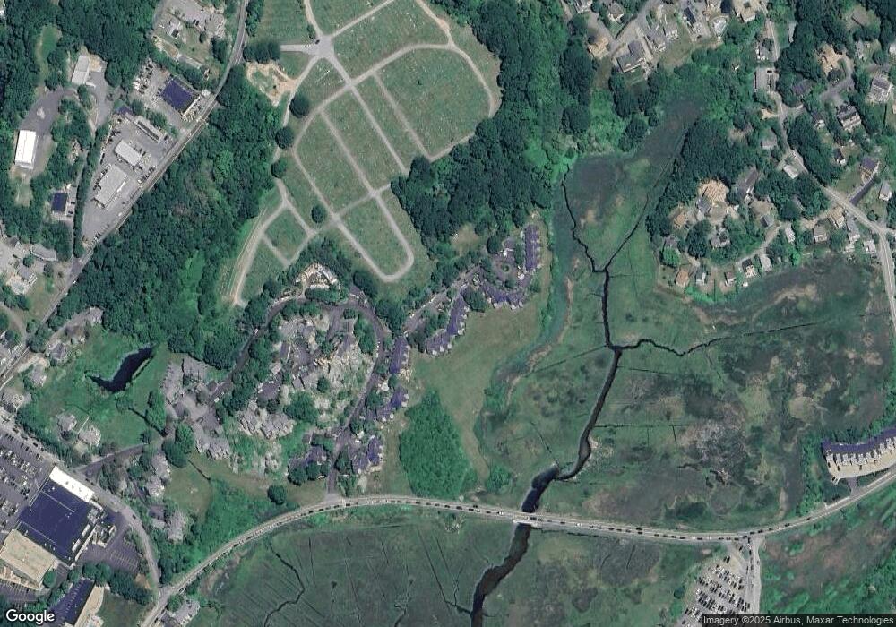
Map
Nearby Homes
- 10 Old Nugent Farm Rd
- 8 Barn Ln
- 32 Witham St Unit B
- 112 Eastern Ave
- 2 Mallard Way
- 73 Eastern Ave
- 29 Harrison Ave
- 160 Thatcher Rd
- 11 Crestview Terrace
- 69 E Main St Unit 1
- 87 Atlantic Rd Unit 2
- 9 Rocky Pasture Rd
- 2 Stanwood Terrace
- 52 Taylor St
- 97 E Main St
- 100 E Main St
- 24 Taylor St Unit 1
- 30 Chapel St Unit B
- 150 Prospect St Unit 3
- 300 Main St
- 62 Old Nugent Farm Rd
- 60 Old Nugent Farm Rd
- 59 Old Nugent Farm Rd
- 58 Old Nugent Farm Rd
- 56 Old Nugent Farm Rd
- 67 Old Nugent Farm Rd
- 65 Old Nugent Farm Rd
- 64 Old Nugent Farm Rd
- 65 Old Nugent Farm Rd Unit 65
- 64 Old Nugent Farm Rd Unit 64
- 47 Old Nugent Farm Rd
- 46 Old Nugent Farm Rd
- 45 Old Nugent Farm Rd
- 44 Old Nugent Farm Rd
- 47 Old Nugent Farm Rd Unit 47
- 72 Old Nugent Farm Rd
- 71 Old Nugent Farm Rd
- 70 Old Nugent Farm Rd
- 69 Old Nugent Farm Rd
- 68 Old Nugent Farm Rd