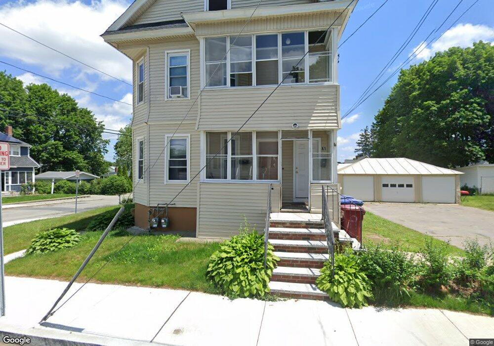
61 Orchard St Unit 2 Lowell, MA 01854
Pawtucketville NeighborhoodEstimated Value: $614,000 - $805,000
3
Beds
1
Bath
2,642
Sq Ft
$275/Sq Ft
Est. Value
About This Home
This home is located at 61 Orchard St Unit 2, Lowell, MA 01854 and is currently estimated at $725,641, approximately $274 per square foot. 61 Orchard St Unit 2 is a home located in Middlesex County with nearby schools including Joseph McAvinnue Elementary School, Charlotte M. Murkland Elementary School, and Charles W. Morey Elementary School.
Ownership History
Date
Name
Owned For
Owner Type
Purchase Details
Closed on
Jul 6, 2004
Sold by
Nadeau Celeste M and Nadeau Joseph A
Bought by
Orchard Rt and Nadeau
Current Estimated Value
Create a Home Valuation Report for This Property
The Home Valuation Report is an in-depth analysis detailing your home's value as well as a comparison with similar homes in the area
Home Values in the Area
Average Home Value in this Area
Purchase History
| Date | Buyer | Sale Price | Title Company |
|---|---|---|---|
| Orchard Rt | -- | -- | |
| Orchard Rt | -- | -- |
Source: Public Records
Mortgage History
| Date | Status | Borrower | Loan Amount |
|---|---|---|---|
| Open | Orchard Rt | $265,092 | |
| Previous Owner | Orchard Rt | $178,500 | |
| Previous Owner | Orchard Rt | $75,000 |
Source: Public Records
Tax History Compared to Growth
Tax History
| Year | Tax Paid | Tax Assessment Tax Assessment Total Assessment is a certain percentage of the fair market value that is determined by local assessors to be the total taxable value of land and additions on the property. | Land | Improvement |
|---|---|---|---|---|
| 2025 | $7,471 | $650,800 | $156,600 | $494,200 |
| 2024 | $6,710 | $563,400 | $126,300 | $437,100 |
| 2023 | $6,162 | $496,100 | $103,100 | $393,000 |
| 2022 | $5,670 | $446,800 | $91,300 | $355,500 |
| 2021 | $5,262 | $390,900 | $79,500 | $311,400 |
| 2020 | $5,210 | $390,000 | $102,800 | $287,200 |
| 2019 | $4,733 | $337,100 | $90,300 | $246,800 |
| 2018 | $4,419 | $307,100 | $86,000 | $221,100 |
| 2017 | $4,179 | $280,100 | $78,200 | $201,900 |
| 2016 | $4,186 | $276,100 | $76,100 | $200,000 |
| 2015 | $3,830 | $247,400 | $72,800 | $174,600 |
| 2013 | $3,424 | $228,100 | $80,400 | $147,700 |
Source: Public Records
Map
Nearby Homes
- 25 W 5th Ave
- 1 Coburn Ct
- 89 Mammoth Rd
- 10 3rd Ave
- 199 Mammoth Rd
- 30 4th Ave
- 54 Mount Grove St
- 46 2nd Ave
- 49 Tolman Ave
- 58 2nd Ave
- 81 5th Ave
- 390 Pawtucket St Unit 1
- 61 7th Ave W
- 79 School St Unit 3
- 79 School St Unit 1
- 79 School St Unit 2
- 113 5th Ave
- 70 Pawtucket Dr
- 33 W Meadow Rd
- 113 School St Unit 12
- 61 Orchard St
- 120 Woodward Ave
- 62 Orchard St
- 125 Woodward Ave
- 135 Woodward Ave
- 129 Woodward Ave
- 117 Woodward Ave
- 62 Starbird St
- 54 Orchard St
- 47 Orchard St
- 47 Orchard St Unit 2
- 56 Starbird St
- 141 Woodward Ave Unit 1
- 141 Woodward Ave
- 141 Woodward Ave Unit 141
- 139 Woodward Ave
- 139 Woodward Ave Unit 1
- 139 Woodward Ave Unit A
- 54 Starbird St
- 141 A Woodward Ave Unit A