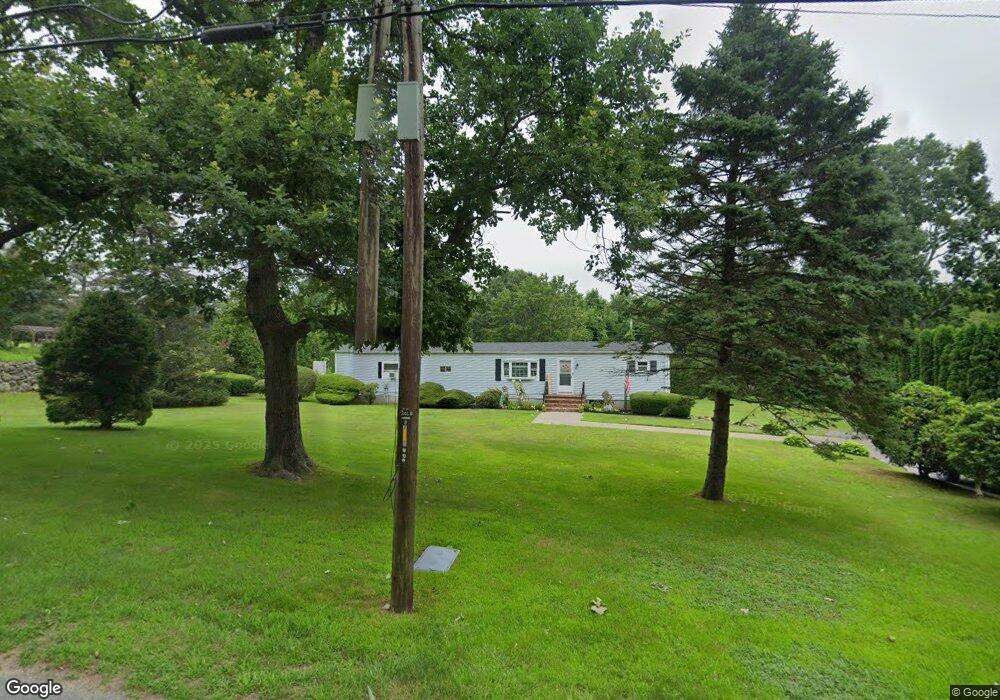
61 Perry Hill Rd Acushnet, MA 02743
Upper Acushnet NeighborhoodEstimated Value: $452,399 - $514,000
--
Bed
--
Bath
1,004
Sq Ft
$482/Sq Ft
Est. Value
About This Home
This home is located at 61 Perry Hill Rd, Acushnet, MA 02743 and is currently estimated at $483,850, approximately $481 per square foot. 61 Perry Hill Rd is a home with nearby schools including Acushnet Elementary School, Albert F Ford Middle School, and St Francis Xavier Elementary School.
Ownership History
Date
Name
Owned For
Owner Type
Purchase Details
Closed on
Oct 11, 2013
Sold by
Jones Stacy A
Bought by
Jones Robert E
Current Estimated Value
Purchase Details
Closed on
Jun 27, 1986
Bought by
Jones Robert E
Create a Home Valuation Report for This Property
The Home Valuation Report is an in-depth analysis detailing your home's value as well as a comparison with similar homes in the area
Home Values in the Area
Average Home Value in this Area
Purchase History
| Date | Buyer | Sale Price | Title Company |
|---|---|---|---|
| Jones Robert E | -- | -- | |
| Jones Robert E | -- | -- |
Source: Public Records
Mortgage History
| Date | Status | Borrower | Loan Amount |
|---|---|---|---|
| Previous Owner | Jones Robert E | $60,000 |
Source: Public Records
Tax History Compared to Growth
Tax History
| Year | Tax Paid | Tax Assessment Tax Assessment Total Assessment is a certain percentage of the fair market value that is determined by local assessors to be the total taxable value of land and additions on the property. | Land | Improvement |
|---|---|---|---|---|
| 2025 | $39 | $362,200 | $141,600 | $220,600 |
| 2024 | $3,745 | $328,200 | $134,200 | $194,000 |
| 2023 | $3,618 | $301,500 | $121,800 | $179,700 |
| 2022 | $3,607 | $271,800 | $114,300 | $157,500 |
| 2021 | $3,484 | $251,900 | $114,300 | $137,600 |
| 2020 | $3,407 | $244,400 | $106,800 | $137,600 |
| 2019 | $3,298 | $232,600 | $101,900 | $130,700 |
| 2018 | $3,206 | $222,300 | $101,900 | $120,400 |
| 2017 | $3,097 | $214,500 | $101,900 | $112,600 |
| 2016 | $3,045 | $209,600 | $101,900 | $107,700 |
| 2015 | $2,897 | $202,900 | $101,900 | $101,000 |
Source: Public Records
Map
Nearby Homes
- 661 Main St
- 715 Main St
- 731 Main St
- 489 Main St
- 286 Mendall Rd
- 0 Confidential Way Unit 73340085
- 363 Main St
- 219 Leonard St
- 649 Middle Rd
- 25 Pershing Ave
- 273 Main St
- 16 Brookside Dr
- 13 Green Meadow Dr
- 16 Morses Ln
- 7 Morses Ln
- 52 Pershing Ave
- 67 Morses Ln
- 33 Harbeck St
- 5 Fairway Dr
- 225 Mattapoisett Rd
- 63 Perry Hill Rd
- 60 Perry Hill Rd
- 58 Perry Hill Rd
- 57 Perry Hill Rd
- 55 Perry Hill Rd
- 11 Mendall Rd
- 25 Mendall Rd
- 53 Perry Hill Rd
- 80 Perry Hill Rd
- 70 Perry Hill Rd
- 20 Mendall Rd
- 52 Perry Hill Rd
- 90 Perry Hill Rd
- 22 Mendall Rd
- 27 Mendall Rd
- 44 Perry Hill Rd
- 31 Mendall Rd
- 123 Perry Hill Rd
- 35 Perry Hill Rd
- 36 Perry Hill Rd