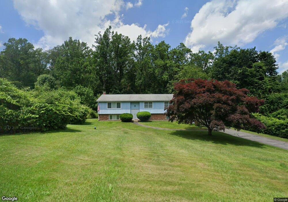
61 Rees Dr Oxford, CT 06478
Estimated Value: $430,000 - $535,000
3
Beds
2
Baths
1,346
Sq Ft
$349/Sq Ft
Est. Value
About This Home
This home is located at 61 Rees Dr, Oxford, CT 06478 and is currently estimated at $469,223, approximately $348 per square foot. 61 Rees Dr is a home located in New Haven County with nearby schools including Quaker Farms School, Oxford Middle School, and Oxford High School.
Create a Home Valuation Report for This Property
The Home Valuation Report is an in-depth analysis detailing your home's value as well as a comparison with similar homes in the area
Home Values in the Area
Average Home Value in this Area
Tax History
| Year | Tax Paid | Tax Assessment Tax Assessment Total Assessment is a certain percentage of the fair market value that is determined by local assessors to be the total taxable value of land and additions on the property. | Land | Improvement |
|---|---|---|---|---|
| 2025 | $4,926 | $246,190 | $73,570 | $172,620 |
| 2024 | $4,455 | $172,600 | $75,300 | $97,300 |
| 2023 | $4,230 | $172,600 | $75,300 | $97,300 |
| 2022 | $4,205 | $172,600 | $75,300 | $97,300 |
| 2021 | $3,970 | $172,600 | $75,300 | $97,300 |
| 2020 | $4,198 | $176,100 | $75,300 | $100,800 |
| 2019 | $4,198 | $176,100 | $75,300 | $100,800 |
| 2018 | $4,059 | $176,100 | $75,300 | $100,800 |
| 2017 | $3,911 | $176,100 | $75,300 | $100,800 |
| 2016 | $4,263 | $176,100 | $75,300 | $100,800 |
| 2015 | $4,503 | $180,400 | $75,300 | $105,100 |
| 2014 | $4,487 | $180,400 | $75,300 | $105,100 |
Source: Public Records
Map
Nearby Homes
- 58 Bee Mountain Rd
- 46 Moose Hill Rd
- 151 Great Hill Rd
- 215 Meadow Brook Rd Unit 215
- 22 Frances Dr
- 30 Fairfield Rd
- 312 Spruce Hill Dr
- 6 Park Rd
- 76 Dorman Rd
- 0 Hill East Rd Unit 24131331
- 185 Quaker Farms Rd
- 11 Oxford Rd
- 75 Balance Rock Rd Unit 20
- 42 Greenwood Cir
- 57 Balance Rock Rd Unit 17
- 41 Balance Rock Rd Unit 16
- 43 Balance Rock Rd Unit 1
- 78 Hillside Dr
- 205 West Rd
- 93 Balance Rock Rd Unit 1
Your Personal Tour Guide
Ask me questions while you tour the home.