61 S Atlantic Ave Chepachet, RI 02814
Estimated Value: $823,824 - $1,025,000
2
Beds
2
Baths
3,034
Sq Ft
$295/Sq Ft
Est. Value
About This Home
This home is located at 61 S Atlantic Ave, Chepachet, RI 02814 and is currently estimated at $895,706, approximately $295 per square foot. 61 S Atlantic Ave is a home located in Providence County with nearby schools including West Glocester Elementary School, Ponaganset Middle School, and Ponaganset High School.
Ownership History
Date
Name
Owned For
Owner Type
Purchase Details
Closed on
Sep 28, 2005
Sold by
Sutherland George and Sutherland Kathleen
Bought by
Shaw Jeannine
Current Estimated Value
Home Financials for this Owner
Home Financials are based on the most recent Mortgage that was taken out on this home.
Original Mortgage
$457,500
Interest Rate
5.84%
Mortgage Type
Purchase Money Mortgage
Purchase Details
Closed on
Jun 22, 1999
Sold by
Macera William and Macera Carmelina
Bought by
Sutherland George C and Sutherland Kathleen
Purchase Details
Closed on
Apr 4, 1989
Sold by
Gryncewicz Frank P
Bought by
Macera Michael A
Create a Home Valuation Report for This Property
The Home Valuation Report is an in-depth analysis detailing your home's value as well as a comparison with similar homes in the area
Home Values in the Area
Average Home Value in this Area
Purchase History
| Date | Buyer | Sale Price | Title Company |
|---|---|---|---|
| Shaw Jeannine | $707,500 | -- | |
| Sutherland George C | $421,000 | -- | |
| Macera Michael A | $507,000 | -- |
Source: Public Records
Mortgage History
| Date | Status | Borrower | Loan Amount |
|---|---|---|---|
| Open | Macera Michael A | $417,000 | |
| Closed | Macera Michael A | $457,500 | |
| Previous Owner | Macera Michael A | $273,400 | |
| Previous Owner | Macera Michael A | $275,000 |
Source: Public Records
Tax History Compared to Growth
Tax History
| Year | Tax Paid | Tax Assessment Tax Assessment Total Assessment is a certain percentage of the fair market value that is determined by local assessors to be the total taxable value of land and additions on the property. | Land | Improvement |
|---|---|---|---|---|
| 2025 | $11,029 | $773,400 | $261,500 | $511,900 |
| 2024 | $10,719 | $773,400 | $261,500 | $511,900 |
| 2023 | $11,021 | $773,400 | $261,500 | $511,900 |
| 2022 | $8,350 | $557,500 | $186,800 | $370,700 |
| 2021 | $10,280 | $557,500 | $186,800 | $370,700 |
| 2020 | $10,158 | $557,500 | $186,800 | $370,700 |
| 2018 | $9,534 | $476,700 | $186,800 | $289,900 |
| 2017 | $9,484 | $480,700 | $186,800 | $293,900 |
| 2016 | $8,942 | $398,300 | $148,500 | $249,800 |
| 2015 | $8,810 | $398,300 | $148,500 | $249,800 |
| 2014 | $8,671 | $398,300 | $148,500 | $249,800 |
| 2013 | $9,293 | $437,500 | $169,900 | $267,600 |
Source: Public Records
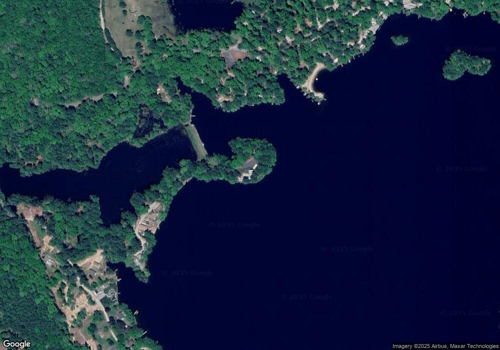
Map
Nearby Homes
- 5 Lees Ln
- 2267 Putnam Pike
- 193 Lake Washington Dr
- 96 Rodgers Rd
- 309 E Putnam Rd
- 147 Kelly Rd
- 116 E Putnam Rd
- 93 E Putnam Rd
- 160 Munyan Rd
- 388 Wilson Trail
- 17 Green Island
- 0 Stag Head Dr Unit 1380191
- 325 Lake Dr
- 62 Centre Rd
- 29 Round Lake Dr
- 490 Court House Ln
- 809 Providence Pike
- 50 Round Lake Dr
- 0 Beach Rd
- 972 Reynolds Rd
- 44 S Atlantic Ave
- 35 S Atlantic Ave
- 45 Safari Rd
- 29 S Atlantic Ave
- 21 S Atlantic Ave
- 25 Safari Rd
- 6 S Atlantic Ave
- 39 Richardson Clearing Trail
- 31 Richardson Clearing Trail
- 25 Richardson Clearing Trail
- 2409 Putnam Pike
- 45 Richardson Clearing Trail
- 19 Richardson Clearing Trail
- 13 Veneziano Dr
- 10 Roberge Way
- 2399 Putnam Pike
- 34 Richardson Clearing Trail
- 48 Richardson Clearing Trail
- 1 Veneziano Dr
- 6 Bowdish Way