61 S Main St Unit 107 Jewett City, CT 06351
Estimated Value: $263,000 - $303,000
2
Beds
2
Baths
1,510
Sq Ft
$183/Sq Ft
Est. Value
About This Home
This home is located at 61 S Main St Unit 107, Jewett City, CT 06351 and is currently estimated at $276,626, approximately $183 per square foot. 61 S Main St Unit 107 is a home located in New London County with nearby schools including Griswold Elementary School, Griswold Middle School, and Griswold High School.
Ownership History
Date
Name
Owned For
Owner Type
Purchase Details
Closed on
Jun 30, 2011
Sold by
Us Bank Na
Bought by
Lopes Michelle L
Current Estimated Value
Purchase Details
Closed on
Jul 23, 2010
Sold by
Allard Daniel R and Cormier Stephanie R
Bought by
Us Bk
Purchase Details
Closed on
Jun 28, 2007
Sold by
Mew Development Corp
Bought by
Allard Daniel R and Carmier Stephanie R
Home Financials for this Owner
Home Financials are based on the most recent Mortgage that was taken out on this home.
Original Mortgage
$170,000
Interest Rate
6.24%
Create a Home Valuation Report for This Property
The Home Valuation Report is an in-depth analysis detailing your home's value as well as a comparison with similar homes in the area
Home Values in the Area
Average Home Value in this Area
Purchase History
| Date | Buyer | Sale Price | Title Company |
|---|---|---|---|
| Lopes Michelle L | -- | -- | |
| Us Bk | -- | -- | |
| Allard Daniel R | $170,000 | -- |
Source: Public Records
Mortgage History
| Date | Status | Borrower | Loan Amount |
|---|---|---|---|
| Previous Owner | Allard Daniel R | $170,000 |
Source: Public Records
Tax History Compared to Growth
Tax History
| Year | Tax Paid | Tax Assessment Tax Assessment Total Assessment is a certain percentage of the fair market value that is determined by local assessors to be the total taxable value of land and additions on the property. | Land | Improvement |
|---|---|---|---|---|
| 2025 | $3,462 | $112,770 | $0 | $112,770 |
| 2024 | $3,433 | $112,770 | $0 | $112,770 |
| 2023 | $3,266 | $112,770 | $0 | $112,770 |
| 2022 | $3,229 | $112,770 | $0 | $112,770 |
| 2021 | $2,832 | $87,290 | $0 | $87,290 |
| 2020 | $2,834 | $86,940 | $0 | $86,940 |
| 2019 | $2,791 | $86,940 | $0 | $86,940 |
| 2018 | $2,699 | $86,940 | $0 | $86,940 |
| 2017 | $2,690 | $86,940 | $0 | $86,940 |
| 2016 | $2,396 | $76,440 | $0 | $76,440 |
| 2015 | $2,336 | $76,440 | $0 | $76,440 |
| 2014 | $1,828 | $68,810 | $0 | $68,810 |
Source: Public Records
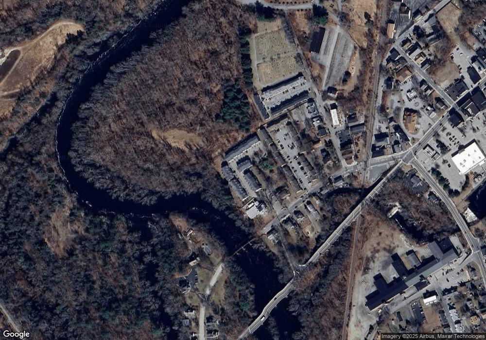
Map
Nearby Homes
- 65 S Main St
- 41 S Main St Unit 51
- 77 Slater Ave Unit 79
- 36 Maple St
- 23 Carely Ave
- 37 Carely Ave
- 112 E Main St
- 11 Lee Rd
- 300 Slater Avenue & 175 Pleasant View Dr
- 13 Central Ave
- 12 William St
- 71 Lake Rd
- 34 Newent Rd
- 38 Sergeants Way
- 108 Phillips Rd
- 576 Voluntown Rd
- 16 Kanahan Rd
- 158 N Burnham Hwy
- 48 Fairview Ave
- 8 Harvest Rd
- 61 S Main St Unit 201
- 61 S Main St Unit 511
- 61 S Main St Unit 304
- 61 S Main St Unit 505
- 61 S Main St Unit 507
- 61 S Main St Unit 202
- 61 S Main St Unit 301
- 61 S Main St Unit 504
- 61 S Main St Unit 506
- 61 S Main St Unit 514
- 61 S Main St Unit 513
- 61 S Main St Unit 512
- 61 S Main St Unit 510
- 61 S Main St Unit 509
- 61 S Main St Unit 508
- 61 S Main St Unit 303
- 61 S Main St Unit 302
- 61 S Main St Unit 503
- 61 S Main St Unit 502
- 61 S Main St Unit 501