Estimated Value: $340,967 - $429,000
1
Bed
2
Baths
832
Sq Ft
$463/Sq Ft
Est. Value
About This Home
This home is located at 61 Saunders Ln, Acton, ME 04001 and is currently estimated at $384,984, approximately $462 per square foot. 61 Saunders Ln is a home located in York County with nearby schools including Acton Elementary School.
Ownership History
Date
Name
Owned For
Owner Type
Purchase Details
Closed on
Dec 27, 2017
Sold by
Qualey Steven A and Qualey Lacey B
Bought by
Bell Travis R and Bell Travis R
Current Estimated Value
Home Financials for this Owner
Home Financials are based on the most recent Mortgage that was taken out on this home.
Original Mortgage
$206,969
Outstanding Balance
$173,886
Interest Rate
3.95%
Mortgage Type
New Conventional
Estimated Equity
$211,098
Purchase Details
Closed on
Apr 2, 2008
Sold by
Chick Justin A
Bought by
Chick Charlotte
Create a Home Valuation Report for This Property
The Home Valuation Report is an in-depth analysis detailing your home's value as well as a comparison with similar homes in the area
Home Values in the Area
Average Home Value in this Area
Purchase History
| Date | Buyer | Sale Price | Title Company |
|---|---|---|---|
| Bell Travis R | -- | -- | |
| Bell Travis R | -- | -- | |
| Bell Travis R | -- | -- | |
| Chick Charlotte | -- | -- | |
| Chick Charlotte | -- | -- |
Source: Public Records
Mortgage History
| Date | Status | Borrower | Loan Amount |
|---|---|---|---|
| Open | Bell Travis R | $206,969 | |
| Closed | Bell Travis R | $206,969 | |
| Previous Owner | Chick Charlotte | $206,400 | |
| Previous Owner | Chick Charlotte | $203,350 |
Source: Public Records
Tax History Compared to Growth
Tax History
| Year | Tax Paid | Tax Assessment Tax Assessment Total Assessment is a certain percentage of the fair market value that is determined by local assessors to be the total taxable value of land and additions on the property. | Land | Improvement |
|---|---|---|---|---|
| 2024 | $1,814 | $256,551 | $74,840 | $181,711 |
| 2023 | $1,655 | $256,551 | $74,840 | $181,711 |
| 2022 | $2,364 | $197,803 | $48,025 | $149,778 |
| 2021 | $2,364 | $197,803 | $48,025 | $149,778 |
| 2020 | $2,384 | $197,803 | $48,025 | $149,778 |
| 2019 | $2,384 | $197,803 | $48,025 | $149,778 |
| 2018 | $2,384 | $197,803 | $48,025 | $149,778 |
| 2017 | $2,354 | $197,803 | $48,025 | $149,778 |
| 2016 | $2,225 | $197,803 | $48,025 | $149,778 |
| 2015 | $2,285 | $197,803 | $48,025 | $149,778 |
| 2014 | $2,196 | $197,803 | $48,025 | $149,778 |
Source: Public Records
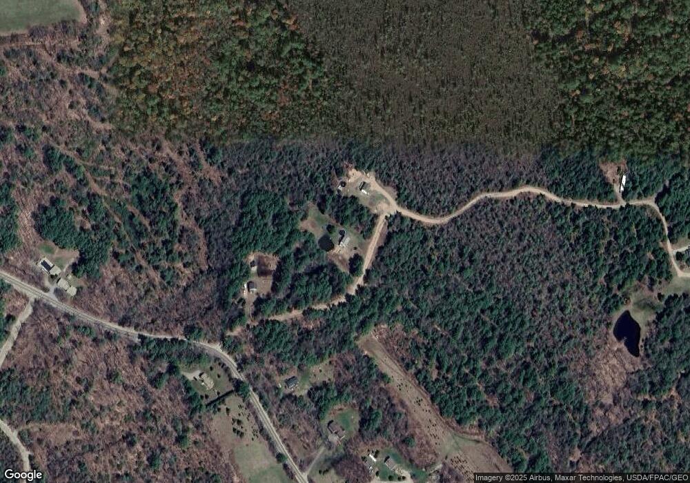
Map
Nearby Homes
- 013 Foxes Ridge Rd
- 1574 Foxes Ridge Rd
- 96 French St
- 44 Main St
- 75 Main St
- 318 Sewell Shores Rd
- 314 Sewell Shores Rd
- 47 Church St
- 247 NE Pond Rd
- Lot 13 Milton Mills Rd
- Lot 19-17 NE Pond Rd
- 0 White Mountain Hwy Unit 5033185
- 564 White Mountain Hwy
- 1451 White Mountain Hwy
- 193 New Bridge Rd
- 660 Hopper Rd
- TBD Hopper
- 638 E Shore Dr
- 209 Loop Rd
- 196 Loop Rd
- 61 Saunders Ln
- 97 Saunders Ln
- 15 Saunders Ln
- 0 Saunders Ln
- Lot19-11 Saunders
- 1187 Foxes Ridge Rd
- 1110 Foxes Ridge Rd
- 1207 Foxes Ridge Rd
- 1219 Foxes Ridge Rd
- 1079 Foxes Ridge Rd
- 1242 Foxes Ridge Rd
- Lot 15 Foxes Ridge Rd
- TBD Foxes Ridge Rd
- 208 Saunders Ln
- 1315 Foxes Ridge Rd
- 1270 Foxes Ridge Rd
- 1058 Foxes Ridge Rd
- 1401 Foxes Ridge Rd
- 1292 Foxes Ridge Rd
- 1328 Foxes Ridge Rd