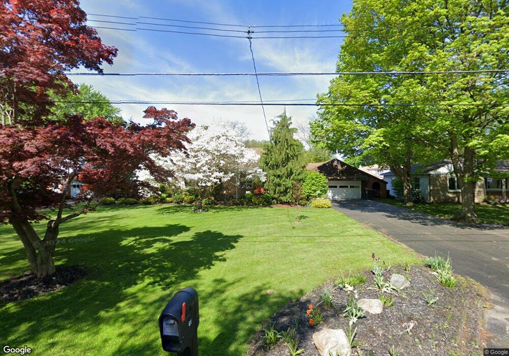
61 Sivon Dr Painesville, OH 44077
Estimated Value: $233,296 - $251,000
3
Beds
2
Baths
1,457
Sq Ft
$166/Sq Ft
Est. Value
About This Home
This home is located at 61 Sivon Dr, Painesville, OH 44077 and is currently estimated at $242,074, approximately $166 per square foot. 61 Sivon Dr is a home located in Lake County with nearby schools including Henry F. Lamuth Middle School, Riverside Junior/Senior High School, and Summit Academy Community School - Painesville.
Ownership History
Date
Name
Owned For
Owner Type
Purchase Details
Closed on
Mar 14, 2003
Sold by
Toth Grace M
Bought by
Toth Grace M
Current Estimated Value
Purchase Details
Closed on
May 30, 2000
Sold by
Whitely Norma M
Bought by
Whitely Norma M and Toth Grace M
Purchase Details
Closed on
Nov 16, 1989
Bought by
Whitely John C
Create a Home Valuation Report for This Property
The Home Valuation Report is an in-depth analysis detailing your home's value as well as a comparison with similar homes in the area
Home Values in the Area
Average Home Value in this Area
Purchase History
| Date | Buyer | Sale Price | Title Company |
|---|---|---|---|
| Toth Grace M | -- | -- | |
| Whitely Norma M | -- | -- | |
| Whitely John C | $90,000 | -- |
Source: Public Records
Tax History Compared to Growth
Tax History
| Year | Tax Paid | Tax Assessment Tax Assessment Total Assessment is a certain percentage of the fair market value that is determined by local assessors to be the total taxable value of land and additions on the property. | Land | Improvement |
|---|---|---|---|---|
| 2024 | -- | $78,950 | $14,210 | $64,740 |
| 2023 | $6,147 | $56,410 | $10,310 | $46,100 |
| 2022 | $2,802 | $56,410 | $10,310 | $46,100 |
| 2021 | $2,812 | $56,410 | $10,310 | $46,100 |
| 2020 | $2,695 | $49,050 | $8,960 | $40,090 |
| 2019 | $2,715 | $49,050 | $8,960 | $40,090 |
| 2018 | $2,724 | $46,380 | $9,010 | $37,370 |
| 2017 | $2,621 | $46,380 | $9,010 | $37,370 |
| 2016 | $2,309 | $46,380 | $9,010 | $37,370 |
| 2015 | $2,155 | $46,380 | $9,010 | $37,370 |
| 2014 | $2,191 | $46,380 | $9,010 | $37,370 |
| 2013 | $2,141 | $46,380 | $9,010 | $37,370 |
Source: Public Records
Map
Nearby Homes
- 269 Hale Rd
- 108 Birch Dr
- 1787 Muirfield Ln
- 808 N Creek Dr
- 634 N Creek Dr
- 1809 Muirfield Ln
- 0 N Ridge Rd Unit 5110949
- 1865 Marsh Ln Unit 1865
- 1978 Marsh Ln Unit 1978
- 720 N Creek Dr
- 728 Bowhall Rd
- 1806 Muirfield Ln
- 1791 Muirfield Ln
- 751 Bacon Rd
- 1788 Kirtstone Terrace
- 547 Greenside Dr
- 1598 Bogie Ln
- 500 Park Rd
- 499 Sand Trap Cir
- 525 Morgan Dr