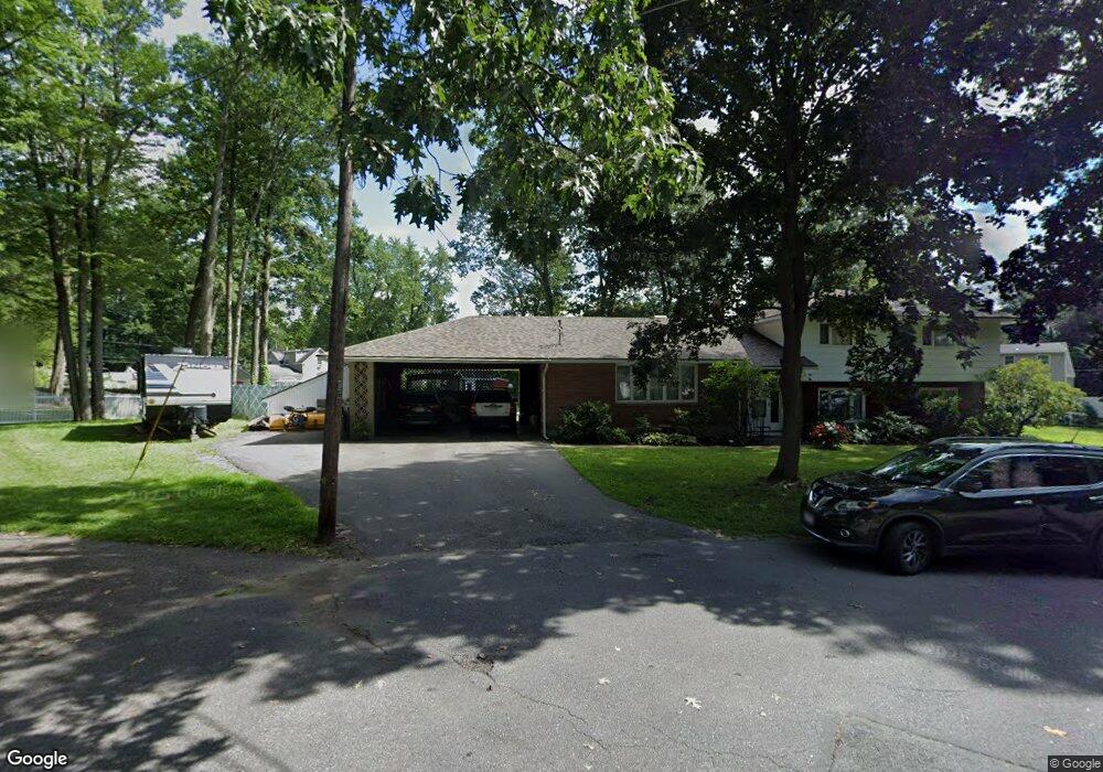
61 Stuart Ct Leominster, MA 01453
Estimated Value: $556,000 - $727,000
4
Beds
3
Baths
2,379
Sq Ft
$263/Sq Ft
Est. Value
About This Home
This home is located at 61 Stuart Ct, Leominster, MA 01453 and is currently estimated at $625,406, approximately $262 per square foot. 61 Stuart Ct is a home located in Worcester County with nearby schools including Leominster High School, St Bernards Elementary School, and St. Leo School.
Ownership History
Date
Name
Owned For
Owner Type
Purchase Details
Closed on
Jul 21, 2021
Sold by
Benoit Tracy M
Bought by
Benoit Tracy M
Current Estimated Value
Home Financials for this Owner
Home Financials are based on the most recent Mortgage that was taken out on this home.
Original Mortgage
$312,500
Outstanding Balance
$281,831
Interest Rate
2.93%
Mortgage Type
New Conventional
Estimated Equity
$343,575
Purchase Details
Closed on
Oct 27, 2006
Sold by
Florence Ruggiero Int and Florence Ruggiero
Bought by
Epstein Tracy M
Home Financials for this Owner
Home Financials are based on the most recent Mortgage that was taken out on this home.
Original Mortgage
$221,500
Interest Rate
6.48%
Mortgage Type
Purchase Money Mortgage
Purchase Details
Closed on
Sep 7, 2004
Sold by
Ruggiero Earl and Louise-Ruggiero Florence
Bought by
Florence Ruggiero Int and Florence Ruggiero
Create a Home Valuation Report for This Property
The Home Valuation Report is an in-depth analysis detailing your home's value as well as a comparison with similar homes in the area
Home Values in the Area
Average Home Value in this Area
Purchase History
| Date | Buyer | Sale Price | Title Company |
|---|---|---|---|
| Benoit Tracy M | -- | None Available | |
| Benoit Tracy M | -- | None Available | |
| Epstein Tracy M | $400,000 | -- | |
| Epstein Tracy M | $400,000 | -- | |
| Florence Ruggiero Int | -- | -- | |
| Florence Ruggiero Int | -- | -- | |
| Epstein Tracy M | $400,000 | -- | |
| Florence Ruggiero Int | -- | -- |
Source: Public Records
Mortgage History
| Date | Status | Borrower | Loan Amount |
|---|---|---|---|
| Open | Benoit Tracy M | $312,500 | |
| Closed | Benoit Tracy M | $312,500 | |
| Previous Owner | Epstein Tracy M | $221,500 |
Source: Public Records
Tax History Compared to Growth
Tax History
| Year | Tax Paid | Tax Assessment Tax Assessment Total Assessment is a certain percentage of the fair market value that is determined by local assessors to be the total taxable value of land and additions on the property. | Land | Improvement |
|---|---|---|---|---|
| 2025 | $7,540 | $537,400 | $141,500 | $395,900 |
| 2024 | $7,328 | $505,000 | $134,800 | $370,200 |
| 2023 | $7,086 | $456,000 | $117,200 | $338,800 |
| 2022 | $6,732 | $406,500 | $101,900 | $304,600 |
| 2021 | $6,549 | $361,200 | $79,400 | $281,800 |
| 2020 | $6,023 | $335,000 | $79,400 | $255,600 |
| 2019 | $6,050 | $326,300 | $75,600 | $250,700 |
| 2018 | $5,880 | $304,200 | $73,400 | $230,800 |
| 2017 | $5,810 | $294,500 | $68,600 | $225,900 |
| 2016 | $5,572 | $284,600 | $68,600 | $216,000 |
| 2015 | $5,676 | $292,000 | $68,600 | $223,400 |
| 2014 | $4,894 | $259,100 | $75,700 | $183,400 |
Source: Public Records
Map
Nearby Homes
- 37 Wallis Park
- 1177 Main St
- 5 Ramgren Rd
- 24 North St
- 23-25 Kimball St
- 3 Rennie St
- 313 Lincoln St
- 4 Lincoln St
- 795 Leominster Rd
- 17 Fernwood Dr Unit D
- 51 Fox Meadow Rd Unit C
- 59 Kenniston St
- 381 Summer St
- 75 Dale Ave
- 0 Summer St
- 146-148 Kilburn St
- 77 Electric Ave
- 1220 Water St
- 49 Pleasant St
- 1130 Water St