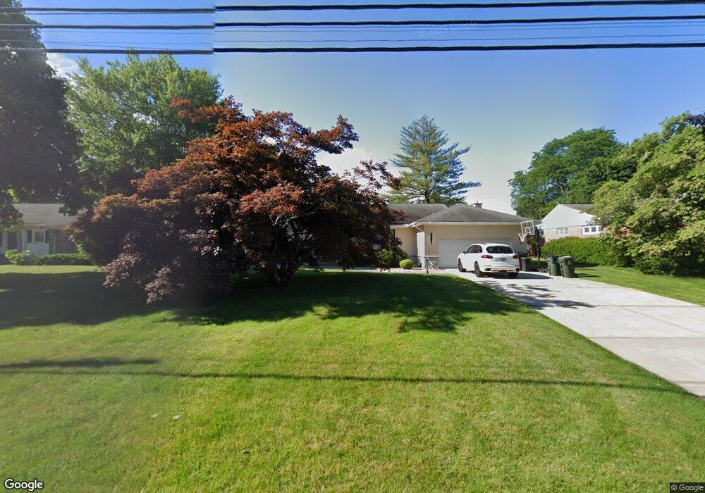
61 W Ridge Dr West Hartford, CT 06117
Estimated Value: $532,000 - $675,000
3
Beds
3
Baths
2,372
Sq Ft
$263/Sq Ft
Est. Value
About This Home
This home is located at 61 W Ridge Dr, West Hartford, CT 06117 and is currently estimated at $624,051, approximately $263 per square foot. 61 W Ridge Dr is a home located in Hartford County with nearby schools including Norfeldt School, King Philip Middle School, and Hall High School.
Ownership History
Date
Name
Owned For
Owner Type
Purchase Details
Closed on
Aug 27, 2009
Sold by
Mundair Anmol and Mundair Deborah
Bought by
Winiarski Marcin
Current Estimated Value
Home Financials for this Owner
Home Financials are based on the most recent Mortgage that was taken out on this home.
Original Mortgage
$291,620
Outstanding Balance
$190,524
Interest Rate
5.17%
Estimated Equity
$433,527
Purchase Details
Closed on
Sep 17, 2008
Sold by
Levin Jack
Bought by
Mundair Anmol and Mundair Deborah
Create a Home Valuation Report for This Property
The Home Valuation Report is an in-depth analysis detailing your home's value as well as a comparison with similar homes in the area
Home Values in the Area
Average Home Value in this Area
Purchase History
| Date | Buyer | Sale Price | Title Company |
|---|---|---|---|
| Winiarski Marcin | $297,000 | -- | |
| Mundair Anmol | $315,000 | -- |
Source: Public Records
Mortgage History
| Date | Status | Borrower | Loan Amount |
|---|---|---|---|
| Open | Mundair Anmol | $291,620 | |
| Previous Owner | Mundair Anmol | $75,000 | |
| Previous Owner | Mundair Anmol | $25,000 |
Source: Public Records
Tax History Compared to Growth
Tax History
| Year | Tax Paid | Tax Assessment Tax Assessment Total Assessment is a certain percentage of the fair market value that is determined by local assessors to be the total taxable value of land and additions on the property. | Land | Improvement |
|---|---|---|---|---|
| 2025 | $12,247 | $273,490 | $91,210 | $182,280 |
| 2024 | $11,582 | $273,490 | $91,210 | $182,280 |
| 2023 | $11,191 | $273,490 | $91,210 | $182,280 |
| 2022 | $11,126 | $273,490 | $91,210 | $182,280 |
| 2021 | $10,613 | $250,180 | $87,640 | $162,540 |
| 2020 | $10,367 | $248,010 | $79,730 | $168,280 |
| 2019 | $10,367 | $248,010 | $79,730 | $168,280 |
| 2018 | $10,168 | $248,010 | $79,730 | $168,280 |
| 2017 | $10,178 | $248,010 | $79,730 | $168,280 |
| 2016 | $9,273 | $234,710 | $66,360 | $168,350 |
| 2015 | $8,992 | $234,710 | $66,360 | $168,350 |
| 2014 | $8,771 | $234,710 | $66,360 | $168,350 |
Source: Public Records
Map
Nearby Homes
- 53 Whitehill Dr
- 35 W Ridge Dr
- 30 Farmstead Ln
- 2581 Albany Ave
- 2645 Albany Ave
- 8 Tanglewood Rd
- 62 Blue Ridge Ln
- 100 Richmond Ln
- 64 Harvest Ln
- 1 King Philip Dr Unit 207
- 51 Sky View Dr Unit 4
- 14 Gledhill Ln
- 139 Mohawk Dr
- 105 Hilldale Rd
- 592 Mountain Rd Unit A
- 68 Lyman Rd
- 6 Old Oak Rd
- 83 Haynes Rd
- 138 Mohegan Dr
- 84 Seminole Cir