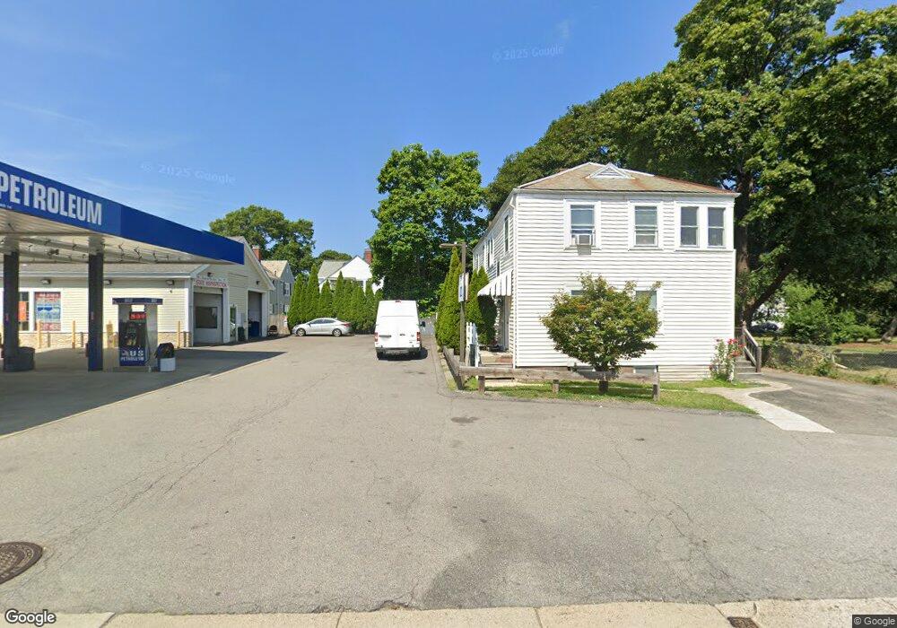
61 Whiton Ave Quincy, MA 02169
Quincy Point NeighborhoodEstimated Value: $733,319 - $838,000
4
Beds
2
Baths
1,872
Sq Ft
$419/Sq Ft
Est. Value
About This Home
This home is located at 61 Whiton Ave, Quincy, MA 02169 and is currently estimated at $783,580, approximately $418 per square foot. 61 Whiton Ave is a home located in Norfolk County with nearby schools including Point Webster Middle School, Clifford H. Marshall Elementary School, and Quincy High School.
Ownership History
Date
Name
Owned For
Owner Type
Purchase Details
Closed on
Aug 19, 2016
Sold by
Hennessey Adam H and Hennessey Rosanna G
Bought by
Hfp Llc
Current Estimated Value
Purchase Details
Closed on
Aug 31, 2000
Sold by
Bastianelli Ben and Bastianelli Diane M
Bought by
Hennessey Adam H
Home Financials for this Owner
Home Financials are based on the most recent Mortgage that was taken out on this home.
Original Mortgage
$247,000
Interest Rate
8.16%
Mortgage Type
Purchase Money Mortgage
Create a Home Valuation Report for This Property
The Home Valuation Report is an in-depth analysis detailing your home's value as well as a comparison with similar homes in the area
Home Values in the Area
Average Home Value in this Area
Purchase History
| Date | Buyer | Sale Price | Title Company |
|---|---|---|---|
| Hfp Llc | -- | -- | |
| Hennessey Adam H | $260,000 | -- |
Source: Public Records
Mortgage History
| Date | Status | Borrower | Loan Amount |
|---|---|---|---|
| Previous Owner | Hennessey Adam H | $247,000 | |
| Previous Owner | Hennessey Adam H | $127,000 |
Source: Public Records
Tax History Compared to Growth
Tax History
| Year | Tax Paid | Tax Assessment Tax Assessment Total Assessment is a certain percentage of the fair market value that is determined by local assessors to be the total taxable value of land and additions on the property. | Land | Improvement |
|---|---|---|---|---|
| 2025 | $7,483 | $649,000 | $267,900 | $381,100 |
| 2024 | $7,049 | $625,500 | $255,100 | $370,400 |
| 2023 | $6,705 | $602,400 | $232,000 | $370,400 |
| 2022 | $6,697 | $559,000 | $210,900 | $348,100 |
| 2021 | $6,366 | $524,400 | $210,900 | $313,500 |
| 2020 | $6,437 | $517,900 | $198,900 | $319,000 |
| 2019 | $5,676 | $452,300 | $184,200 | $268,100 |
| 2018 | $5,609 | $420,500 | $167,500 | $253,000 |
| 2017 | $5,781 | $408,000 | $159,400 | $248,600 |
| 2016 | $5,257 | $366,100 | $144,900 | $221,200 |
| 2015 | $5,050 | $345,900 | $136,700 | $209,200 |
| 2014 | $4,382 | $294,900 | $136,700 | $158,200 |
Source: Public Records
Map
Nearby Homes
- 613 South St Unit 1
- 9 Avalon Ave
- 585 Washington St Unit model
- 26 Lawrence St
- 17 Watson Terrace
- 41 Broadway
- 50 Des Moines Rd Unit E1
- 35 Des Moines Rd Unit 310
- 35 Desmoines Rd Unit 510
- 934 Southern Artery Unit 109
- 200 Cove Way Unit 614
- 200 Cove Way Unit 819
- 86 E Howard St Unit 107
- 25 5th Ave
- 31 Graham St
- 161 Sumner St Unit 4
- 34 Bowes Ave
- 10 Forbush Ave
- 200 Falls Blvd Unit C308
- 200 Falls Blvd Unit A105
- 61 Whiton Ave Unit 1
- 63 Whiton Ave Unit 1
- 57 Whiton Ave
- 57 Whiton Ave Unit 59
- 57 Whiton Ave Unit 2
- 57 Whiton Ave Unit 1
- 57 Whiton Ave
- 53 Whiton Ave
- 674 Washington St
- 674 Washington St Unit 2
- 676 Washington St
- 674 Washington St Unit 1
- 60 Whiton Ave
- 62 Whiton Ave
- 58 Whiton Ave
- 49 Whiton Ave
- 66 Whiton Ave
- 54 Whiton Ave
- 56 Whiton Ave
- 54 Whiton Ave Unit 54