61 Woods End Rd New Canaan, CT 06840
Estimated Value: $4,557,186 - $5,687,000
5
Beds
5
Baths
4,355
Sq Ft
$1,165/Sq Ft
Est. Value
About This Home
This home is located at 61 Woods End Rd, New Canaan, CT 06840 and is currently estimated at $5,075,729, approximately $1,165 per square foot. 61 Woods End Rd is a home located in Fairfield County with nearby schools including West Elementary School, Saxe Middle School, and New Canaan High School.
Ownership History
Date
Name
Owned For
Owner Type
Purchase Details
Closed on
Apr 16, 2021
Sold by
Walter Brian and Walter Abbe
Bought by
Graham Derek and Whiting Sarah
Current Estimated Value
Home Financials for this Owner
Home Financials are based on the most recent Mortgage that was taken out on this home.
Original Mortgage
$3,190,000
Outstanding Balance
$2,880,183
Interest Rate
3%
Mortgage Type
Balloon
Estimated Equity
$2,195,546
Purchase Details
Closed on
Jun 27, 2008
Sold by
Bacon-Rucci Deborah
Bought by
Walter Abbe L and Walter Brian T
Create a Home Valuation Report for This Property
The Home Valuation Report is an in-depth analysis detailing your home's value as well as a comparison with similar homes in the area
Home Values in the Area
Average Home Value in this Area
Purchase History
| Date | Buyer | Sale Price | Title Company |
|---|---|---|---|
| Graham Derek | -- | None Available | |
| Graham Derek | -- | None Available | |
| Walter Abbe L | $3,000,000 | -- | |
| Walter Abbe L | $3,000,000 | -- |
Source: Public Records
Mortgage History
| Date | Status | Borrower | Loan Amount |
|---|---|---|---|
| Open | Graham Derek | $3,190,000 | |
| Closed | Graham Derek | $3,190,000 | |
| Previous Owner | Walter Abbe L | $2,900,000 |
Source: Public Records
Tax History Compared to Growth
Tax History
| Year | Tax Paid | Tax Assessment Tax Assessment Total Assessment is a certain percentage of the fair market value that is determined by local assessors to be the total taxable value of land and additions on the property. | Land | Improvement |
|---|---|---|---|---|
| 2025 | $48,281 | $2,892,820 | $854,700 | $2,038,120 |
| 2024 | $46,690 | $2,892,820 | $854,700 | $2,038,120 |
| 2023 | $35,258 | $1,861,580 | $785,890 | $1,075,690 |
| 2022 | $34,197 | $1,861,580 | $785,890 | $1,075,690 |
| 2021 | $33,806 | $1,861,580 | $785,890 | $1,075,690 |
| 2020 | $33,806 | $1,861,580 | $785,890 | $1,075,690 |
| 2019 | $33,955 | $1,861,580 | $785,890 | $1,075,690 |
| 2018 | $39,865 | $2,350,530 | $727,650 | $1,622,880 |
| 2017 | $37,908 | $2,274,020 | $727,650 | $1,546,370 |
| 2016 | $37,089 | $2,274,020 | $727,650 | $1,546,370 |
| 2015 | $37,658 | $2,274,020 | $727,650 | $1,546,370 |
| 2014 | $23,989 | $1,543,710 | $727,650 | $816,060 |
Source: Public Records
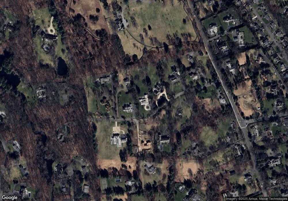
Map
Nearby Homes
- 197 Park St Unit 13
- 42 Forest St Unit A
- 317 Park St
- 15 Burtis Ave Unit Townhome D
- 15 Burtis Ave Unit West Penthouse B
- 15 Burtis Ave Unit East Penthouse C
- 15 Burtis Ave Unit Townhome A
- 15 Burtis Ave Unit East Plaza 203
- 204 Parade Hill Rd
- 470 Frogtown Rd Unit Lot 1
- 60 East Ave
- 64 East Ave
- 276 Greenley Rd
- 298 Greenley Rd
- 101 Parade Hill Rd
- 145 River St
- 50 Harrison Ave
- 61 Smith Ridge Rd
- 180 Summer St
- 52 Garibaldi Ln