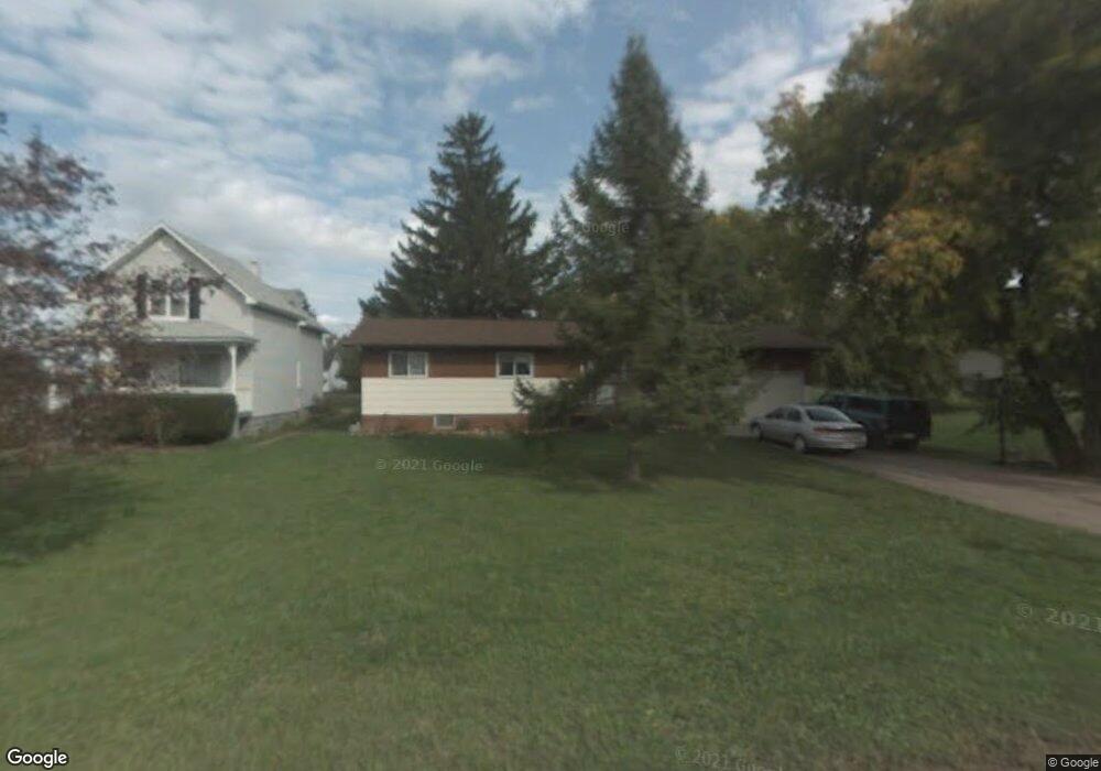
610 16th Ave W Ashland, WI 54806
Estimated Value: $168,000 - $209,000
3
Beds
1
Bath
1,008
Sq Ft
$186/Sq Ft
Est. Value
About This Home
This home is located at 610 16th Ave W, Ashland, WI 54806 and is currently estimated at $187,108, approximately $185 per square foot. 610 16th Ave W is a home located in Ashland County with nearby schools including Ashland High School, Lake Superior High, and Our Lady Of The Lake Catholic School.
Ownership History
Date
Name
Owned For
Owner Type
Purchase Details
Closed on
Oct 6, 2020
Sold by
Plizka William R
Bought by
Plizka Rachel M
Current Estimated Value
Purchase Details
Closed on
May 30, 2008
Sold by
Henri Margaret R
Bought by
Hudak Rachel M and Plizka William R
Home Financials for this Owner
Home Financials are based on the most recent Mortgage that was taken out on this home.
Original Mortgage
$80,000
Interest Rate
6.09%
Mortgage Type
New Conventional
Create a Home Valuation Report for This Property
The Home Valuation Report is an in-depth analysis detailing your home's value as well as a comparison with similar homes in the area
Home Values in the Area
Average Home Value in this Area
Purchase History
| Date | Buyer | Sale Price | Title Company |
|---|---|---|---|
| Plizka Rachel M | -- | None Available | |
| Hudak Rachel M | $105,000 | None Available |
Source: Public Records
Mortgage History
| Date | Status | Borrower | Loan Amount |
|---|---|---|---|
| Closed | Hudak Rachel M | $80,000 |
Source: Public Records
Tax History
| Year | Tax Paid | Tax Assessment Tax Assessment Total Assessment is a certain percentage of the fair market value that is determined by local assessors to be the total taxable value of land and additions on the property. | Land | Improvement |
|---|---|---|---|---|
| 2025 | $3,639 | $123,500 | $14,700 | $108,800 |
| 2024 | $3,383 | $123,500 | $14,700 | $108,800 |
| 2023 | $2,843 | $123,500 | $14,700 | $108,800 |
| 2022 | $2,787 | $123,500 | $14,700 | $108,800 |
| 2021 | $2,633 | $123,500 | $14,700 | $108,800 |
| 2020 | $2,325 | $97,300 | $10,900 | $86,400 |
| 2019 | $2,266 | $97,300 | $10,900 | $86,400 |
| 2018 | $2,186 | $97,300 | $10,900 | $86,400 |
| 2017 | $2,235 | $97,300 | $10,900 | $86,400 |
| 2016 | $2,297 | $97,300 | $10,900 | $86,400 |
| 2015 | $2,390 | $97,300 | $10,900 | $86,400 |
| 2014 | $1,983 | $93,400 | $10,900 | $82,500 |
| 2013 | $2,128 | $93,400 | $10,900 | $82,500 |
Source: Public Records
Map
Nearby Homes
- 3xx 12th Ave W
- 915 11th Ave W
- 1104 3rd St W
- 1306 Lake Shore Dr W
- 1218 & 1222 Lake Shore Dr W
- 801 9th Ave W
- 1217 11th Ave W
- 822 Macarthur Ave
- 1707 Beaser Ave
- 1201 9th Ave W
- 922 Macarthur Ave
- xx Sanborn Ave Unit Parcel 201-04811-000
- 609 Vaughn Ave
- 1217 6th Ave W
- 0 Prentice Heights Rd
- 801 4th Ave W
- 28XX Junction Rd
- 306 7th St W
- 420 1/2 Lake Shore Dr W
- 2812 Fellman Dr
Your Personal Tour Guide
Ask me questions while you tour the home.