Estimated Value: $157,594 - $210,000
3
Beds
2
Baths
1,522
Sq Ft
$122/Sq Ft
Est. Value
About This Home
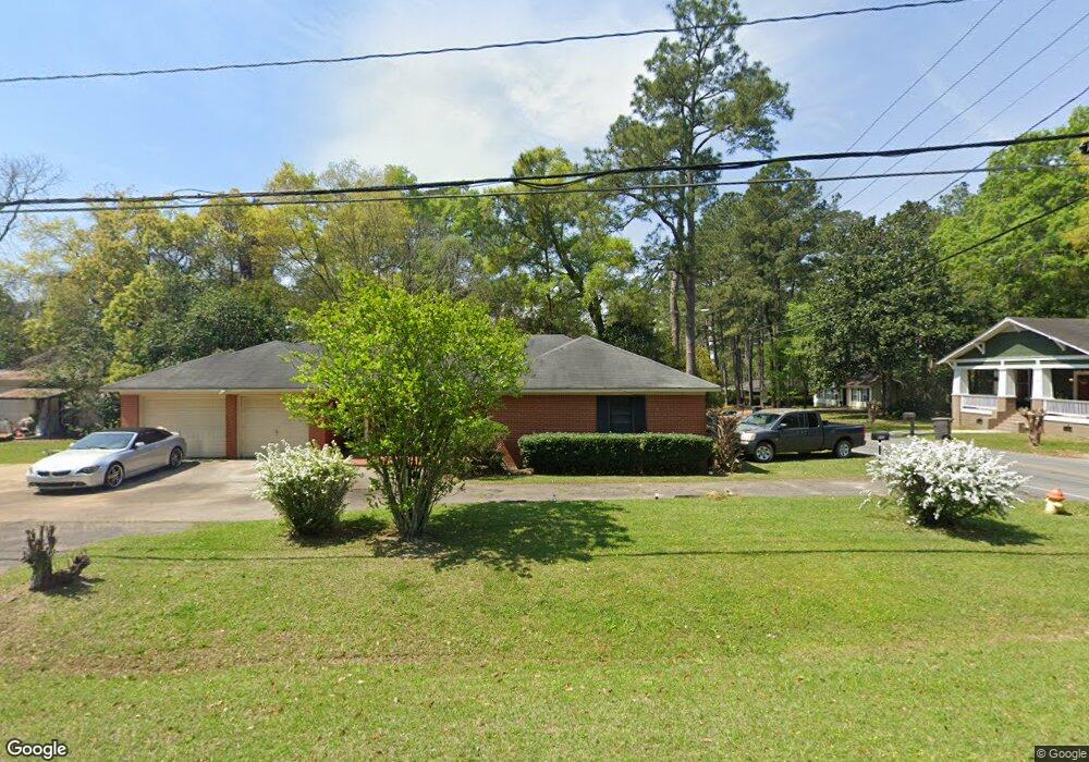
This home is located at 610 5th St SE, Cairo, GA 39828 and is currently estimated at $186,399, approximately $122 per square foot. 610 5th St SE is a home located in Grady County with nearby schools including Cairo High School.
Ownership History
Date
Name
Owned For
Owner Type
Purchase Details
Closed on
Nov 8, 2013
Sold by
Griffin Frank T
Bought by
Springleaf Financial Svcs Inc
Current Estimated Value
Purchase Details
Closed on
Oct 1, 2013
Sold by
Cloud Derrick L
Bought by
Griffin Frank T
Purchase Details
Closed on
Sep 22, 2003
Bought by
Cloud Derrick L
Purchase Details
Closed on
Apr 30, 1999
Sold by
Thomas Willie
Bought by
Thomas Loretta Thompson
Purchase Details
Closed on
Jul 8, 1994
Bought by
Thomas Willie
Create a Home Valuation Report for This Property
The Home Valuation Report is an in-depth analysis detailing your home's value as well as a comparison with similar homes in the area
Home Values in the Area
Average Home Value in this Area
Purchase History
| Date | Buyer | Sale Price | Title Company |
|---|---|---|---|
| Springleaf Financial Svcs Inc | -- | -- | |
| Griffin Frank T | $2,000 | -- | |
| Cloud Derrick L | -- | -- | |
| Thomas Loretta Thompson | -- | -- | |
| Thomas Willie | $65,000 | -- |
Source: Public Records
Tax History Compared to Growth
Tax History
| Year | Tax Paid | Tax Assessment Tax Assessment Total Assessment is a certain percentage of the fair market value that is determined by local assessors to be the total taxable value of land and additions on the property. | Land | Improvement |
|---|---|---|---|---|
| 2024 | $2,450 | $63,662 | $2,500 | $61,162 |
| 2023 | $1,453 | $40,924 | $3,724 | $37,200 |
| 2022 | $1,514 | $40,924 | $3,724 | $37,200 |
| 2021 | $1,518 | $40,924 | $3,724 | $37,200 |
| 2020 | $1,522 | $40,924 | $3,724 | $37,200 |
| 2019 | $1,522 | $40,924 | $3,724 | $37,200 |
| 2018 | $1,447 | $40,924 | $3,724 | $37,200 |
| 2017 | $1,393 | $40,924 | $3,724 | $37,200 |
| 2016 | $1,207 | $34,902 | $3,724 | $31,178 |
| 2015 | $1,195 | $34,902 | $3,724 | $31,178 |
| 2014 | $1,195 | $34,902 | $3,724 | $31,178 |
| 2013 | -- | $31,578 | $3,723 | $27,855 |
Source: Public Records
Map
Nearby Homes
- 530 6th Ave SE
- 602 4th St SE
- 481 4th St SE
- 471 4th St SE
- 309 3rd St SE
- 000 S Broad St
- 270 Muggridge Ln
- 27 6th Ave SW
- 530 6th St
- 40 5th Ave SW
- 720 1st St SW
- 1193 S Broad St
- Lot #15, 3 64 Acres Oakbend Cir
- 000 Hwy 111 South 20 59 Acres
- 460 2nd St SW
- 112 Pine Cir SW
- X 1st St
- 00 Hwy 111 South Tract 1
- 316,322 NW 1st St + Lot
- 0 1st St